Remote sensing image encryption retrieval method based on Arnold chaotic mapping
A remote sensing image, chaotic mapping technology, applied in image enhancement, image analysis, image data processing and other directions, can solve the problem of remote sensing image encryption retrieval, etc., to achieve high security and anti-attack, good anti-attack, security high effect
- Summary
- Abstract
- Description
- Claims
- Application Information
AI Technical Summary
Problems solved by technology
Method used
Image
Examples
Embodiment 1
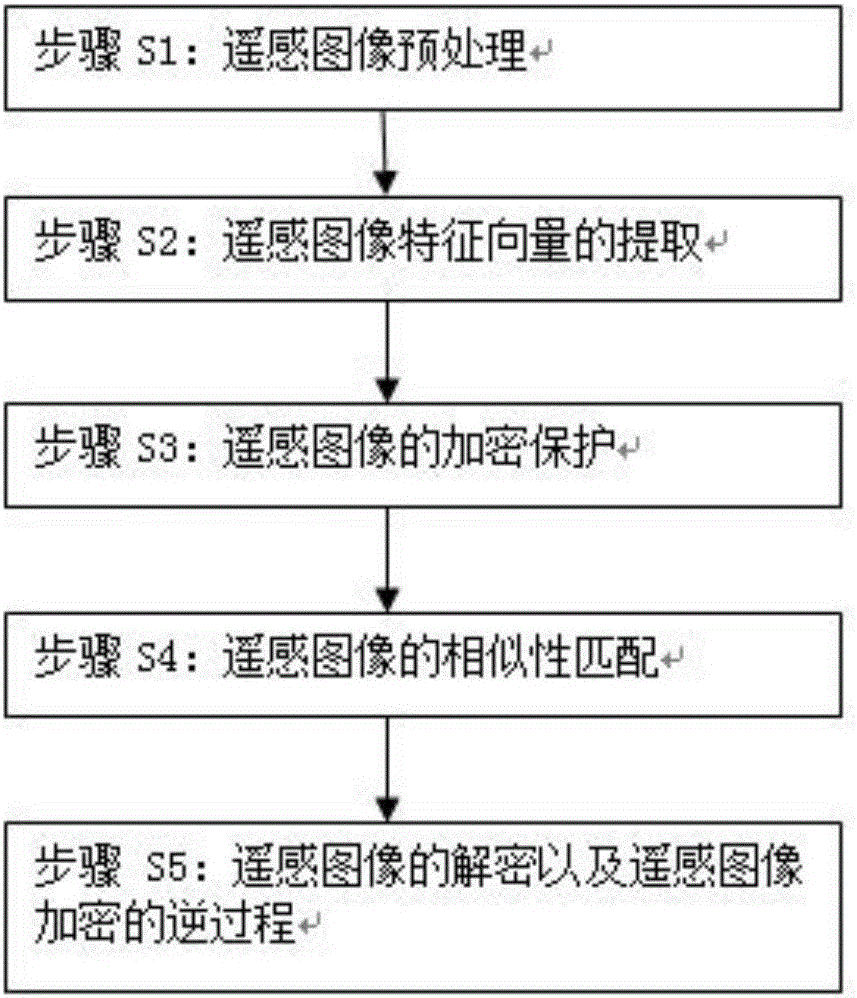
[0045] Please refer to figure 1 , figure 1 It is a flow chart of a remote sensing image encryption retrieval method based on Arnold chaotic map of the present invention. A kind of remote sensing image encryption retrieval method based on Arnold chaotic map, described remote sensing image encryption retrieval method comprises the following steps:
[0046] Step S1: remote sensing image preprocessing;
[0047] The remote sensing image will be affected by the external environment in the process of acquisition and transmission, which will reduce the quality of the image and bring certain difficulties to the analysis and recognition of remote sensing image. Therefore, it is necessary to denoise the remote sensing image before use to enhance the spectral characteristics of the remote sensing image.
[0048]Step S11: This scheme adopts the encryption algorithm based on Arnold chaotic map, so it is necessary to process the border of the encrypted remote sensing image to make the len...
Embodiment 2
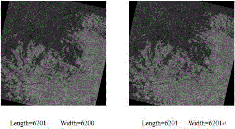
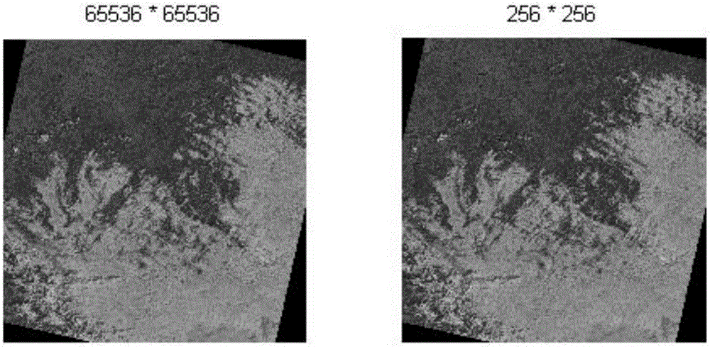
[0072] In order to better understand the above technical solutions, the following will be combined with the attached Figure 2-Figure 6 Further illustrate, a kind of remote sensing image encryption retrieval method based on Arnold chaotic map of the present invention comprises the following steps:
[0073] Step S1: Remote sensing image preprocessing
[0074] Step S11: by filling the border of the image with 0 (black), the length and width of the encrypted remote sensing image are even numbers;
[0075] Step S12: preprocessing the remote sensing image by using the impact filter and the nonlinear anisotropic diffusion filter, while smoothing the noise, retaining the edge and texture details of the original image;
[0076] Step S13: use the image edge detection operator to preprocess the image and calculate the adaptive parameter x_f;
[0077] Step S14: According to the above adaptive parameter x_f, we can obtain the corresponding adaptive total variational model (ATV) to remov...
PUM
 Abstract
Description
Claims
Application Information
 - R&D
- Intellectual Property
- Life Sciences
- Materials
- Tech Scout
- Unparalleled Data Quality
- Higher Quality Content
- 60% Fewer Hallucinations
Browse by: Latest US Patents, China's latest patents, Technical Efficacy Thesaurus, Application Domain, Technology Topic, Popular Technical Reports.
© 2025 PatSnap. All rights reserved.Legal|Privacy policy|Modern Slavery Act Transparency Statement|Sitemap|About US| Contact US: help@patsnap.com


