
Dtm estimation method, dtm estimation program, dtm estimation device, and method for creating 3-dimensional building model, and region extraction method, region extraction program, and region extraction device

a technology of dtm estimation and estimation method, which is applied in the field of dtm estimation method, dtm estimation program, dtm estimation device, and method for creating 3-dimensional building model, can solve the problems of ineffective work of conventional region extraction method, and achieve the effect of improving accuracy and accurate extraction of dtm estimation

Inactive Publication Date: 2014-03-20
KYOTO UNIV
View PDF14 Cites 14 Cited by
  • Summary
  • Abstract
  • Description
  • Claims
  • Application Information

AI Technical Summary

Benefits of technology

This patent text describes a method and device for estimating the height of buildings using aerial photographs. The invention improves the accuracy of this estimation. Additionally, the patent text describes a method for accurately extracting the region of a building from this data. This can be useful for creating 3-dimensional building models.

Problems solved by technology

In such a dense urban area, conventional region extraction methods do not work effectively.

Method used


Image

  • Dtm estimation method, dtm estimation program, dtm estimation device, and method for creating 3-dimensional building model, and region extraction method, region extraction program, and region extraction device
  • Dtm estimation method, dtm estimation program, dtm estimation device, and method for creating 3-dimensional building model, and region extraction method, region extraction program, and region extraction device
  • Dtm estimation method, dtm estimation program, dtm estimation device, and method for creating 3-dimensional building model, and region extraction method, region extraction program, and region extraction device

Examples


example 5

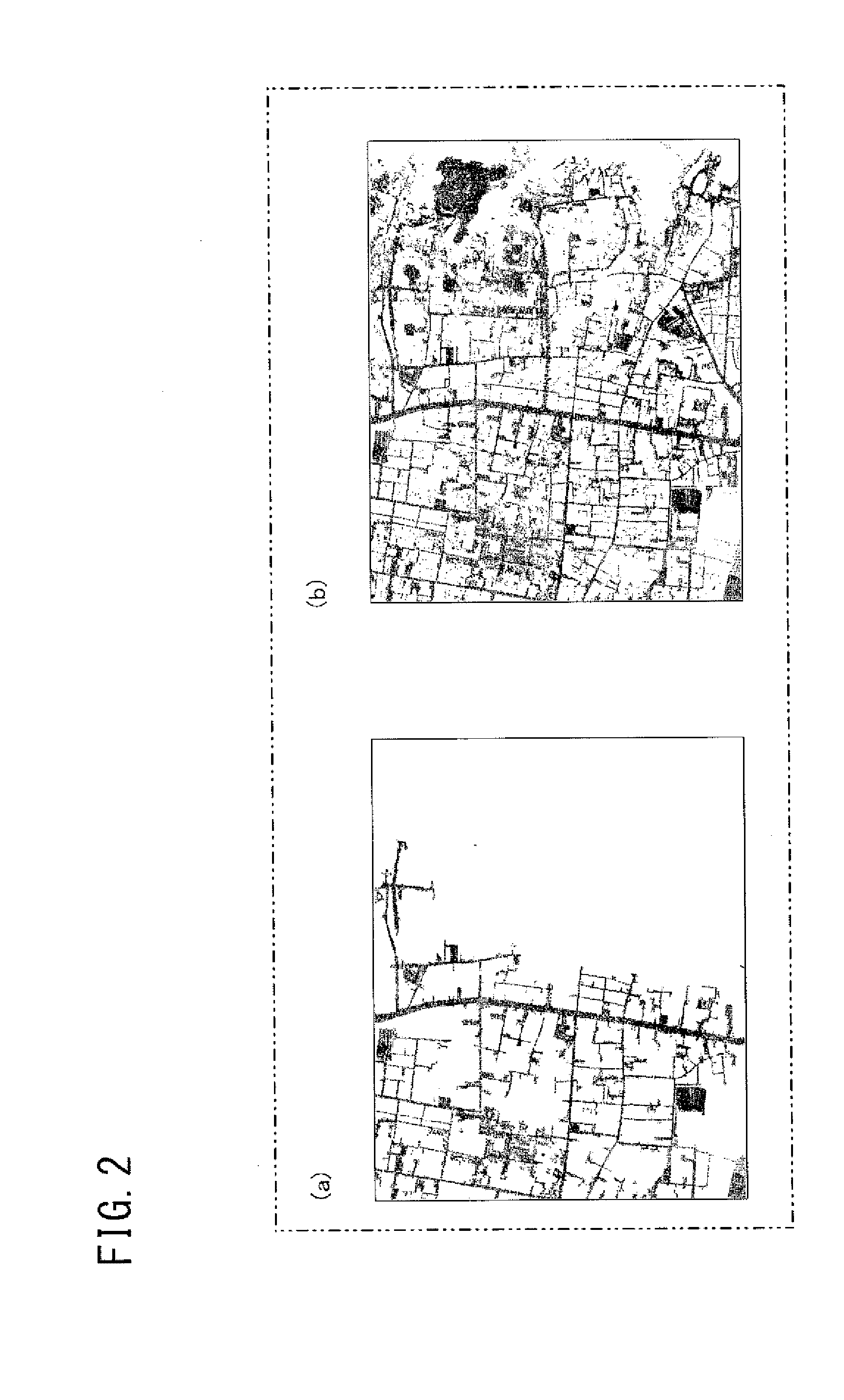
[0130]Although not shown, DTMs for the first time and the second time were also obtained for a rooftop parking area of a building, and there was almost no change therebetween. In this case, the parking area was not erroneously recognized as a ground surface.

[0131]>

[0132]In the above DTM estimation method / program (or program storage medium) / device, a river region is excluded in estimation of a DTM, whereby deterioration of the accuracy of the DTM due to searching for a ground surface across a river can be prevented. In addition, if a local slope exceeds a predetermined value in the estimated DTM, the second maximum allowable slope value greater than the first maximum allowable slope value is set to estimate a DTM again, whereby ground surface data that could not be searched for in the processing for the first time is added, thus improving the accuracy of the DTM estimation.

[0133]It is noted that the second maximum allowable slope value may be increased or decreased in accordance with...

example 1

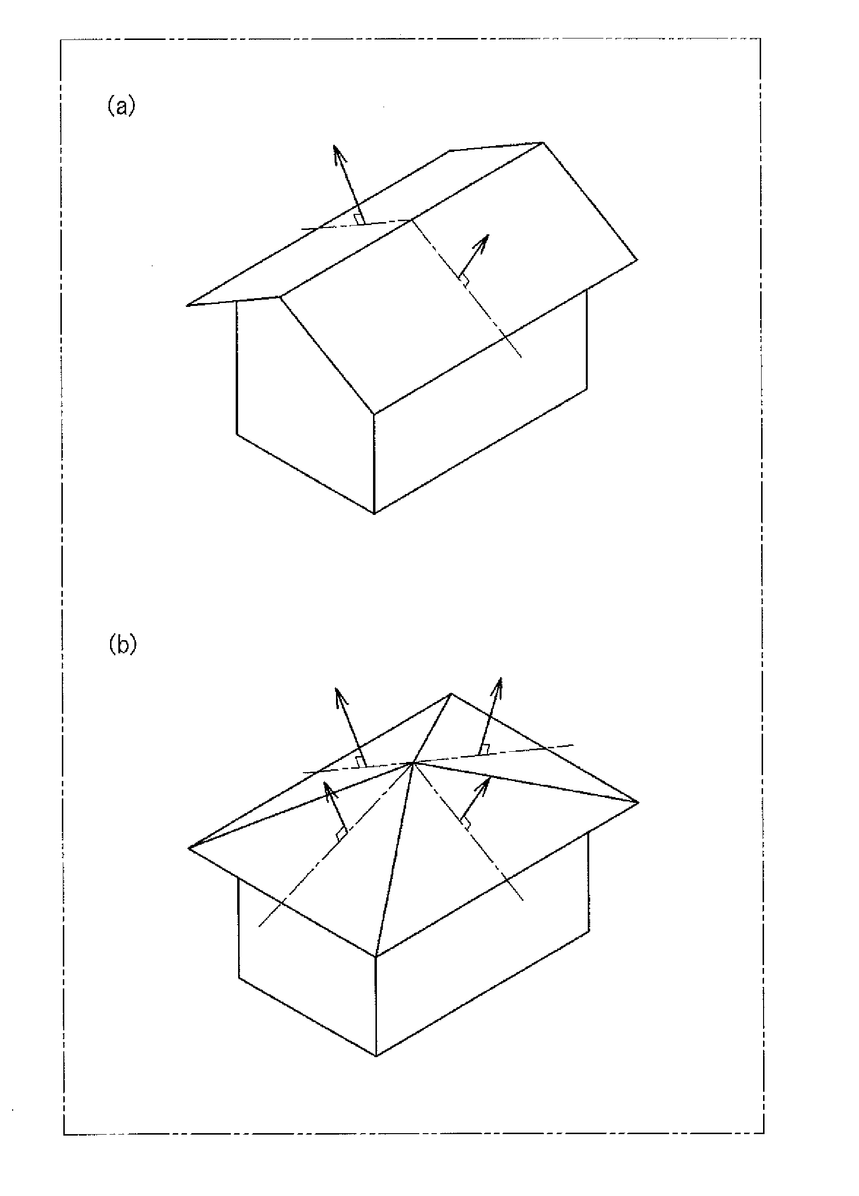
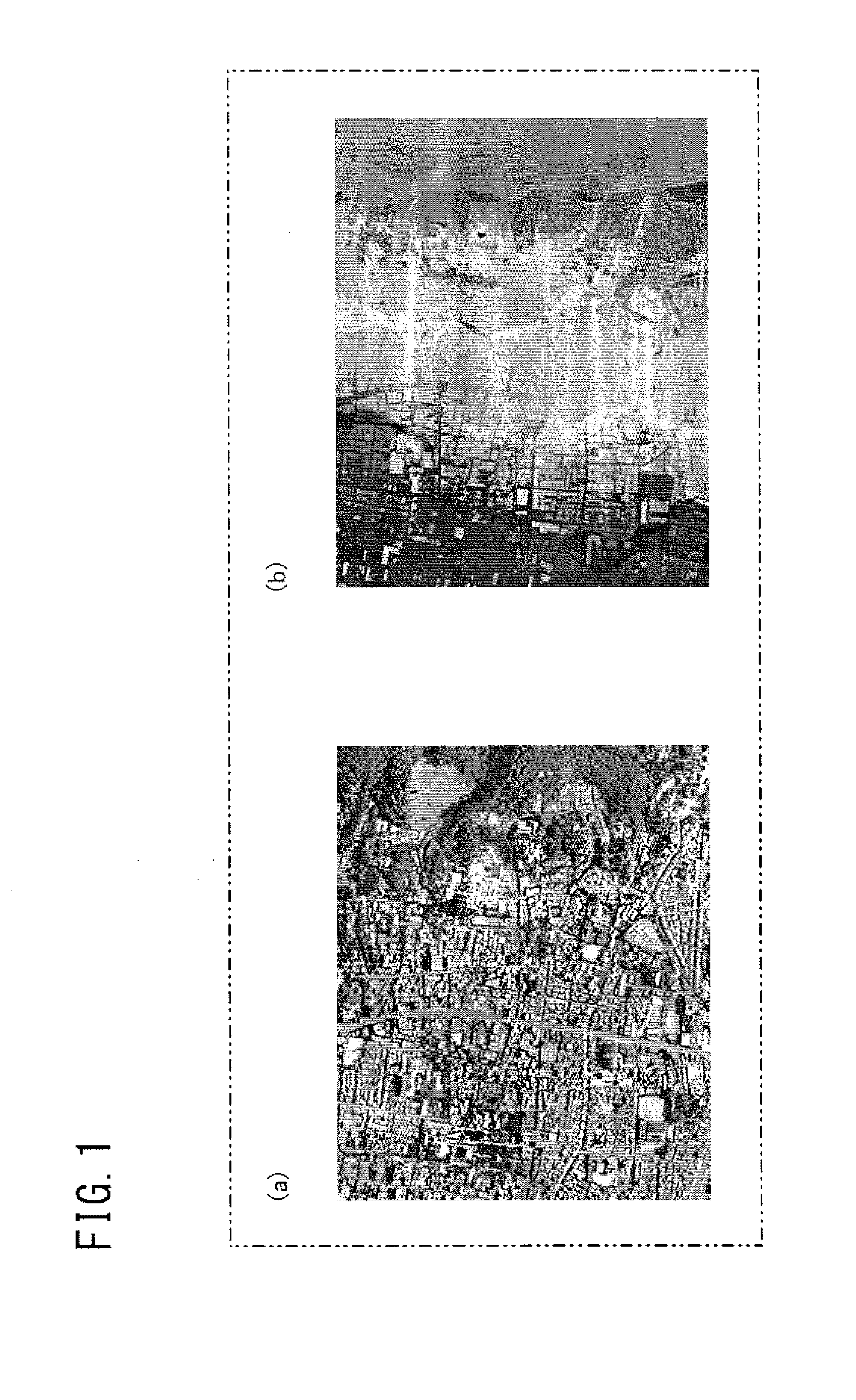
[0170]In FIG. 11, (a) is an aerial photograph (75 m×75 m) of an urban area. (b) is a result of a region division, which is shown in a color coded manner for convenience sake (though colors are not displayed in this drawing) but the colors themselves are not significant. As shown in FIG. 11(b), boundaries of roofs are generally recognized. In addition, the features of a gable and a hip roof are recognized at some portions. In FIG. 12, (a) and (b) are 3-dimensional building wire frame models. (a) shows 2-dimensional shapes and (b) shows 3-dimensional shapes. It is found that the shapes of roofs such as a flat, a gable roof, and a hip roof appear clearly.

example 2

[0171]In FIG. 13, (a) is an aerial photograph (75 m×75 m) of an urban area including a high-rise building. (b) is a result of a region division, which is shown in a color coded manner for convenience sake (though colors are not displayed in this drawing) but the colors themselves are not significant. As shown in (b), boundaries of roofs are generally recognized. In addition, the features of a gable roof and a hip roof are recognized at some portions. In FIG. 14, (a) and (b) are 3-dimensional building wire frame models. (a) shows 2-dimensional shapes and (b) shows 3-dimensional shapes. It is found that the shapes of roofs such as a flat, a gable roof and a hip roof appear clearly.


PUM


Abstract

In DTM estimation, no pixel data is present within a unit grid in a predetermined range linked to extract a river region. For data excluding the river region, a first maximum slope value is set and DTM is estimated. A local slope is calculated from the estimated DTM. If the slope exceeds value, a second maximum slope value greater than the first is set and DTM is estimated again. In region extraction, for extracting a building region based on a photograph, different discretization widths are set, and brightness values of data are discretized into values discretely set by each discretization widths. Pixels having identical value in a discretized image are linked, and a region having a rectangle shape is extracted as candidate of a building region. From the respective different discretization widths extracted, a region is employed, as a building region, in decreasing order of closeness shape to a rectangle.

Description

TECHNICAL FIELD[0001][DTM estimation method, DTM estimation program, DTM estimation device, and method for creating 3-dimensional building model][0002]The present invention relates to a technique of estimating a DTM (Digital Terrain Model) based on laser scanner data of an earth's surface obtained by an aircraft.[0003][Region extraction method, region extraction program, and region extraction device][0004]In addition, the present invention relates to a method, a program, and a device for extracting a region of a building based on data of a photograph taken from an aircraft or a satellite.BACKGROUND ART[0005][DTM estimation method, DTM estimation program, DTM estimation device, and method for creating 3-dimensional building model][0006]LiDAR (Light Detection And Ranging) data obtained as a reflected wave when an earth's surface is laser-scanned from an aircraft can be used as highly accurate point cloud data of 3-dimensional coordinates for measuring the height of a building or the t...

Claims


Application Information

Patent Timeline
IPC IPC(8): G06F17/50G06T17/00
CPCG06F17/5004G06T1/00G06T7/0057G06T2207/30181G06T17/05G06T17/00G06T2207/10028G06T2207/10032G06T7/521G06F30/13
Inventor SUSAKI, JUNICHI
Owner KYOTO UNIV
Learn More