
Planar integrated microwave height-finding radar applied to unmanned aerial vehicle and measurement method

An integrated, unmanned aerial vehicle technology, applied in the field of ranging radar, can solve the problems of inability to work around the clock, large measurement errors, and limited detection distance, etc., to simplify the signal processing process and meet the needs of compact, portable, dynamic wide range of effects

Active Publication Date: 2018-12-21
NANJING UNIV OF INFORMATION SCI & TECH
View PDF13 Cites 8 Cited by
  • Summary
  • Abstract
  • Description
  • Claims
  • Application Information

AI Technical Summary

Problems solved by technology

The main problem of this method is: under different climatic conditions, the relationship between air pressure and altitude shows variability, resulting in large measurement errors
[0013] Existing UAV-borne height measurement devices have shortcomings such as not being able to work around the clock, not being easy to integrate, and having limited detection distances

Method used


Image

  • Planar integrated microwave height-finding radar applied to unmanned aerial vehicle and measurement method
  • Planar integrated microwave height-finding radar applied to unmanned aerial vehicle and measurement method
  • Planar integrated microwave height-finding radar applied to unmanned aerial vehicle and measurement method

Examples


Embodiment

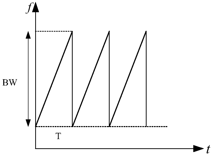
[0059] This embodiment provides a frequency modulation continuous wave altimetry radar operating in the 24GHz frequency band based on RT / Rogers4350 with a thickness of 0.254mm and a FR4 dielectric substrate with a thickness of 0.6mm. Its technical indicators are as follows:

[0060] Working frequency band: 24.125±0.25GHz;

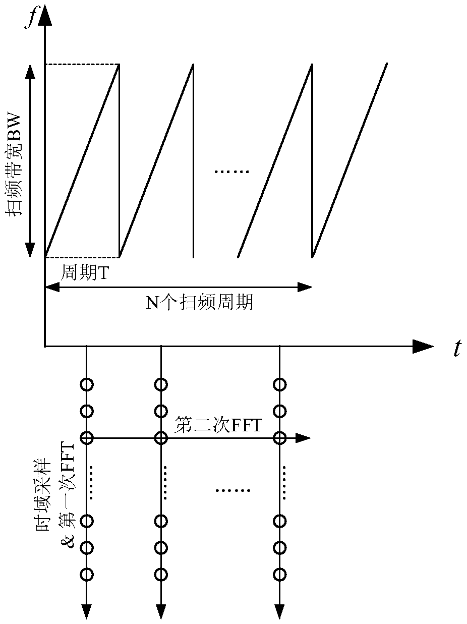
[0061] Signal form: short cycle high repetition frequency chirp continuous wave (Fast chirp FMCW)

[0062] Transmission power: 13dBm

[0063] Antenna gain: 19dBi;

[0064] Beam width: 14°

[0065] Receiver noise figure: 18dB

[0066] Detection distance: 1m-150m;

[0067] Measurement resolution: 0.75m;

[0068] Measuring high precision: 0.1m

[0069] Data rate: 100Hz

[0070] Device power consumption: <2.5W

[0071] External power supply: 5-30Vdc

[0072] Equipment reliability: MTBF>5000h

[0073] Dimensions: 90*80*5 (length*width*height, unit: mm)

[0074] The radar sensor provided in this example is implemented based on the structure of a four-l...


PUM


Abstract

The invention discloses a planar integrated microwave height-finding radar applied to an unmanned aerial vehicle. The radar comprises a microwave substrate, a first substrate and a second substrate, wherein the microwave substrate, the first substrate and the second substrate are sequentially stacked from top to bottom, a radio frequency transceiver front end, a transmitting antenna, a receiving antenna, a first filter, a second filter and a hybrid ring are arranged on the upper surface of the microwave substrate, and a frequency synthesizer, a power management module, a communication interface module and a control processing circuit are arranged at the bottom of the second substrate. The invention furthermore discloses a measurement method of the planar integrated microwave height-findingradar applied to the unmanned aerial vehicle. A radar sensor for performing precise and stable height measurement all time is constructed.

Description

technical field [0001] The invention relates to the technical field of ranging radar in a microwave frequency band radar system, in particular to a planar integrated microwave altimetry radar and a measuring method applied to unmanned aerial vehicles. Background technique [0002] During the low-altitude flight operation of the UAV, it is necessary to dynamically adjust the flight height following the ups and downs of the ground surface to ensure the safety of the flight. This needs to be guaranteed by continuous height measurement through the height measuring device carried by the UAV. [0003] The existing UAV altitude measurement mainly has the following methods: [0004] 1. Measure the height by laser radar [0005] 2. Measuring altitude by barometer [0006] 3. Measure height by ultrasonic [0007] 4. Altitude measurement by microwave radar [0008] For the first method, laser radar height measurement is used, as described in the article "Pulsed Laser Altimeter Syst...

Claims


Application Information

Patent Timeline
Patent Type & Authority Applications(China)
IPC IPC(8): G01S13/08G01S13/50
CPCG01S13/08G01S13/50Y02A90/10
Inventor 陈振华
Owner NANJING UNIV OF INFORMATION SCI & TECH
Learn More