Deep learning-based method for identifying newly added building in remote sensing image
A remote sensing image and deep learning technology, applied in the field of image processing, can solve the problems of low resolution and completeness of remote sensing images
- Summary
- Abstract
- Description
- Claims
- Application Information
AI Technical Summary
Problems solved by technology
Method used
Image
Examples
Embodiment
[0051] Such as figure 1 As shown, a method for identifying newly added buildings in remote sensing images based on deep learning includes the following steps:
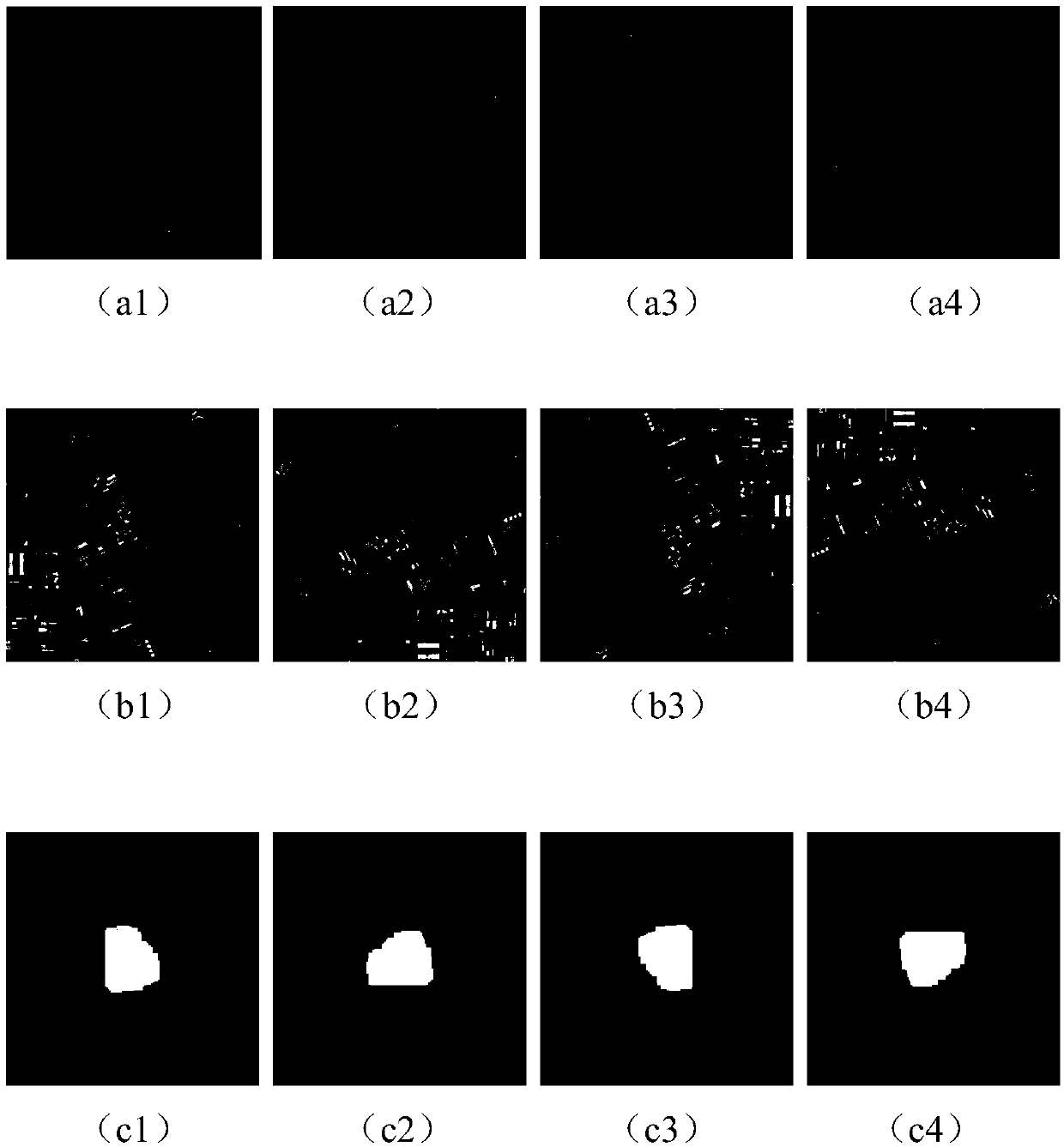
[0052] S1. First, manually collect two remote sensing images of a specific area in two different time periods, and mark some of the newly-added buildings to obtain corresponding newly-added building background (label) images;
[0053] For two remote sensing images in two time periods, some newly added buildings are manually marked according to prior knowledge, the pixel value of the newly added buildings is set to 1, and the rest are set to 0.
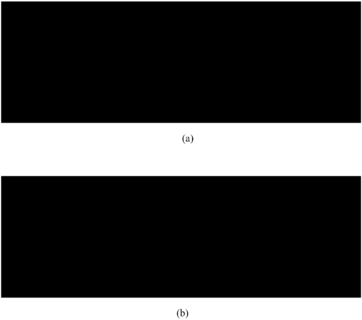
[0054] S2, such as figure 2 (a) and figure 2 (b) The original remote sensing images for two periods of time are shown. Using the designed image sliding cutting algorithm, the two remote sensing images with original sizes and the corresponding new building background images are cut and cropped to obtain several small-size images; The small size image size is 256x256; the idea of th...
PUM
 Abstract
Description
Claims
Application Information
 - R&D Engineer
- R&D Manager
- IP Professional
- Industry Leading Data Capabilities
- Powerful AI technology
- Patent DNA Extraction
Browse by: Latest US Patents, China's latest patents, Technical Efficacy Thesaurus, Application Domain, Technology Topic, Popular Technical Reports.
© 2024 PatSnap. All rights reserved.Legal|Privacy policy|Modern Slavery Act Transparency Statement|Sitemap|About US| Contact US: help@patsnap.com


