Method for acquiring dangerous rock body terrain profile

A technology of terrain profile and dangerous rock mass, applied in the direction of instrumentation, design optimization/simulation, calculation, etc., can solve problems such as low accuracy, low cutting efficiency, and high risk, so as to reduce design changes, save construction funds, The effect of controlling the degree of distortion

Active Publication Date: 2022-01-18
CHINA RAILWAY ERYUAN ENG GRP CO LTD
View PDF5 Cites 0 Cited by
  • Summary
  • Abstract
  • Description
  • Claims
  • Application Information

AI Technical Summary

Problems solved by technology

[0003] The first method: Due to the high and steep dangerous rock mass, it is difficult for surveyors to reach, not only inefficient, high risk, and low measurement accuracy, but also cannot accurately obtain the micro-geomorphological characteristics of the dangerous rock mass on one measurement line, especially for The upside-down dangerous rock mass cannot be used for actual measurement; the second method: can quickly obtain the profile shape of the terrain, but since the contour line is made by fitting the coordinates of the measurement points, the accuracy is extremely low, and the cut-off section It can only display the macroscopic landform features, and cannot accurately obtain the micro-geomorphic features of the dangerous rock mass upside down, steep dip and nearly upright. The cutting efficiency is low, and the cutting accuracy is also affected by landform vegetation; the fourth method: due to the limited load of the UAV, the power of the laser radar equipment carried by it is often small, and the laser of the radar is irradiated to the dangerous rock mass and returned. The points are limited, and the raw data obtained will still contain the morphological data of the vegetation. Although a small number of laser points can pass through the vegetation to obtain the surface shape, the acquisition cost is high, the technology is difficult, and the operation is not easy. Cutting efficiency is low

Method used


Image

  • Method for acquiring dangerous rock body terrain profile
  • Method for acquiring dangerous rock body terrain profile
  • Method for acquiring dangerous rock body terrain profile

Examples


Embodiment 1

[0098] Such as figure 1 Shown, a kind of method of obtaining dangerous rock body topographic profile of the present invention, comprises the following steps:

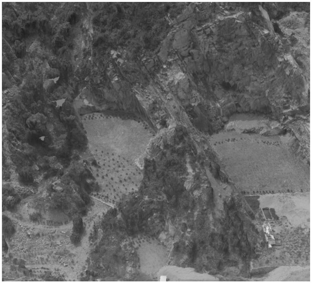
[0099] A. Use the drone to perform three-dimensional oblique photography over the target area, and perform three-dimensional modeling on the aerial pictures to obtain the three-dimensional oblique photography model of the drone;

[0100] B. Select the coordinates of the starting point and the end point on the three-dimensional oblique photographic model of the UAV, determine the cutting line that needs to obtain the topography of the dangerous rock mass in the target area, and select the coordinates of multiple measuring points near the cutting line in turn along the cutting line;

[0101] C. Establish the plane equation of the section line corresponding to the section plane;

[0102] D. Calculate the projection coordinates of the measurement point projected to the section plane;

[0103] E. Set the fitting point of t...

Embodiment 2

[0159] A method for obtaining a topographical section of a dangerous rock mass according to the present invention comprises the following steps:

[0160] A. Use the drone to perform three-dimensional oblique photography over the target area, and perform three-dimensional modeling on the aerial pictures;

[0161] B. Select the coordinates of the starting point and the end point on the three-dimensional oblique photographic model of the UAV, determine the cutting line that needs to obtain the topography of the dangerous rock mass in the target area, and select the coordinates of multiple measuring points near the cutting line in turn along the cutting line;

[0162] C. Establish the plane equation of the section line corresponding to the section plane;

[0163] D. Calculate the projection coordinates of the measurement point projected to the section plane;

[0164] E. Set the fitting point of the terrain profile, judge the inverted feature of the corresponding terrain according...


PUM


Abstract

The invention relates to the technical field of surface form acquisition, and discloses a method for acquiring a dangerous rock body terrain profile, the method comprises the following steps: selecting a starting point coordinate and an end point coordinate on a three-dimensional oblique photography model of an unmanned aerial vehicle, determining the sectioning line of the dangerous rock body terrain in a target area to be acquired, and sequentially selecting a plurality of measurement point coordinates near the sectioning line along the sectioning line; then establishing a plane equation of a sectioning plane corresponding to the sectioning line, and calculating to obtain projection coordinates of the measurement points projected to the sectioning plane; and finally, judging the topographic features of the corresponding area according to the projection coordinates of the measurement points, obtaining the coordinates of the fitting points according to the judgment result, and processing to obtain the topographic profile of the sectioning line position. According to the method for acquiring the dangerous rock body terrain profile, the topographic features of the dangerous rock mass can be quickly and accurately acquired by utilizing the measurement data of the three-dimensional oblique photography model of the unmanned aerial vehicle, complicated sectioning operation does not need to be performed by professional software, and the method is particularly beneficial to acquiring the topographic and geomorphic features of steep upright rock mass and overhung rock mass.

Description

technical field [0001] The invention relates to the technical field of surface morphology acquisition, in particular to a method for acquiring a topographic profile of a dangerous rock mass. Background technique [0002] China's mountainous area accounts for 69.1% of the country's total area. Due to the steep topography, dangerous rock masses are often formed on high and steep slopes. After the dangerous rock collapses, it seriously threatens the safety of railways, highways, houses and other buildings and related personnel. At present, the traditional There are four ways to obtain the topographic profile of dangerous rock mass on high and steep slopes: ① measure the profile of dangerous rock mass on site by using total station and other measuring equipment; ② obtain the profile of dangerous rock mass by cutting large-scale topographic maps; The section of the dangerous rock mass is obtained from the 3D point cloud data of the UAV optical image; ④The section of the dangerous...

Claims


Application Information

Patent Timeline
IPC IPC(8): G06F30/20G06V20/17G06K9/62G06T17/00G06V10/764
CPCG06F30/20G06T17/00G06F18/24
Inventor 李嘉雨张广泽陈明浩王栋马建军侯锦贾哲强邹杨张营旭
Owner CHINA RAILWAY ERYUAN ENG GRP CO LTD
Why Eureka
Try Eureka