Drinking water source environment risk source background list determining and updating method and device
A technology of environmental risk and update method, applied in neural learning methods, resources, data processing applications, etc., can solve problems such as large area, difficulty in discovery, and wrong judgment of information categories
- Summary
- Abstract
- Description
- Claims
- Application Information
AI Technical Summary
Problems solved by technology
Method used
Image

Examples
Embodiment 1
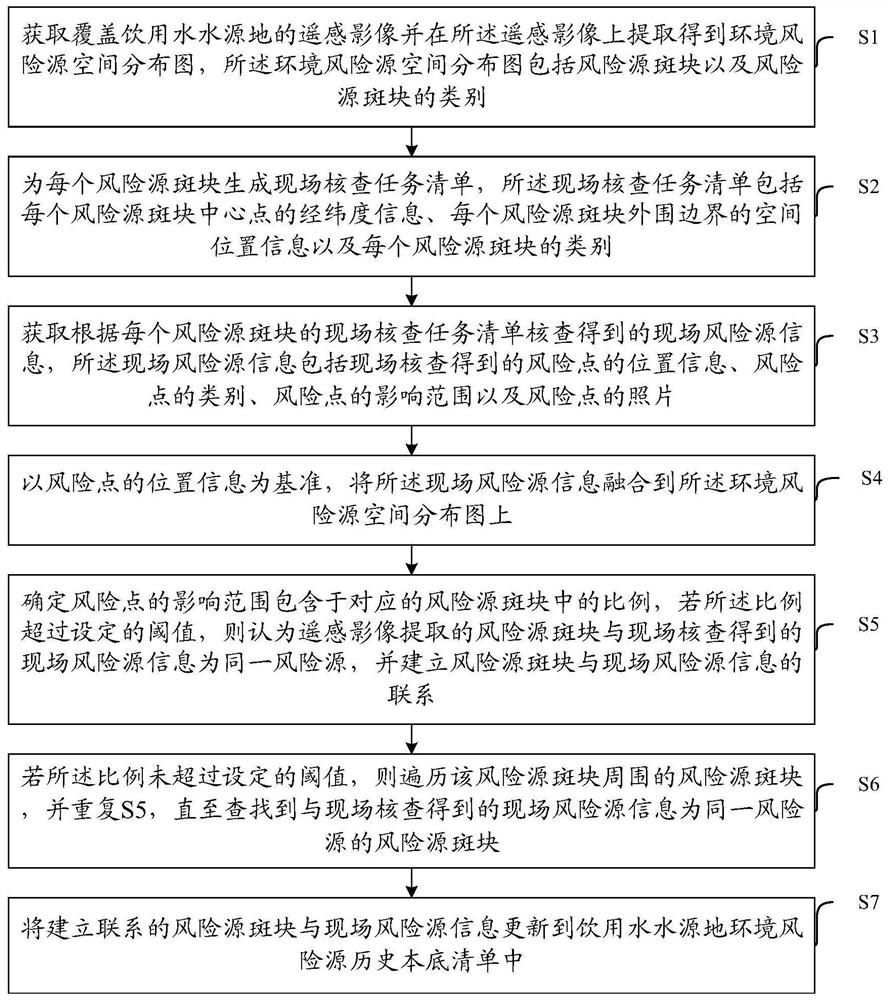
[0126] The embodiment of the present invention provides a method for determining and updating the background list of environmental risk sources of drinking water sources, such as figure 1 As shown, the method includes:
[0127] S1: Obtain remote sensing images covering drinking water sources and extract the spatial distribution map of environmental risk sources from the remote sensing images. The spatial distribution map of environmental risk sources includes each risk source patch and the category of risk source patches.
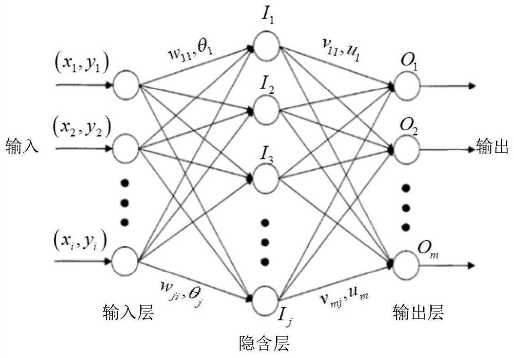
[0128] The remote sensing image obtained in this step is a high-resolution satellite remote sensing image, and the data resolution is meter or submeter. Input the remote sensing images into the designed extraction model, and the risk source patches and corresponding categories can be obtained, which is the spatial distribution map of environmental risk sources.
[0129] Obtaining the distribution of risk sources through remote sensing images can not only i...
Embodiment 2
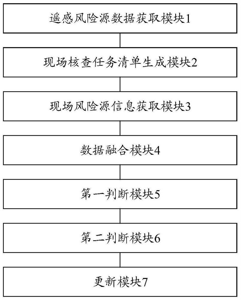
[0209] The embodiment of the present invention provides a device for determining and updating the background list of environmental risk sources of drinking water sources, such as image 3 As shown, the device includes:
[0210] Remote sensing risk source data acquisition module 1 is used to obtain remote sensing images covering drinking water sources and extract the spatial distribution map of environmental risk sources from the remote sensing images. The spatial distribution map of environmental risk sources includes risk source patches and risk source patches category.
[0211] The on-site inspection task list generation module 2 is used to generate an on-site inspection task list for each risk source patch. The on-site inspection task list includes the latitude and longitude information of the center point of each risk source patch, and the space of the outer boundary of each risk source patch. Location information and the category of each risk source plaque.
[0212] The...
PUM
 Abstract
Description
Claims
Application Information
 - R&D
- Intellectual Property
- Life Sciences
- Materials
- Tech Scout
- Unparalleled Data Quality
- Higher Quality Content
- 60% Fewer Hallucinations
Browse by: Latest US Patents, China's latest patents, Technical Efficacy Thesaurus, Application Domain, Technology Topic, Popular Technical Reports.
© 2025 PatSnap. All rights reserved.Legal|Privacy policy|Modern Slavery Act Transparency Statement|Sitemap|About US| Contact US: help@patsnap.com