Seismic data analysis
a seismic data and analysis technology, applied in the field of seismic data analysis, can solve the problems of tedious and time-consuming analysis of large three-dimensional data sets, requiring months of manual analysis, and reducing the variance of the analysis
- Summary
- Abstract
- Description
- Claims
- Application Information
AI Technical Summary
Benefits of technology
Problems solved by technology
Method used
Image
Examples
Embodiment Construction
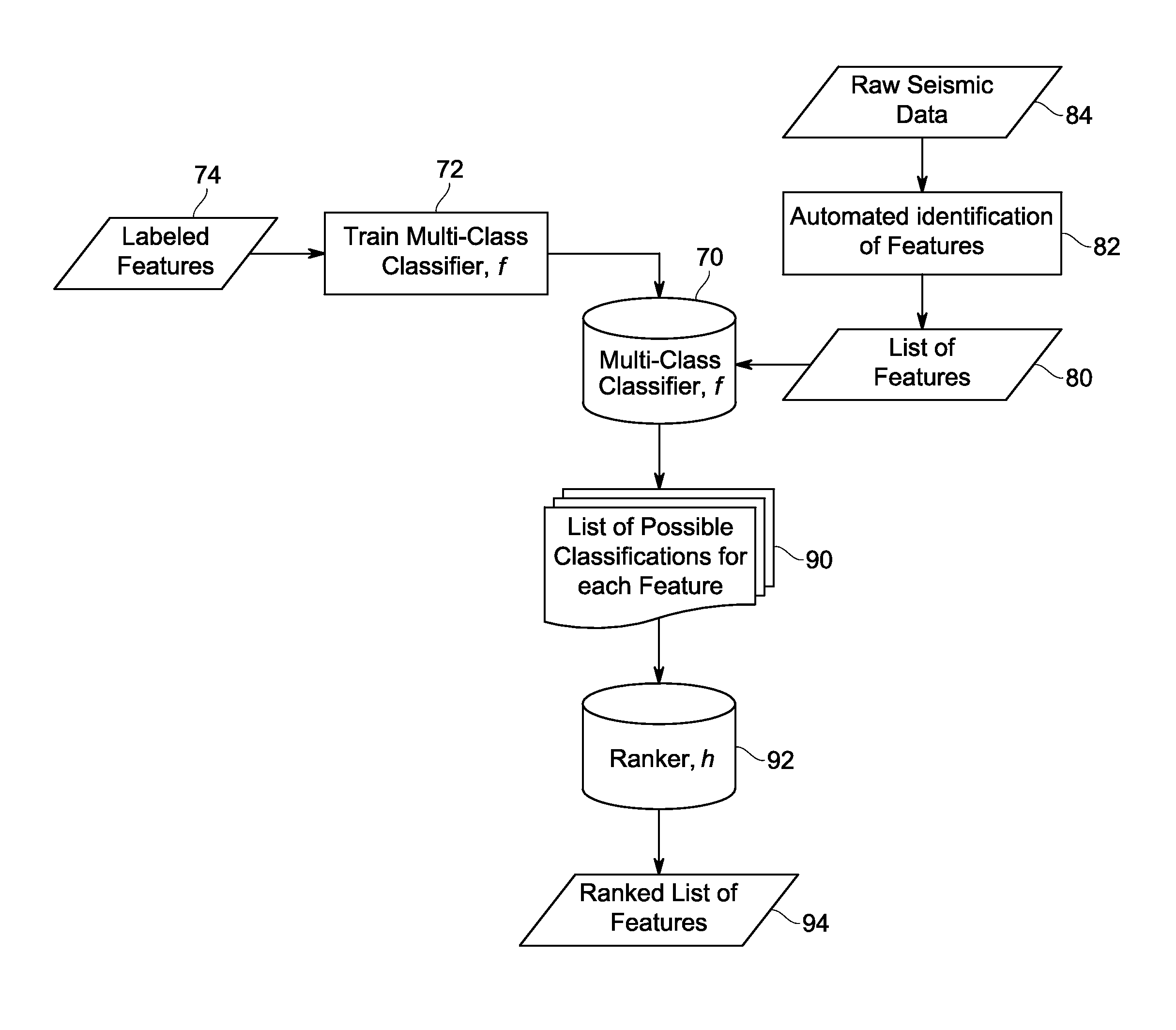
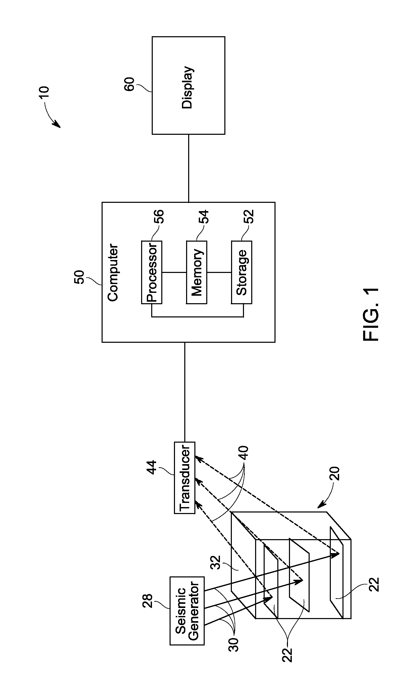
[0015]Seismic data may be analyzed and used to detect subsurface features of interest, such as geological structures or formations that may be indicative of hydrocarbon resources. For example, identification of geobodies (e.g., channels, pinchouts, progrades, gas chimneys, and so forth) from a three-dimensional (3D) seismic survey may be performed as part of prospecting for hydrocarbons (e.g., oil, natural gas, and so forth). As generally used herein, a geobody is a feature of interest contained in the seismic data or some derived (attribute) data set. Such a geobody may take the form, in a volumetric data set, of a set of contiguous, connected, or proximate voxels within the image data that may in turn, based on the characteristics of the identified voxels, correspond to an actual physical or geological feature or structure within the data, such as a geological structure, formation, or feature. Although the present discussion is generally described in the context of seismic data, i...
PUM
 Abstract
Description
Claims
Application Information
 - R&D
- Intellectual Property
- Life Sciences
- Materials
- Tech Scout
- Unparalleled Data Quality
- Higher Quality Content
- 60% Fewer Hallucinations
Browse by: Latest US Patents, China's latest patents, Technical Efficacy Thesaurus, Application Domain, Technology Topic, Popular Technical Reports.
© 2025 PatSnap. All rights reserved.Legal|Privacy policy|Modern Slavery Act Transparency Statement|Sitemap|About US| Contact US: help@patsnap.com


