Canyon-type high-sand-content meandering river remote sensing image extraction method
A technology of remote sensing images and extraction methods, which is applied in the field of remote sensing information, and can solve the problems of less applications, difficult extraction points, and high sediment content in canyon-type curved rivers with high sediment content
- Summary
- Abstract
- Description
- Claims
- Application Information
AI Technical Summary
Problems solved by technology
Method used
Image
Examples
Embodiment
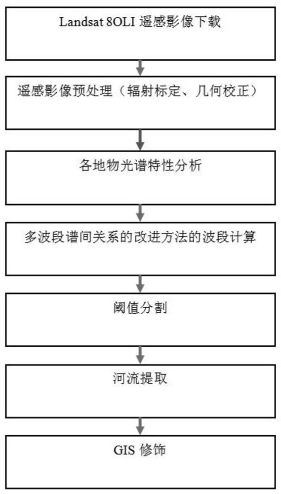
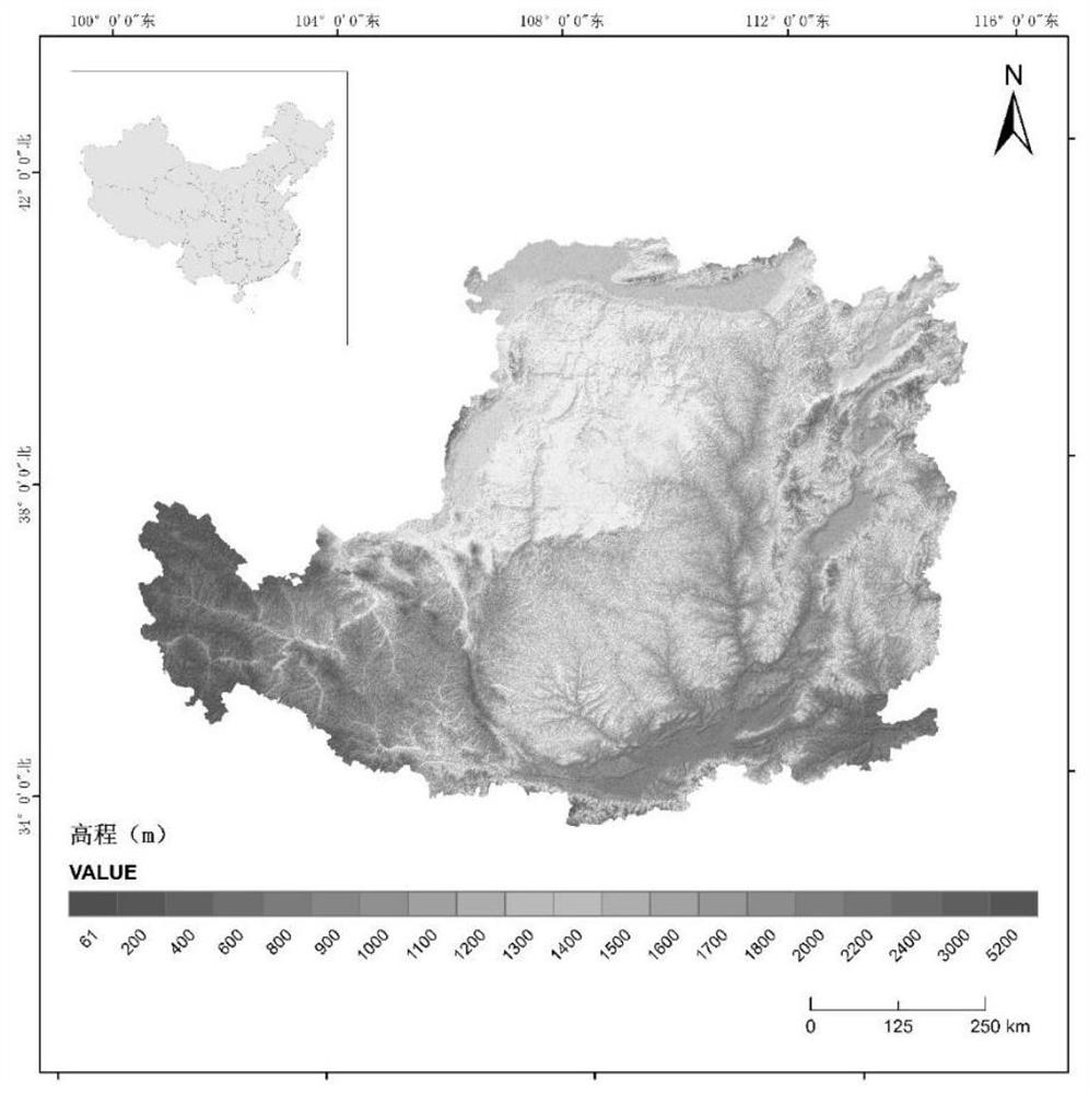
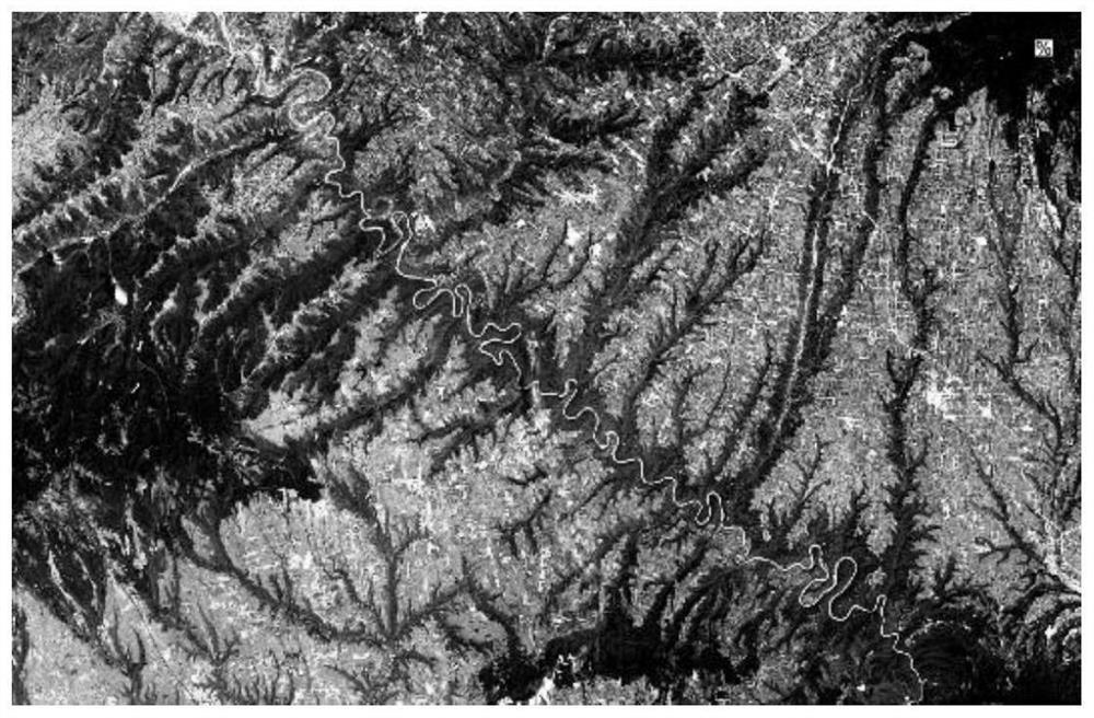
[0044] Rivers in the area covered by the Loess Plateau in the northwestern part of my country and the upper and middle reaches of the Yellow River Basin, such as the Jing River, Wei River, Beiluo River, the main stream of the North Yellow River and its tributaries on the left and right banks, etc., have meandering characteristics and most of them cut deep into valleys, forming canyons Because of the distribution of loess on both sides of the river, the loess soil layer is deep, porous, permeable and air-permeable, and the water and soil loss is serious. The river bank is also continuously eroded during the process of cutting down the river channel, and surface flow processes such as rainfall make sediment enter the river, especially Especially in the flood season, the water body in the river has extremely high sediment content. This kind of high-sand content water body tends to make the spectral values similar to those of the exposed mountains on both sides of the river during ...
PUM
 Abstract
Description
Claims
Application Information
 - R&D
- Intellectual Property
- Life Sciences
- Materials
- Tech Scout
- Unparalleled Data Quality
- Higher Quality Content
- 60% Fewer Hallucinations
Browse by: Latest US Patents, China's latest patents, Technical Efficacy Thesaurus, Application Domain, Technology Topic, Popular Technical Reports.
© 2025 PatSnap. All rights reserved.Legal|Privacy policy|Modern Slavery Act Transparency Statement|Sitemap|About US| Contact US: help@patsnap.com


