
Airport remote sensing image detection method based on learning

A remote sensing image and detection method technology, applied in the field of image processing, can solve the problems of detection failure, poor stability, confusion of other irrelevant targets, etc., and achieve the effect of simple method

Active Publication Date: 2019-08-30
KUNMING UNIV OF SCI & TECH
View PDF10 Cites 2 Cited by
  • Summary
  • Abstract
  • Description
  • Claims
  • Application Information

AI Technical Summary

Problems solved by technology

Because the result of edge detection greatly affects the extraction effect of the straight line, it is easy to be confused with other irrelevant targets, resulting in the failure of detection, so the stability of this method is poor.

Method used


Image

  • Airport remote sensing image detection method based on learning
  • Airport remote sensing image detection method based on learning
  • Airport remote sensing image detection method based on learning

Examples


Embodiment Construction

[0020] In order to enable those skilled in the art to better understand the solutions of the present application, the technical solutions in the embodiments of the present application will be clearly and completely described below in conjunction with the drawings in the embodiments of the present application.

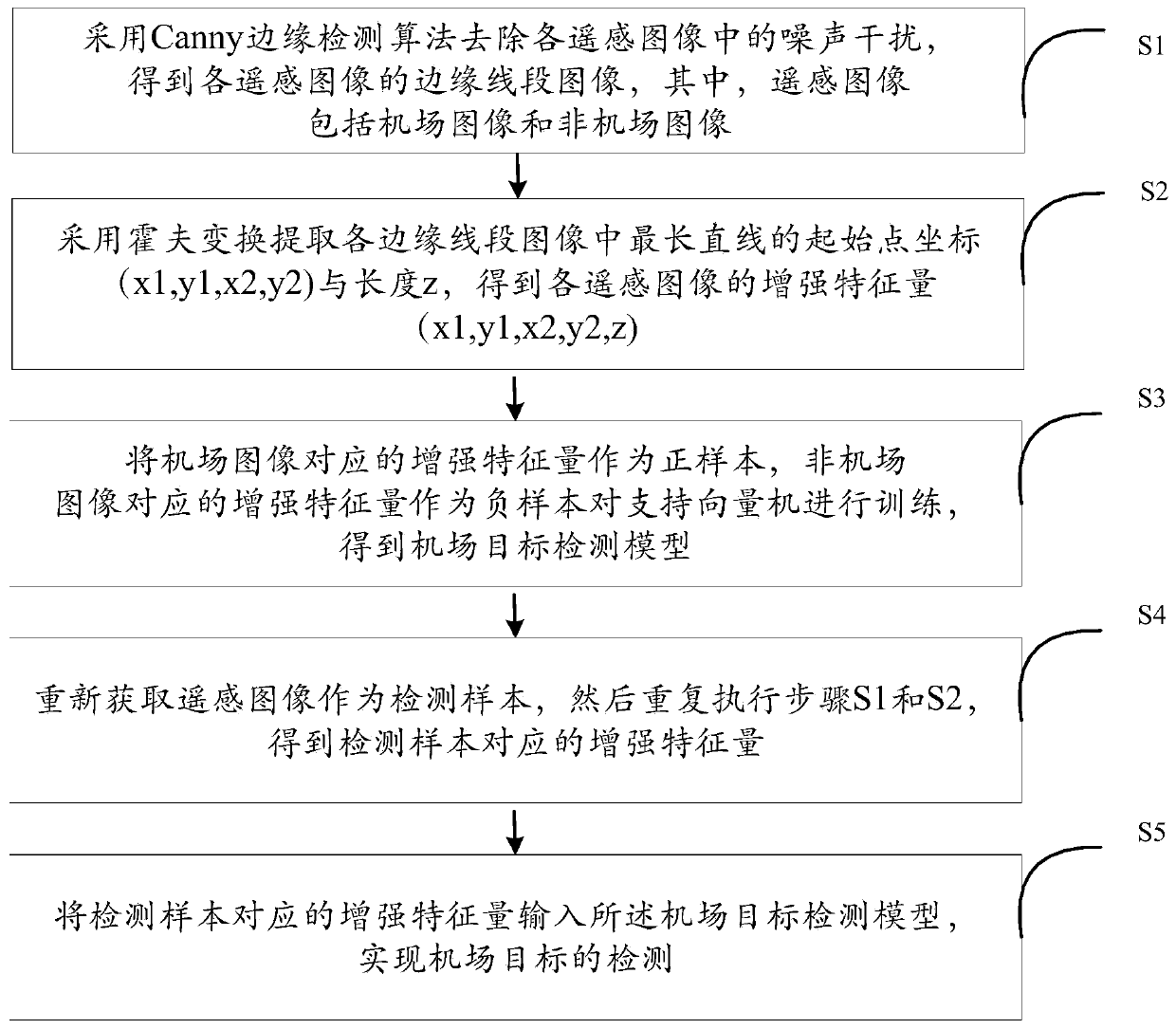
[0021] see figure 1 , which is a flowchart of a learning-based airport remote sensing image detection method provided in this embodiment. A learning-based airport remote sensing image detection method, comprising the following steps:

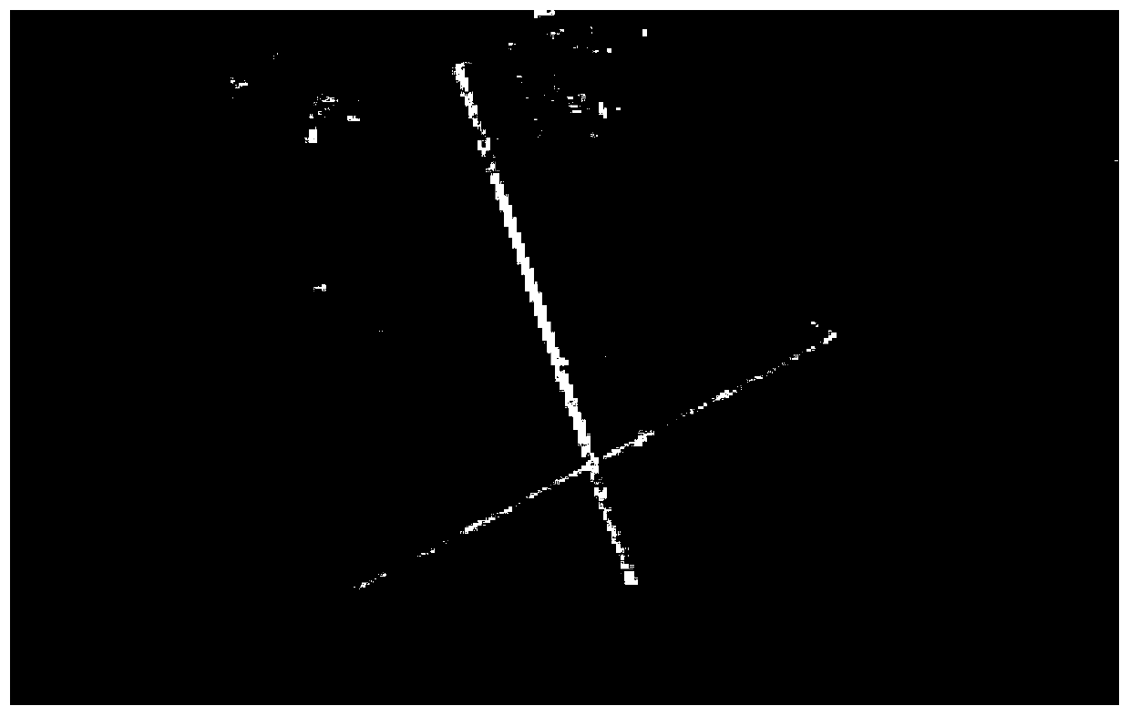
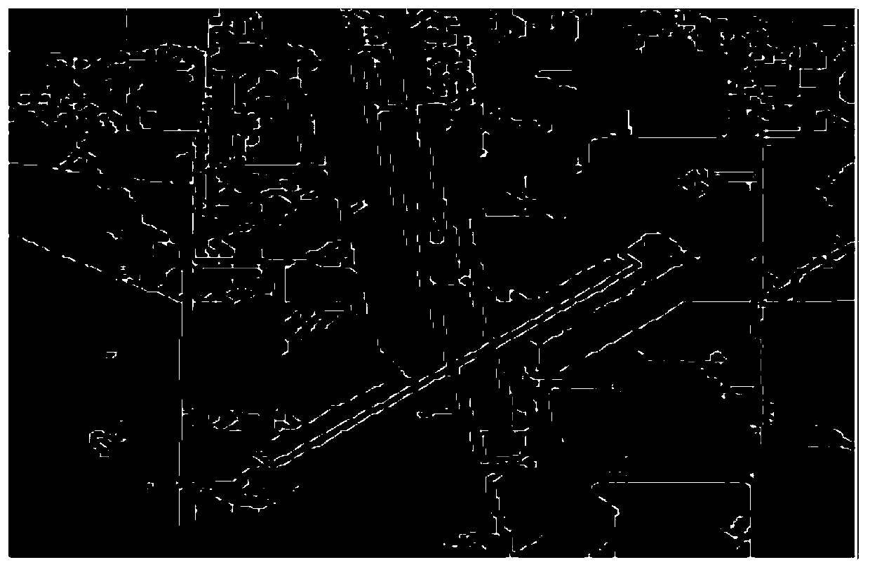
[0022] S1: Use the Canny edge detection algorithm to remove the noise interference in each remote sensing image, and obtain the edge segment image of each remote sensing image, where the remote sensing image includes airport images and non-airport images.

[0023] It should be noted that 700 airport remote sensing images and 30,800 non-airport remote sensing images can be randomly obtained from Google Earth. Among them, the remote sensin...


PUM


Abstract

The invention provides an airport remote sensing image detection method based on learning, and the method comprises the steps: carrying out the Canny edge detection of a remote sensing image, removingthe noise interference in the remote sensing image, and obtaining the specific edge information of the remote sensing image; extracting the initial coordinate value of the longest straight line segment after edge detection of the remote sensing image by using Hough transform, and calculating to obtain the length of the longest straight line; and finally, carrying out learning classification prediction by applying a support vector machine, cascading the coordinate value of the starting point of the longest straight line segment with the longest length value to obtain an enhanced characteristicquantity, and inputting the enhanced characteristic quantity into the support vector machine for full learning. Therefore, the complex remote sensing image classification problem is simplified, a large amount of interference information in airport remote sensing image detection is eliminated, the powerful binary classification capacity of the support vector machine is utilized, parameters do notneed to be modified too much, the method is simple and easy under the same condition, and the 96.5% detection accuracy is achieved.

Description

technical field [0001] The invention belongs to the technical field of image processing, in particular to a learning-based airport remote sensing image detection method. Background technique [0002] Airport detection plays a key role in airport navigation and military target strike. At the same time, the rapid development of remote sensing technology has made it possible to obtain high-quality remote sensing images. The difference between airport remote sensing images and non-airport remote sensing image information will inevitably lead to differences in image features. Because the airport runway usually appears as a strip with straight sides and relatively uniform edges, the length and width have a certain range, and the edge lines are generally parallel; the gray level of the remote sensing image of the airport runway is obvious, and it is also different from the surrounding environment . These characteristics of airport remote sensing images make airport detection pos...

Claims


Application Information

Patent Timeline
Patent Type & Authority Applications(China)
IPC IPC(8): G06K9/00G06K9/46G06K9/40G06K9/62
CPCG06V20/13G06V10/48G06V10/30G06F18/2411
Inventor 杨晶晶张强徐涛金
Owner KUNMING UNIV OF SCI & TECH
Learn More