A Learning-Based Method for Airport Remote Sensing Image Detection
A remote sensing image and detection method technology, which is applied in the field of image processing, can solve the problems of detection failure, affecting the straight line extraction effect, poor stability, etc., and achieve the effect of simple method
- Summary
- Abstract
- Description
- Claims
- Application Information
AI Technical Summary
Problems solved by technology
Method used
Image
Examples
Embodiment Construction
[0020] In order to make those skilled in the art better understand the solutions of the present application, the following will clearly and completely describe the technical solutions in the embodiments of the present application with reference to the accompanying drawings in the embodiments of the present application.
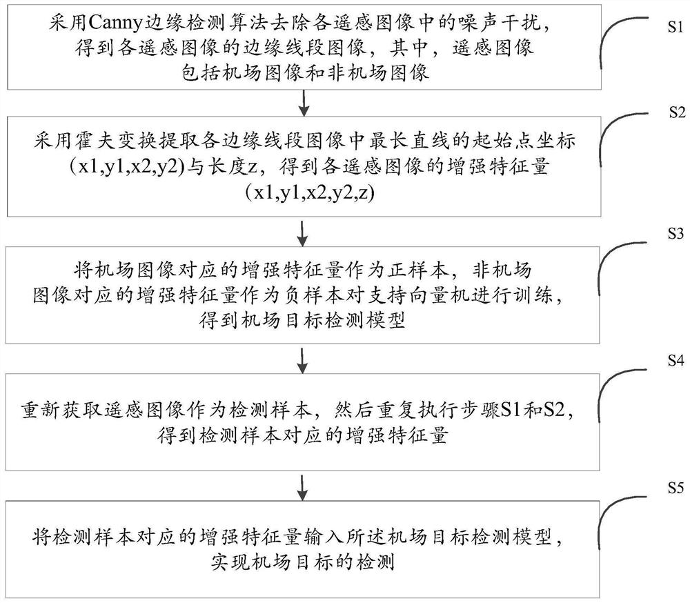
[0021] see figure 1 , which is a flowchart of a learning-based airport remote sensing image detection method provided in this embodiment. A learning-based airport remote sensing image detection method, comprising the following steps:
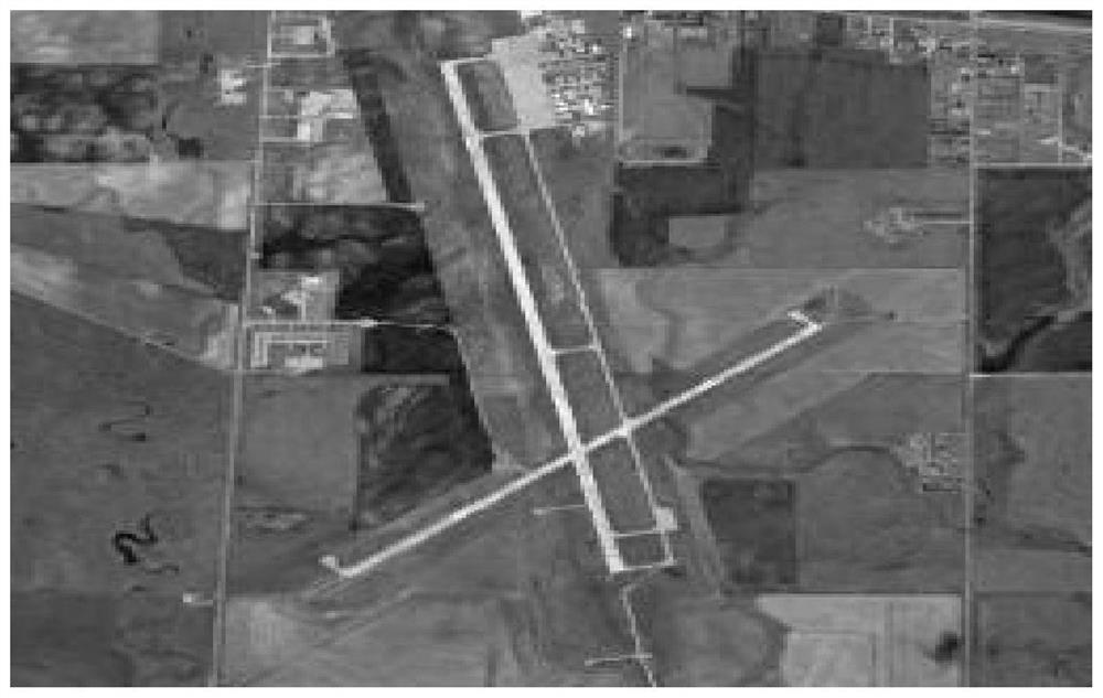
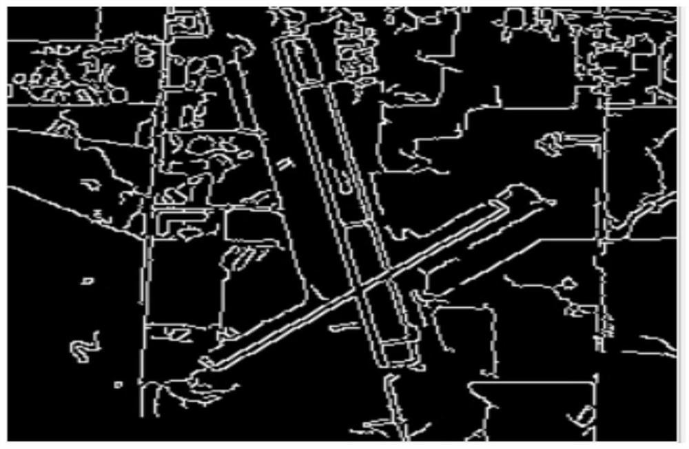
[0022] S1: Use the Canny edge detection algorithm to remove the noise interference in each remote sensing image, and obtain the edge line segment image of each remote sensing image, wherein the remote sensing image includes airport images and non-airport images.
[0023] It should be noted that 700 airport remote sensing images and 30,800 non-airport remote sensing images can be randomly obtained from Google Earth. Among them, ...
PUM
 Abstract
Description
Claims
Application Information
 - Generate Ideas
- Intellectual Property
- Life Sciences
- Materials
- Tech Scout
- Unparalleled Data Quality
- Higher Quality Content
- 60% Fewer Hallucinations
Browse by: Latest US Patents, China's latest patents, Technical Efficacy Thesaurus, Application Domain, Technology Topic, Popular Technical Reports.
© 2025 PatSnap. All rights reserved.Legal|Privacy policy|Modern Slavery Act Transparency Statement|Sitemap|About US| Contact US: help@patsnap.com


