
Urban traffic path transit time determination method based on state features

A technology of urban traffic and state characteristics, applied in the field of traffic, can solve the problem of low accuracy

Active Publication Date: 2019-01-08
NORTHEAST FORESTRY UNIVERSITY
View PDF6 Cites 15 Cited by
  • Summary
  • Abstract
  • Description
  • Claims
  • Application Information

AI Technical Summary

Problems solved by technology

[0005] The present invention solves the problem of low accuracy in existing road section travel time determination methods

Method used

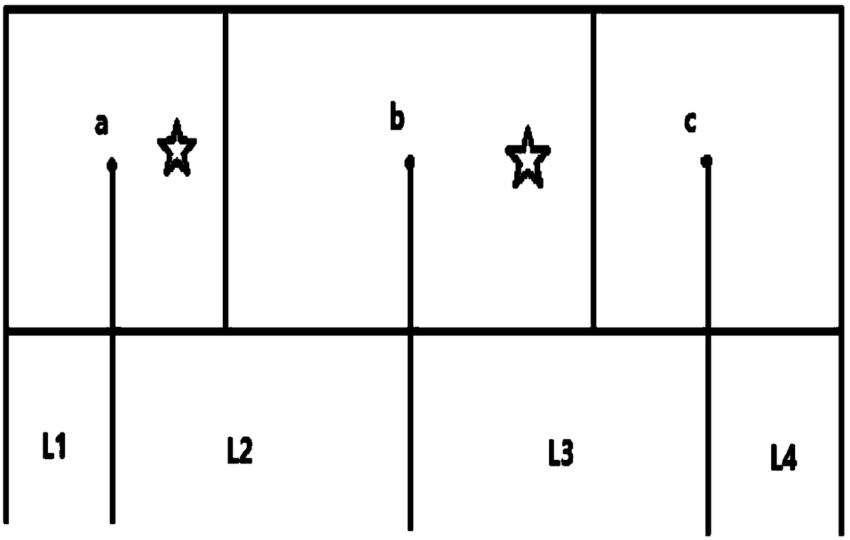
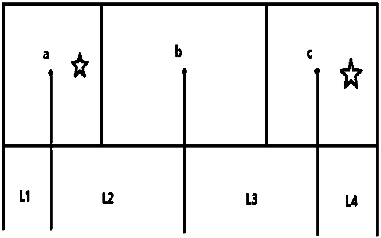
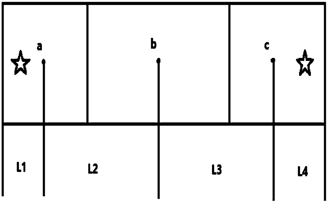

Image

  • Urban traffic path transit time determination method based on state features
  • Urban traffic path transit time determination method based on state features
  • Urban traffic path transit time determination method based on state features

Examples


specific Embodiment approach 1

[0079] A method for determining the passing time of urban traffic routes based on state characteristics, including the following steps:

[0080] Step 1, collecting GPS track data of the vehicle, screening and cleaning the repeated and unstable data in the data set; the GPS track data includes latitude and longitude data, time data and passenger status data corresponding to the vehicle;

[0081] Step 2, for each vehicle, calculate the distance and mean speed on the Cartesian coordinate system between adjacent trajectory points;

[0082] Compute the Cartesian distance between adjacent trajectory points:

[0083] Convert the latitude and longitude data of the track points in the dataset to Cartesian coordinate system data, and set the processed track point data as a matrix:

[0084] P=[p 0 p 1 …p Δ …p n′ ] T

[0085] p Δ =(num Δ ,x Δ ,y Δ , T Δ ,c Δ )

[0086] Among them, p Δ Indicates the data corresponding to the track point, Δ indicates the serial number of t...

Embodiment

[0160] What used in the step one of present embodiment is the data of 14,000 taxis in Chengdu, nearly 1.4 billion GPS track data, including taxi ID, longitude, latitude, passenger status (0 represents no passenger, 1 means carrying passengers), several parameters of time. Clean out duplicate and abnormal records, and ignore the data in the time window from 00:00:00 to 05:59:59. In the present invention, in order to be more conducive to the carrying out of the experiment, the following sampling rules are defined:

[0161] (1) Do not select road sections containing abnormal vehicle speeds (such as extremely high or abrupt speeds).

[0162] (2) At the beginning and end of the experimental road section, it is guaranteed that there will be no vehicle stop time.

[0163] Make a basic definition of the experimental data: Assume that the length of the vehicle has no effect on the calculation of the vehicle speed, the vehicle is traveling in the same direction, regardless of turning,...


PUM


Abstract

The invention relates to an urban traffic path transit time determination method based on state features and relates to the technical field of traffic. In order to solve the problem that the existingroad segment travel time determination method has low accuracy, the urban traffic path transit time determination method based on state features in the present invention calculates the distance and the mean value speed on a rectangular coordinate system between adjacent track points based on collection of GPS track data of a vehicle; then, in combination with the vehicle passenger carrying situations and the driving speed, an appropriate convolution template is adjusted and arranged and a dual-parameter convolution theoretical speed model is established; the road segment in a data set is divided into different sub-road segments, the transit time T' of the vehicle at different starting points and endpoints is predicted; meanwhile, an average value (formula) of the sum of the driving time ofall the vehicles having the same road segment where the starting point is located and having the same road segment where the endpoint is located is calculated, and the transit time of each vehicle iscorrected according to a correction factor (formula); the corrected vehicle transit time T'(xiu) is used as the transit time determination result of the urban traffic path. The urban traffic path transit time determination method based on state features is suitable for determination of the traffic path transit time.

Description

technical field [0001] The invention relates to the technical field of traffic, in particular to a method for determining the passage time of a traffic route. Background technique [0002] With the rapid development of my country's overall road transportation and the rapid growth of motor vehicles, traffic congestion has become a major "persistent disease". How to alleviate the problem of traffic congestion is imminent. [0003] In the current traffic, people cannot grasp the actual situation of the travel section, and cannot reasonably choose the travel mode and arrange the travel time, which leads to the expansion of the flow density of people and vehicles in a certain period of time, which is a major cause of traffic congestion. To solve the problem of congestion , first of all, the active population and traffic flow must be effectively dealt with. Estimating the passing time in the itinerary before travel is convenient for people to plan travel routes more reasonably, a...

Claims


Application Information

Patent Timeline
Patent Type & Authority Applications(China)
IPC IPC(8): G08G1/01G06Q10/04G06Q50/26
CPCG06Q10/04G06Q50/26G08G1/0133
Inventor 刘美玲金楠森谷欣然韩雨彤王东
Owner NORTHEAST FORESTRY UNIVERSITY
Learn More