
A method and system for clustering based on spatial information of residential area context

A technology of spatial information and clustering methods, which is applied in the field of clustering methods and systems based on residential context spatial information, can solve problems such as inability to obtain clustering effects, and achieve good clustering effects

Active Publication Date: 2018-12-28
CHINA UNIV OF GEOSCIENCES (WUHAN)
View PDF5 Cites 2 Cited by
  • Summary
  • Abstract
  • Description
  • Claims
  • Application Information

AI Technical Summary

Problems solved by technology

[0003] The technical problem to be solved by the present invention is to provide a method based on residential context spatial information for the technical defect that a better clustering effect cannot be obtained when the clustering algorithm in the prior art is applied to cluster spatial information of residential areas. Clustering method and system for

Method used


Image

  • A method and system for clustering based on spatial information of residential area context
  • A method and system for clustering based on spatial information of residential area context
  • A method and system for clustering based on spatial information of residential area context

Examples


Embodiment Construction

[0044] In order to have a clearer understanding of the technical features, objects and effects of the present invention, the specific embodiments of the present invention will now be described in detail with reference to the accompanying drawings.

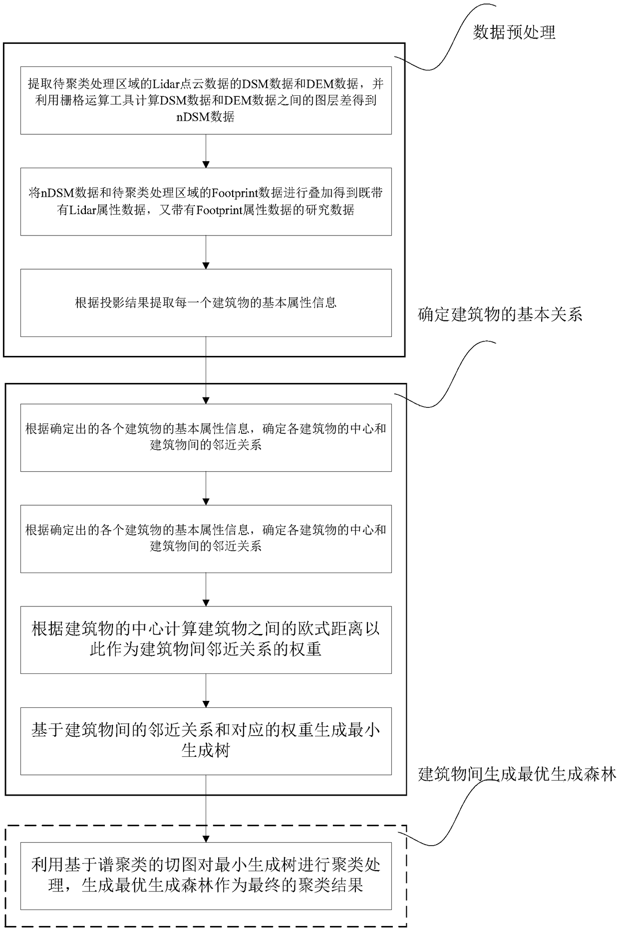
[0045] refer to figure 1 , the clustering method based on the contextual spatial information of the residential area of ​​the present invention comprises the following steps:

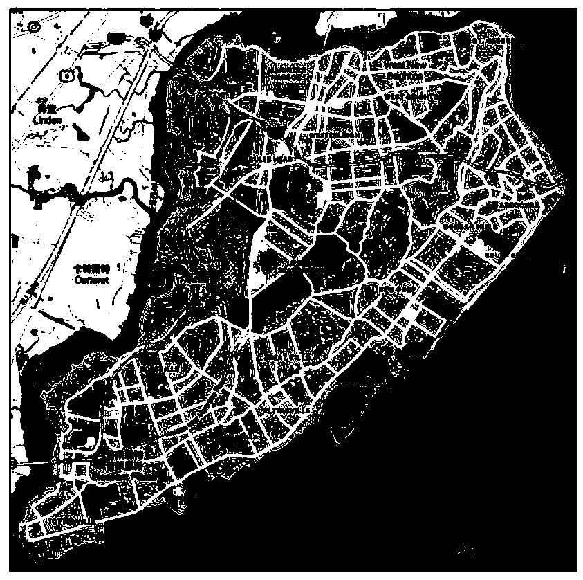
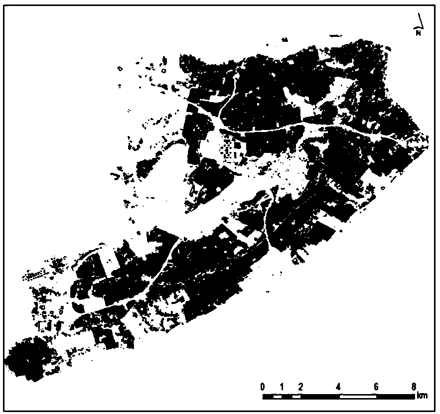
[0046](1) Data preprocessing: with reference to Fig. 2, the present embodiment takes the data of the Staten Island area as the research object, introduces the elevation data of the building, and extracts the DSM (Digital Surface Model) of the Lidar point cloud data of the area to be clustered. ) data and DEM (Digital Elevation Model) data and use the raster operation tool to calculate the difference between the two layers to obtain nDSM (Normalized Digital Elevation Model) data, and overlay the nDSM and Footprint data to obtain data with both Lidar attribute...


PUM


Abstract

The invention provides a clustering method and a clustering system based on residential area context space information, Detailed and accurate information on urban architectural patterns is important for urban design, landscape evaluation, Social analysis and urban environmental research are essential, in order to realize the clustering analysis of residential polygon, the invention provides a simple and novel method, a synthesize data with generated data attribute with Lidar point cloud and Footprint data attributes is obtained by data fusion. The data are used to determine the neighboring relationship between buildings and the weights of adjacent buildings, and the best forest is obtained as the clustering result by the method of cutting graph theory in the spectral clustering based on the minimum spanning tree. The clustering result obtained by the clustering method of the invention is more objective and reliable.

Description

technical field [0001] The present invention relates to the field of clustering algorithms for geographic information, and more particularly, to a clustering method and system based on the contextual spatial information of residential areas. Background technique [0002] In the geographic information system, what cluster analysis does is the process of dividing a large data set into n subsets, determining the subset described by the object according to the distance of the object, and ensuring the high similarity of the data objects in the same subset. Other subsets have low similarity. There have been many years of research experience in cluster analysis at home and abroad. The research content mainly covers the following aspects of clustering algorithms: based on division, hierarchical, density, grid and model-based algorithms, many Existing cluster analysis algorithms all have the problem that it is difficult to determine the clusters, or although the clusters can be dete...

Claims


Application Information

Patent Timeline
IPC IPC(8): G06K9/62G06F17/30
CPCG06F18/23
Inventor 陈占龙谢忠吴亮杨春成张长城马啸川周路林谭雪颖
Owner CHINA UNIV OF GEOSCIENCES (WUHAN)
Learn More