Method and system for measuring area of rural homestead land
A measurement method and homestead technology, which is applied in the field of rural land homestead area measurement method and system, can solve problems such as inaccurate measurement accuracy, long time spent, non-compliance, etc., to improve accuracy, prevent data loss, duplication Highly usable effect
- Summary
- Abstract
- Description
- Claims
- Application Information
AI Technical Summary
Problems solved by technology
Method used
Image
Examples
Embodiment
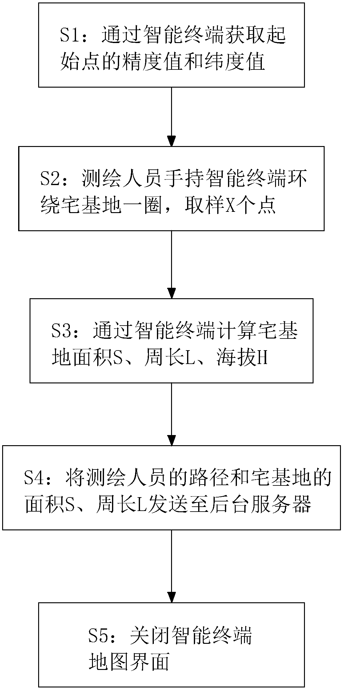
[0044] Embodiment: a kind of rural land homestead area measurement method, as shown in Figure X, concrete steps are as follows:
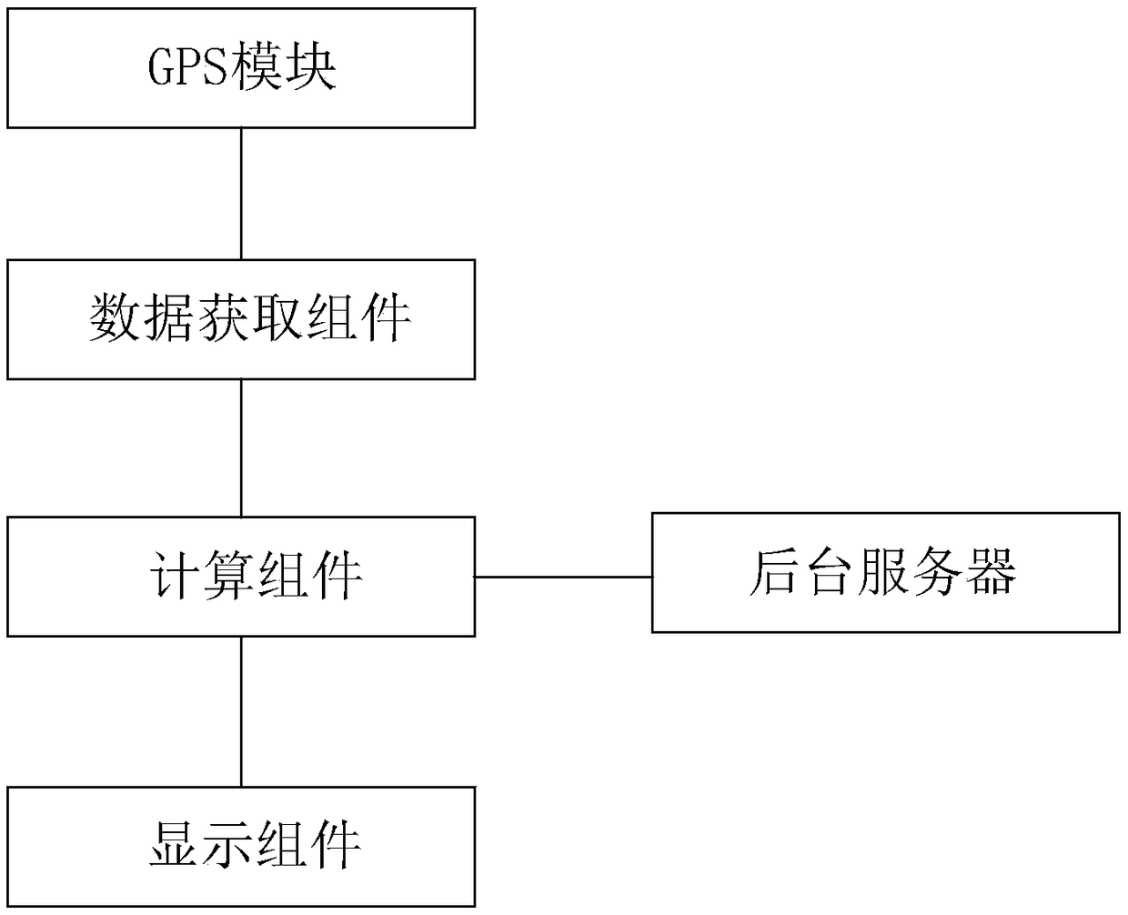
[0045] S1: The surveyor holds the smart terminal at the starting point where the homestead area is to be measured, and obtains the longitude and latitude values of the starting point from the GPS module of the smart terminal. In this embodiment, the smart terminal can be a smart device such as a tablet computer, a PDA, or a smart phone, which is convenient for surveyors to use during measurement, and is simple and convenient.
[0046] S2: Surveyors and mappers start from the starting point with a smart terminal and go around the homestead area to be measured and return to the starting point, sample x points, and obtain the longitude and latitude n of points m and m+1 from the smart terminal m , n m+1 , where m is an integer from 1 to x-1.
[0047] S3: Calculate the area S of the homestead, first calculate the area S of the triangle surrounded by...
PUM
 Abstract
Description
Claims
Application Information
 - R&D
- Intellectual Property
- Life Sciences
- Materials
- Tech Scout
- Unparalleled Data Quality
- Higher Quality Content
- 60% Fewer Hallucinations
Browse by: Latest US Patents, China's latest patents, Technical Efficacy Thesaurus, Application Domain, Technology Topic, Popular Technical Reports.
© 2025 PatSnap. All rights reserved.Legal|Privacy policy|Modern Slavery Act Transparency Statement|Sitemap|About US| Contact US: help@patsnap.com


