
Parking information collection system and method

Inactive Publication Date: 2011-11-22
SELFIEPARKING INC
View PDF9 Cites 164 Cited by
  • Summary
  • Abstract
  • Description
  • Claims
  • Application Information

AI Technical Summary

Benefits of technology

[0016]The disclosed integrated parking information collection and provision system (the “parking spot information system” or the “System”) can provide parking data to consumers, for example through internet based, GPS based, mobile device based, and integrated in-car based platforms. In addition, the disclosed parking spot information system partners in mapping can also integrate the disclosed parking spot information system data into existing mobile applications. The disclosed parking spot information system can be deployed in commercial application embodiments to provide a parking solution in conjunction with existing fleet management solutions to reduce the cost of parking tickets borne by commercial vehicle and fleet operators such as delivery and maintenance companies. The disclosed parking spot information system can offer integration into web services providing online mapping. In addition, the disclosed parking spot information system can provide web services for GPS manufacturers, including providing the same information as for web services for online mapping.
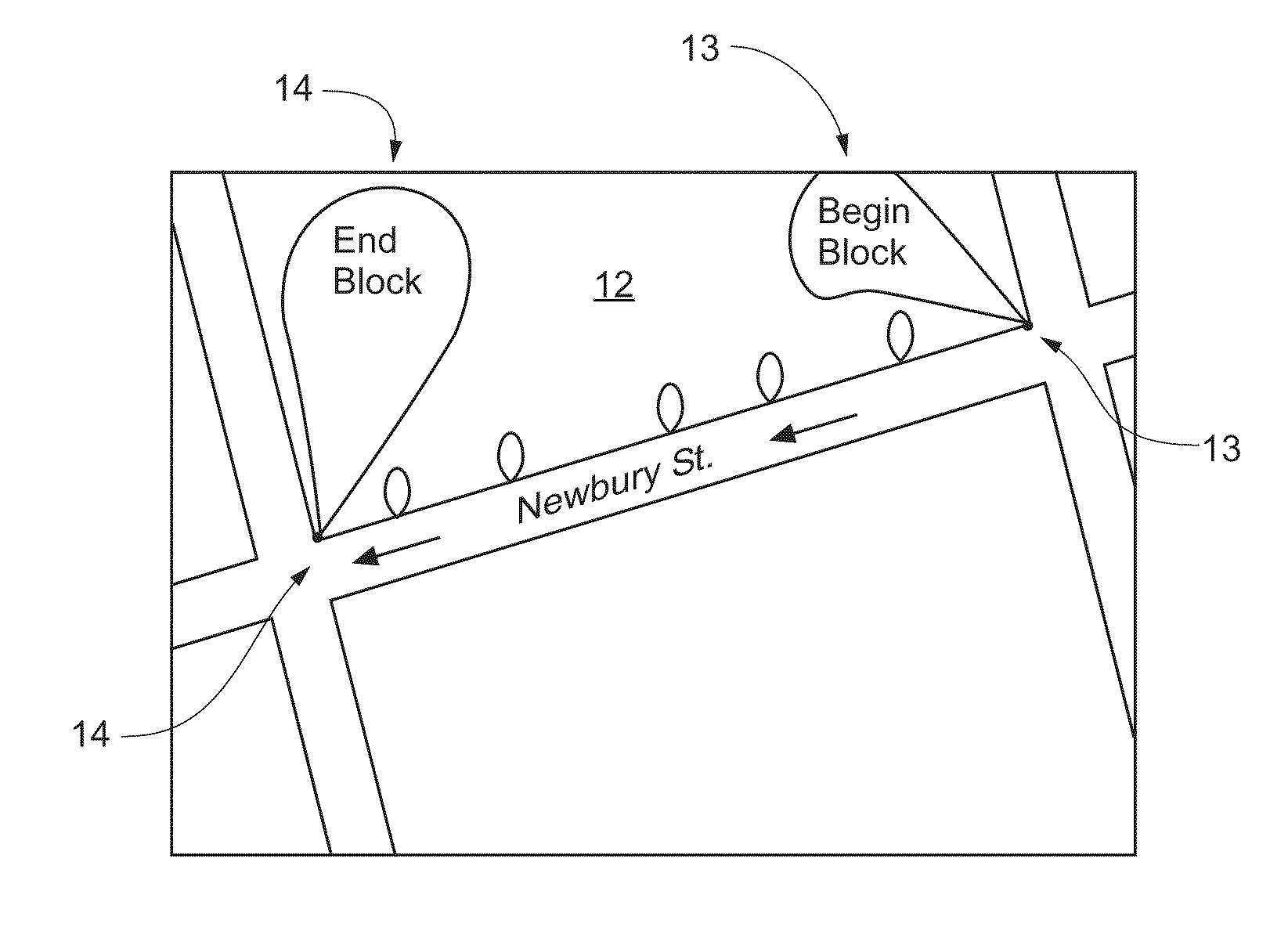
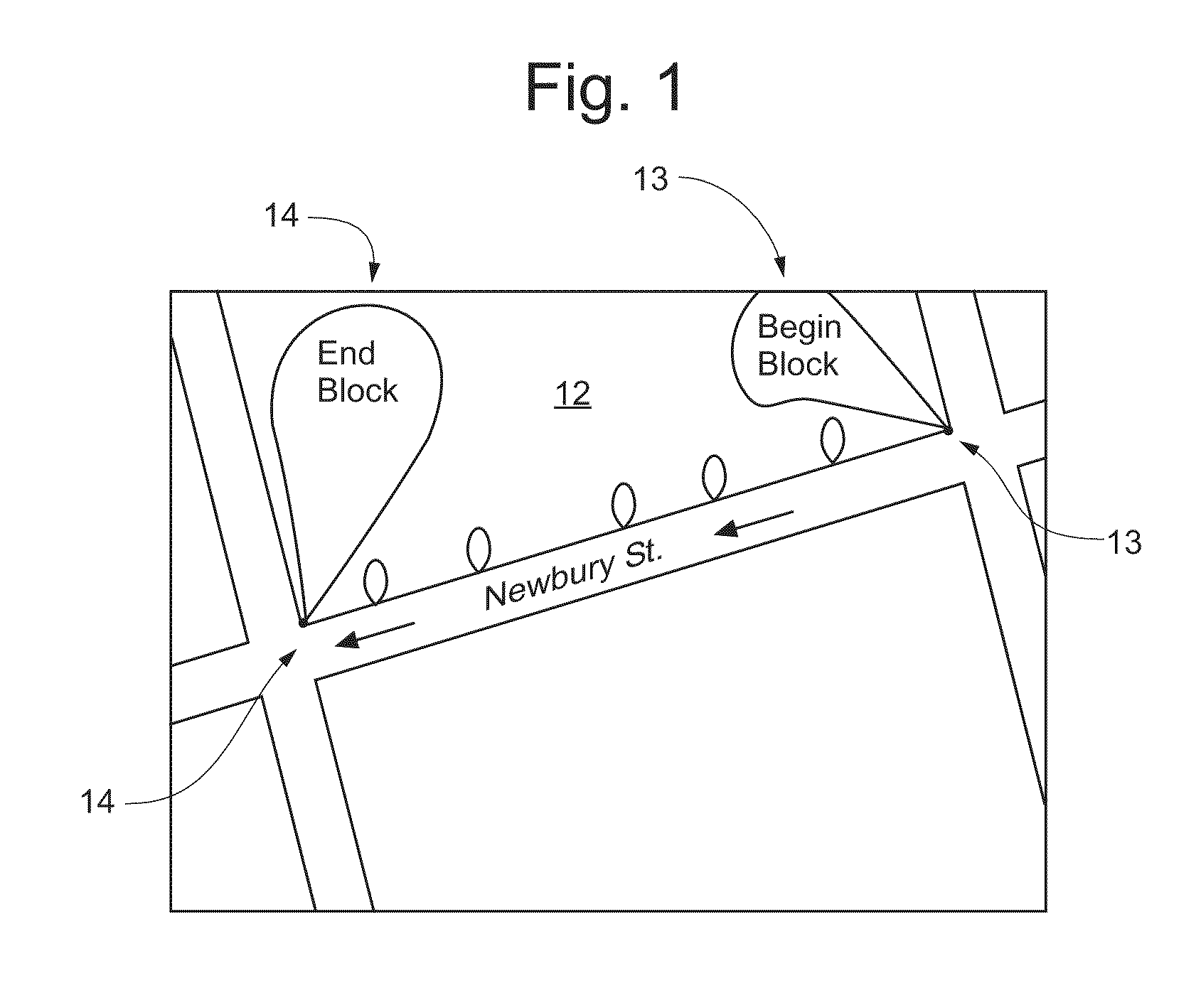
[0026]The disclosed parking spot information system collection subsystem can further include a data collection application for installation on a mobile personal digital assistant or smartphone. The collection application can be downloadable from the Internet or equipped as standard on a device. The collection application can process photos collected with the device upon which it is installed or another device, in order to extract the relevant data therefrom, such by means of object recognition capability, for example to identify the existence of relevant parking elements within the photo, such as fire hydrants and parking signs. The collection application can prompt the user to confirm the identified contents for accuracy. The collection application can identify the location of the identified elements on a map, such as by means of the GPS capability of the mobile device and a map as is accessible through the Internet. The collection application can mark the location of the identified elements on the map and suggest to the user the determined location of the elements, and prompt the user to confirm the location of the identified elements.
[0028]Embodiments of the disclosed parking spot information system can include an integrated parking information system integrated into a vehicle, such as integrated into a vehicle's onboard GPS system, navigation system, trip computer system, engine management system, and / or active handling, antilock brake, automatic stability control, communication system, telemetric, or other electronic system. Such embodiments can interface directly with a central database for the provision of parking information to the operator of the vehicle and integration into the vehicle's existing navigation and location capabilities, for example to locate and identify appropriate parking opportunities for a desired destination entered into a vehicle navigation system. Such embodiments can further prompt the operator to specify the expected length of stay for a parking situation in order to select the appropriate parking spot. Such an embodiment can use vehicle information such as vehicle's wheel speed sensor and gear selection information as well as GPS location system information to indicate the location and status of the vehicle, and upload such information to the central parking database, such as information about when a vehicle occupies or vacates a parking spot.
[0040]Accordingly, one embodiment of the present invention is a parking information collection system. This system comprises one or more memories for storing program code, one or more communication links to a parking information database, and one or more processors, operatively connected to the one or more memories, for executing the stored program code. When the stored program code is executed, it causes the system to perform a process comprising the steps of receiving a first offset geocoded parking datum from a first image collection subsystem operated by a first data collector, storing said first offset geocoded parking datum in a parking information database, receiving a second offset geocoded parking datum from a second image collection subsystem operated by a second data collector located remotely from the first data collector, storing said second offset geocoded parking datum in said parking information database, and processing the first and second offset geocoded parking data to interpret parking information to be provided to the parking assistance system. The first offset geocoded parking datum is specified to a geolocation more accurate than a geolocation accuracy of said first image collection subsystem. The second offset geocoded parking datum is specified to a geolocation more accurate than a geolocation accuracy of said second image collection subsystem.
[0047]Accordingly, one embodiment of the present invention is an automatic data collection system adapted to be connected to a mechanical means for physically moving on a street, comprising a locating means for capturing a current offset geocode in relation to said mechanical means, one or more image collection subsystems physically connected to said mechanical means, one or more memories for storing program code, and one or more processors, operatively connected to the one or more image collection subsystems, operatively connected to said locating means, and operatively connected to the one or more memories, for executing the stored program code. When the stored program code is executed, it causes the system to perform a process comprising the steps of receiving an affirmative command to collect parking information, and in response to said command, instructing one or more of said image collection subsystems to capture an image, and also in response to said command, instructing said locating means to capture the current offset geocode of said mechanical means. The offset geocode is specified to a geolocation more accurate than a geolocation accuracy of said locating means.

Problems solved by technology

Parking tickets are a major problem and expense for private and commercial vehicle operators worldwide.
Parking rules are unclear, opaque, ambiguous, inconsistent and confusing, leaving operators in the dark as to their compliance with applicable parking rules.
Significant time and money is lost driving around trying to find the best parking option.
Significant fuel is consumed in merely trying to locate a parking spot.
This excess traffic attributable to locating a parking spot translates into excess fuel consumption, wasted time, traffic congestion, and emissions pollution.
Circling streets around a destination in search of nearby parking wastes precious time and creates frustration.
The frustration is even greater when returning to a parking space to discover that a car has been towed because of a violation such as the street cleaning schedule.
Finally, ambiguous or missing signage leads many drivers to simply pay parking tickets even when they were, in fact, legally parked.
Commercial drivers also experience difficulties with parking.
Delivery services, cleaning companies, contractors and other local businesses often view parking tickets as just a cost of business.
There are several providers that provide auctions for parking spots (which is difficult due to the short time constraints of finding parking).
Existing efforts at addressing the problem of parking spot information fall short in several aspects.
Collecting and maintaining current parking sign data on a global scale has not successfully been accomplished.
This is because cities do not actually possess the parking sign data in enough detail regarding location of parking meters, valet parking signs, loading zones, etc.
This is because there exists no accurate, central repository of parking rule information for each street and city.
For the most part, cities do not possess or maintain this information in any reliable way, and assembling such a database based on an intentional planned methodology—in other words, keeping track of each sign placed and where and when it was emplaced—is simply impractical, especially in an enormous municipality where construction, vandalism, weather storms, accidents, etc., make any such effort a rapidly moving target.
Additionally, there simply exists no central database of available parking spots.
None provide comprehensive information and advice about street parking in combination with recommendations on the optimal parking options.
Existing online parking information systems fall short because their data is limited, stale, and does not account for dynamic changes in available parking spots, nor catalog the parking rules, nor provide location based parking rule information in real time, among other shortcomings.
Further, all existing parking information technologies provide data that is stale, old, and frequently out-of-date.
Such solutions do not provide a means for continuously updating and refreshing parking data according to a useful and effective frequency, i.e., continuously.
Existing parking spot information solutions are limited geographically due to collection methodology.
Further, there is no commercial user solution.
There is no product or service that provides a comprehensive parking spot solution.

Method used


Image

  • Parking information collection system and method
  • Parking information collection system and method
  • Parking information collection system and method

Examples


Embodiment Construction

[0067]The disclosed parking spot information system uses artificial intelligence to provide parking solutions. A person walking or driving down a city block observes the relevant cues and patterns regarding a parking situation differently than a typical machine based system. The disclosed parking spot information system takes inspiration from the way a human observer relates to his or her environment in order to determine and provide parking information in a manner that is useful to a typical driver looking for a parking spot. In some embodiments, the disclosed parking spot information system can utilize artificial intelligence pattern matching algorithm to provide useful parking information to subscribers.

[0068]A simple example regarding street cleaning signs will serve as illustration: Person observes pattern and determines rule—street cleaning signs are posted every 100 feet along the length of a block. Street cleaning signs repeat the identical information over and over in a “se...


PUM


Abstract

An integrated parking information system is disclosed. The system includes a collection system and a means for collection of parking data, and an information provision system and a method for the provision of parking information, for instance, enabling a driver to know exactly which city parking rules and fines apply for any given street parking space, as well as other associated information. The system can notify members about available parking spots through a GPS application that is integrated with phones & in dash navigation systems. The system can provide alerts to protect members against parking violations.

Description

REFERENCE TO RELATED APPLICATIONS[0001]The present application claims priority from provisional application U.S. Ser. No. 61 / 369,675, entitled “Integrated parking information collection and provision system and method of using the same,” filed on Jul. 31, 2010, the entirety of which is hereby incorporated by reference herein.FIELD OF THE INVENTION[0002]The present invention is in the field of road vehicle parking spot information systems. More particularly, the present invention is in the field of systems for marking, locating, characterizing, data basing and distributing information regarding suitable parking spots for road vehicles and methods of using the same. Additionally, the present invention is in the field of information services for online mapping companies and global positioning system (GPS) manufacturers, smartphone and mobile device manufacturers, data plan and wireless service providers, application creators and developers, and mobile operating system developers and di...

Claims


Application Information

Patent Timeline
IPC IPC(8): B60Q1/48G08G1/14
CPCG06K9/00791G08G1/0112G08G1/0129G08G1/0141G08G1/04G06K9/00818G08G1/144G08G1/146G08G1/147G08G1/207G08G1/143G06V20/56G06V20/582
Inventor SONNABEND, ERICLANDMAN, MARC
Owner SELFIEPARKING INC
Learn More