A method and system for issuing GIS-based dynamic traffic information

A traffic information and dynamic technology, applied in the transmission system, special data processing applications, instruments, etc., can solve the problems of large system resource occupation, slow network transmission rate, and heavy server load, so as to improve the efficiency of publishing and reduce the transmission load , Guaranteed real-time effect

Inactive Publication Date: 2007-05-30
BEIHANG UNIV
View PDF0 Cites 4 Cited by
  • Summary
  • Abstract
  • Description
  • Claims
  • Application Information

AI Technical Summary

Problems solved by technology

[0012] The technical problem to be solved by the present invention is to provide a GIS-based dynamic traffic information release method to solve the problems of large server load, large system resource occupation, and slow network transmission rate under the existing technical conditions.

Method used


Image

  • A method and system for issuing GIS-based dynamic traffic information
  • A method and system for issuing GIS-based dynamic traffic information
  • A method and system for issuing GIS-based dynamic traffic information

Examples


Embodiment Construction

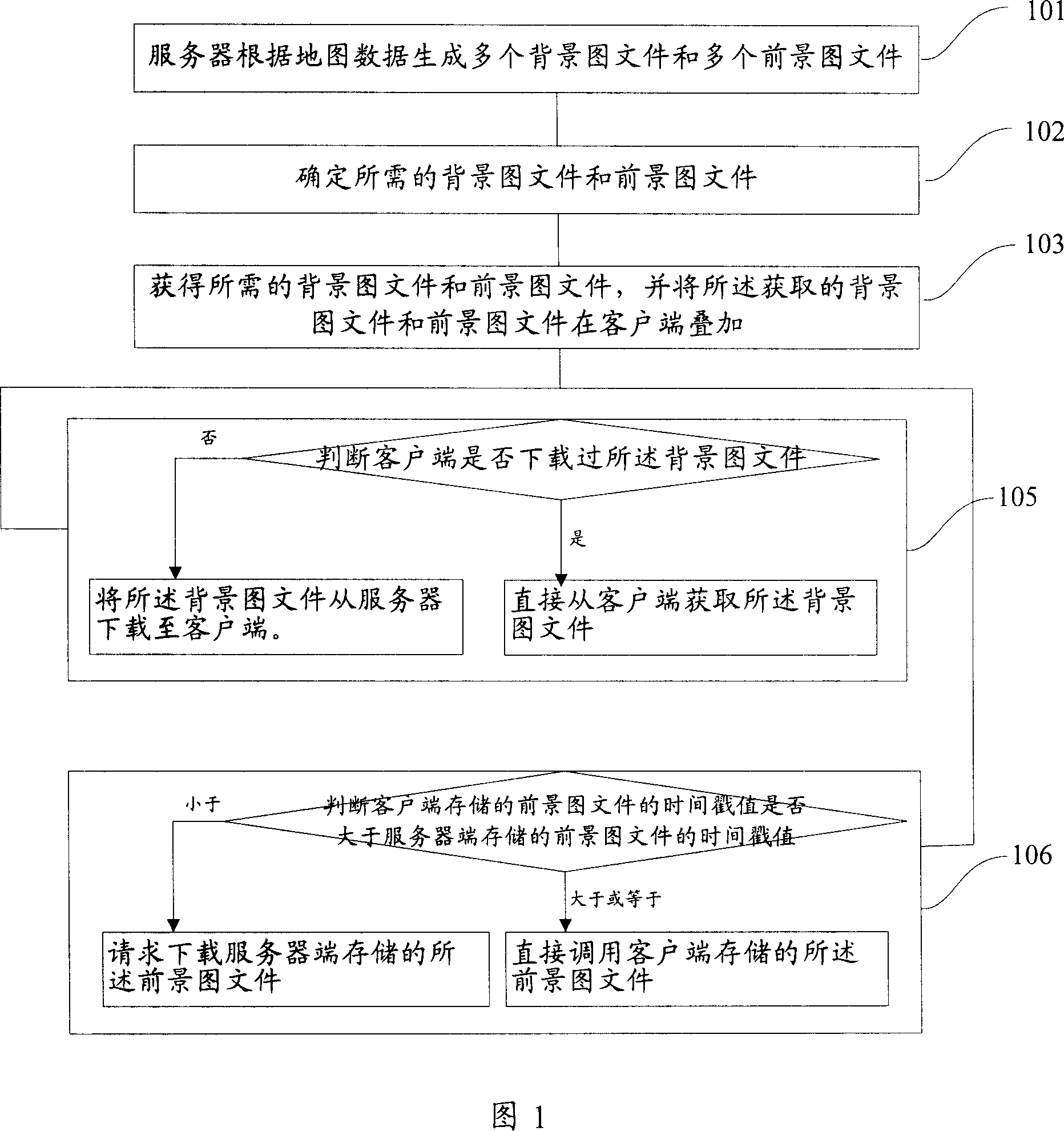
[0084] With reference to Fig. 1, be the flow chart of a kind of GIS-based dynamic traffic information release method of the present invention, comprise the following steps:

[0085] Step 101, the server generates multiple background image files and multiple foreground image files according to the map data;

[0086] Step 102, determine the required background image file and foreground image file;

[0087] Step 103, obtain the required background image file and foreground image file, and superimpose the acquired background image file and foreground image file on the client.

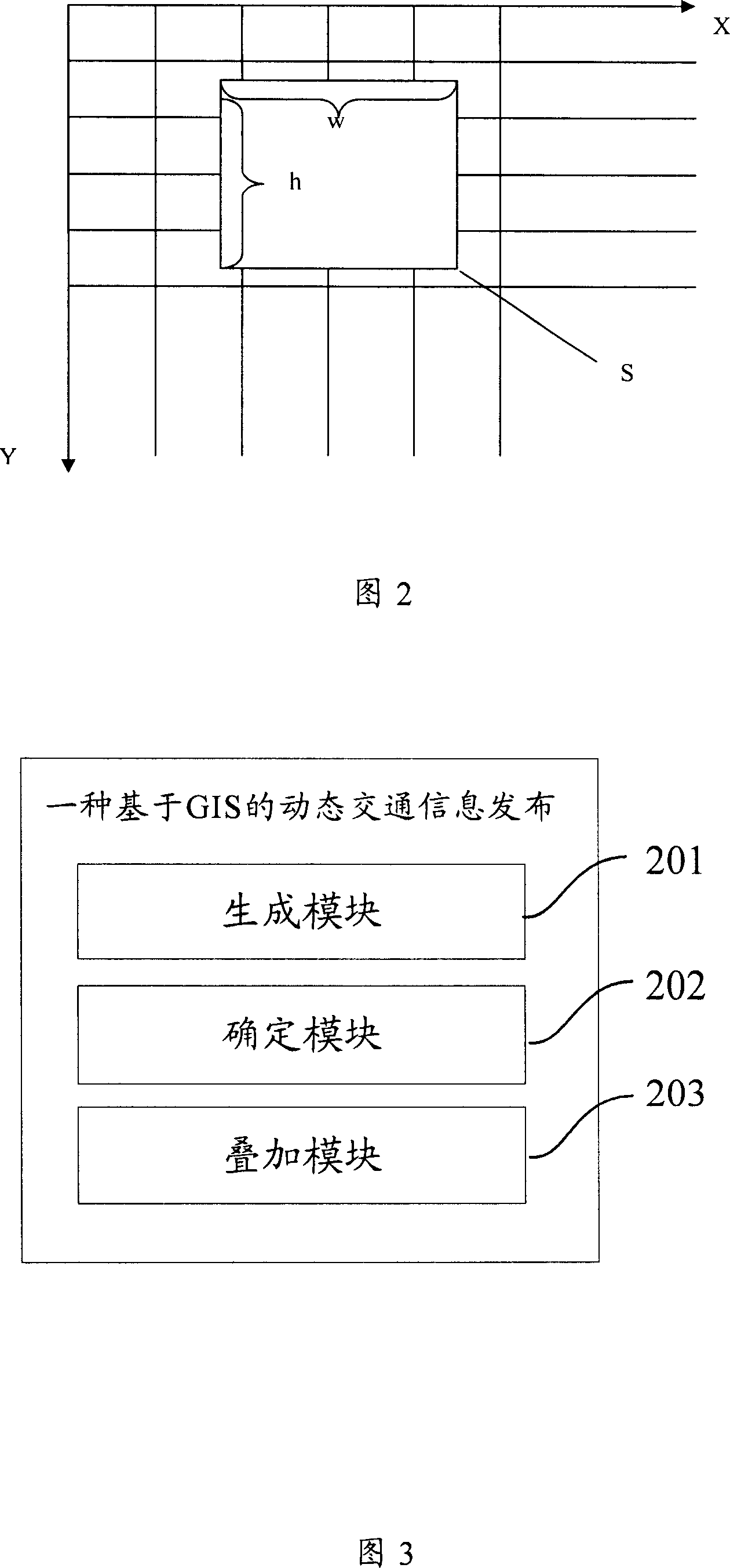
[0088] It should be noted that the core idea of ​​generating the background image file is to segment the map data according to the window size or display requirements, and store the divided images. Preferably, the present invention adopts following method to generate background image file:

[0089] Draw multiple levels of background image files based on map data;

[0090] Setting the size of the unit bac...


PUM


Abstract

This invention provides one dynamic traffic information distribution method based on GIS, which is characterized by the following: servo generates several background files and front views files according to map data; determining needed background image files and front views files; getting needed background image files and front view files and overlapping them on customer end.

Description

technical field [0001] The invention relates to the field of processing and application of urban road traffic condition information, in particular to a method and system for publishing dynamic traffic information based on GIS. Background technique [0002] Geographic Information System (GIS) is a computer system that collects, stores, manages, describes, analyzes and displays and applies geographic information. Geographical information is information that describes the spatial position and spatial relationship on the earth's surface. Spatial data includes images with spatial location characteristics, graphic data and related text data, for example, traffic data is a kind of spatial data. Specifically, GIS is based on geospatial databases, with the support of computer hardware and software environments, it collects, manages, operates, analyzes, simulates and displays spatially related data, and uses geographic model analysis methods to provide multiple information in a timel...

Claims


Application Information

Patent Timeline
IPC IPC(8): H04L29/06G06F17/30
Inventor 刘敏马殿富吕卫锋诸彤宇
Owner BEIHANG UNIV
Why Eureka
Try Eureka