Surface temperature downscaling method based on data mining
A surface temperature and data mining technology, applied in the field of agricultural remote sensing, can solve problems such as low precision, difficult acquisition, and long acquisition cycle, and achieve the effects of improving downscaling accuracy, ensuring accuracy, and uniform distribution
- Summary
- Abstract
- Description
- Claims
- Application Information
AI Technical Summary
Problems solved by technology
Method used
Image
Examples
Embodiment 1
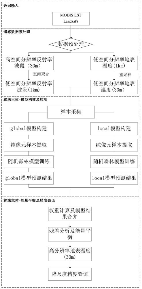
[0053] The present invention provides a method for downscaling ground surface temperature with low spatial resolution based on mining high spatial resolution shortwave band information, comprising the following steps:
[0054] Step 1: Select appropriate low spatial resolution surface temperature data and high spatial resolution visible light data as data sources according to the experimental area;
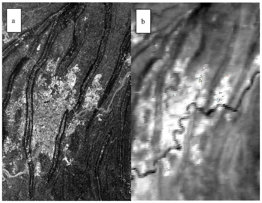
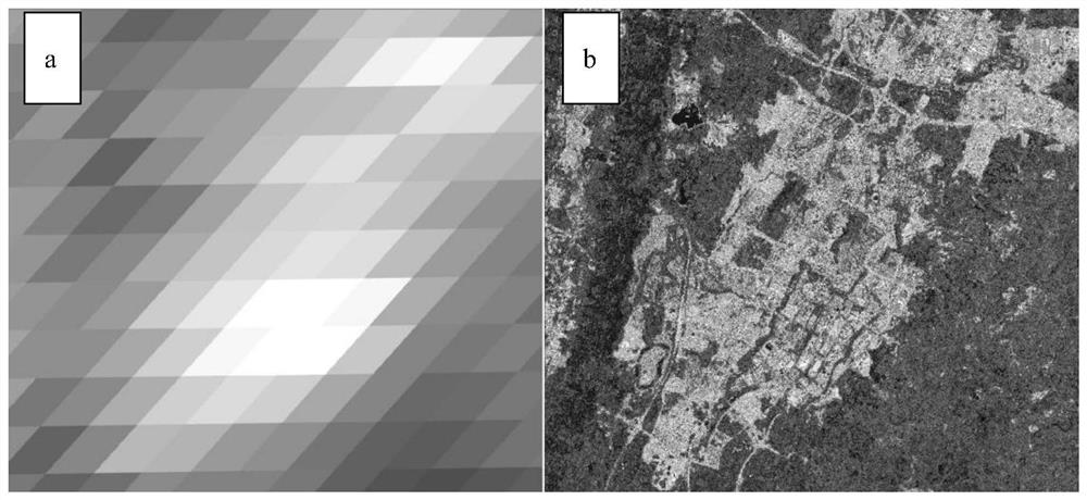
[0055] Step 2: Sampling bilinear interpolation method to resample the low spatial resolution surface temperature data to the high spatial resolution visible light data pixel size, and spatially aggregate the high spatial resolution data to the low spatial resolution pixel scale ( This process has been reflected in the moving window sampling), input the resampled surface temperature data and the original visible light data (you can select the input band as needed) into the algorithm (note that the input data area is consistent);
[0056] Step 3: Define a coefficient of variation C ...
PUM
 Abstract
Description
Claims
Application Information
 - R&D
- Intellectual Property
- Life Sciences
- Materials
- Tech Scout
- Unparalleled Data Quality
- Higher Quality Content
- 60% Fewer Hallucinations
Browse by: Latest US Patents, China's latest patents, Technical Efficacy Thesaurus, Application Domain, Technology Topic, Popular Technical Reports.
© 2025 PatSnap. All rights reserved.Legal|Privacy policy|Modern Slavery Act Transparency Statement|Sitemap|About US| Contact US: help@patsnap.com


