GPS elevation fitting method and system considering gravity terrain correction
A terrain correction, GPS leveling technology, applied in neural learning methods, altitude/level measurement, instruments, etc., can solve problems such as poor accuracy in cost mountainous areas
- Summary
- Abstract
- Description
- Claims
- Application Information
AI Technical Summary
Problems solved by technology
Method used
Image
Examples
Embodiment Construction
[0056] The technical solution of the present invention will be described in detail below in conjunction with the accompanying drawings and embodiments.
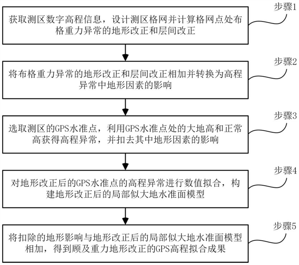
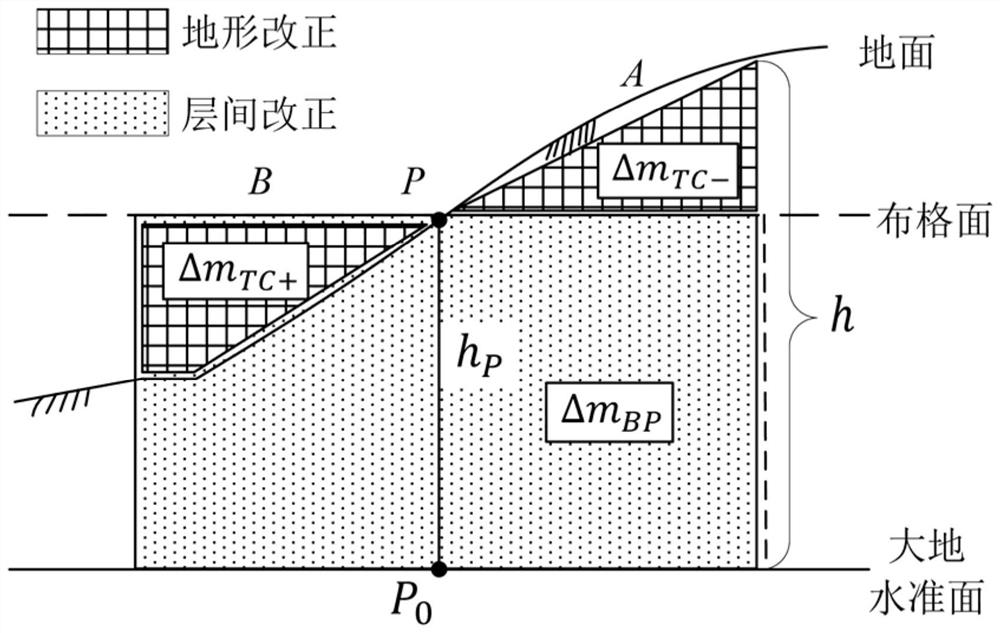
[0057] The present invention provides a GPS elevation fitting method considering gravity terrain correction, which is characterized in that the terrain correction and interlayer correction items in the Bouguer gravity anomaly are converted into the influence on the quasi-geoid through the Stokes integral formula, so as to realize the The correction of terrain fluctuations in GPS leveling data makes the corrected quasi-geoid smoother so that the fitting effect of GPS elevation fitting method is better.
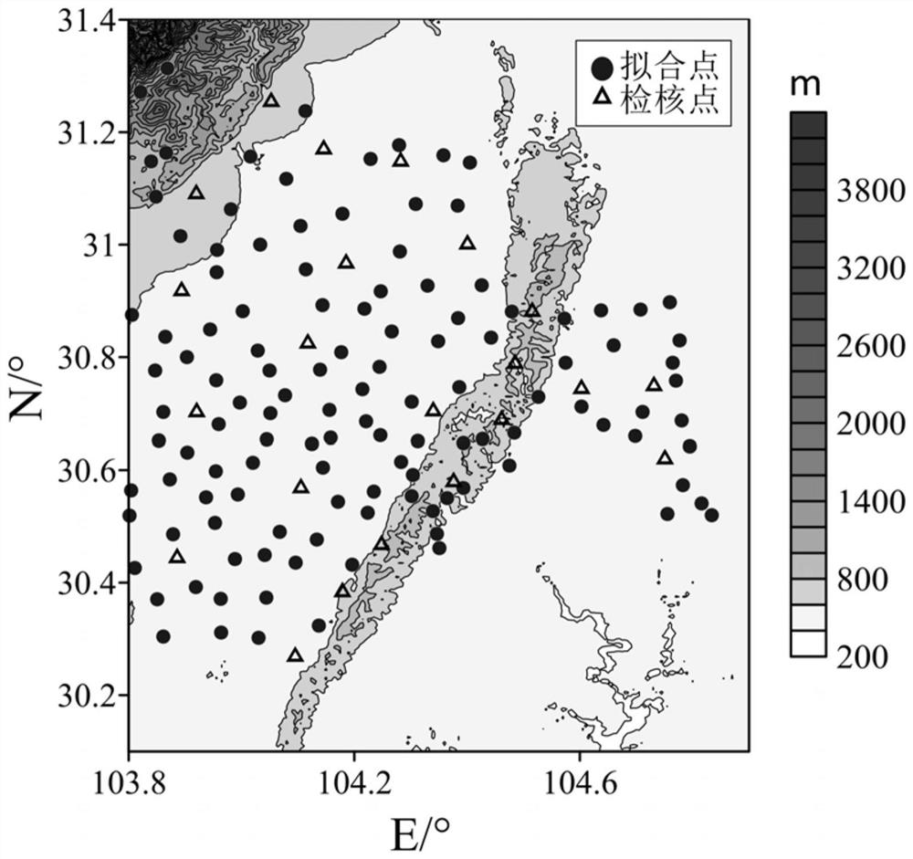
[0058] figure 1 Provided the flow process of the inventive method, in conjunction with figure 2 Experiments were carried out on the data of the measurement area shown to verify the optimization effect of the present invention. The experimental measurement area is about 11500km 2 , the terrain fluctuation is more than 4000...
PUM
 Abstract
Description
Claims
Application Information
 - R&D
- Intellectual Property
- Life Sciences
- Materials
- Tech Scout
- Unparalleled Data Quality
- Higher Quality Content
- 60% Fewer Hallucinations
Browse by: Latest US Patents, China's latest patents, Technical Efficacy Thesaurus, Application Domain, Technology Topic, Popular Technical Reports.
© 2025 PatSnap. All rights reserved.Legal|Privacy policy|Modern Slavery Act Transparency Statement|Sitemap|About US| Contact US: help@patsnap.com


