A Spatial Gridding Method for Carbon Dioxide Emissions in the Transportation Sector
A carbon dioxide, spatialization technology, applied in design optimization/simulation, structured data retrieval, geographic information database, etc., can solve the problems of ununified emissions, inconsistent results of carbon dioxide emission methods, etc.
- Summary
- Abstract
- Description
- Claims
- Application Information
AI Technical Summary
Problems solved by technology
Method used
Image
Examples
Embodiment Construction
[0066] The present invention will be further described now in conjunction with accompanying drawing.
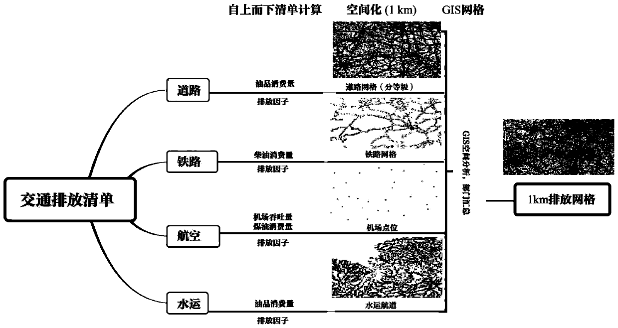
[0067] Such as figure 1 As shown, the present invention proposes a spatial grid method for carbon dioxide emissions in the transportation sector, which is a high-resolution spatialization method for carbon dioxide emissions in the transportation sector that combines top-down and bottom-up, according to a certain area The transportation turnover or energy consumption of each transportation department, combined with the carbon dioxide emission inventory of the transportation department, realizes the spatial resolution emission spatial grid grid within the 1km area of the transportation industry; solves the problem that the emissions of various transportation departments cannot be unified; among them, Said transport sectors include: road, rail, waterway and air; the method includes:
[0068] Step S1) Establishing a grid data model including multiple grids, each grid correspon...
PUM
 Abstract
Description
Claims
Application Information
 - R&D
- Intellectual Property
- Life Sciences
- Materials
- Tech Scout
- Unparalleled Data Quality
- Higher Quality Content
- 60% Fewer Hallucinations
Browse by: Latest US Patents, China's latest patents, Technical Efficacy Thesaurus, Application Domain, Technology Topic, Popular Technical Reports.
© 2025 PatSnap. All rights reserved.Legal|Privacy policy|Modern Slavery Act Transparency Statement|Sitemap|About US| Contact US: help@patsnap.com


