
Atmospheric pollution satellite remote sensing monitoring method and device and computer readable medium

A technology of satellite remote sensing and satellite remote sensing data, which is applied in the field of data processing and can solve the problems of low monitoring accuracy

Active Publication Date: 2018-12-14
BEIJING AEROSPACE HONGTU INFORMATION TECH
View PDF5 Cites 19 Cited by
  • Summary
  • Abstract
  • Description
  • Claims
  • Application Information

AI Technical Summary

Problems solved by technology

[0004] In view of this, the object of the present invention is to provide a satellite remote sensing monitoring method, device and computer-readable medium for air pollution, which alleviates the technical problem of low monitoring accuracy of existing pollutant monitoring technology

Method used


Image

  • Atmospheric pollution satellite remote sensing monitoring method and device and computer readable medium
  • Atmospheric pollution satellite remote sensing monitoring method and device and computer readable medium
  • Atmospheric pollution satellite remote sensing monitoring method and device and computer readable medium

Examples


Embodiment 1

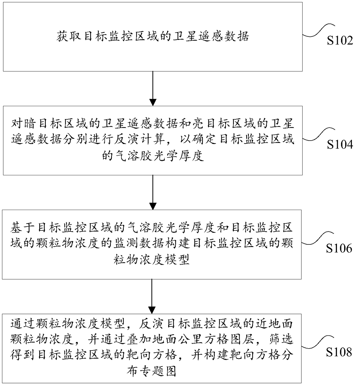
[0028] According to an embodiment of the present invention, an embodiment of a satellite remote sensing monitoring method for air pollution is provided. It should be noted that the steps shown in the flow chart of the accompanying drawings can be executed in a computer system such as a set of computer-executable instructions , and, although a logical order is shown in the flowcharts, in some cases the steps shown or described may be performed in an order different from that shown or described herein.

[0029] figure 1 It is a flowchart of a satellite remote sensing monitoring method for air pollution according to an embodiment of the present invention, such as figure 1 As shown, the method includes the following steps:

[0030] Step S102, acquiring the satellite remote sensing data of the target monitoring area, wherein the clear sky pixel of the satellite remote sensing data includes the satellite remote sensing data of the dark target area and the satellite remote sensing d...

Embodiment 2

[0080] Figure 4 It is a flow chart of the first optional satellite remote sensing monitoring method for air pollution according to an embodiment of the present invention, such as Figure 4 As shown, the process of this method is described as follows:

[0081] Obtain the satellite remote sensing data of the target monitoring area; determine the calculation algorithm of the satellite remote sensing data, wherein, carry out inversion calculation on the satellite remote sensing data of the dark target area through the dark pixel algorithm, and obtain the first aerosol optical depth; through the dark blue algorithm Perform inversion calculation on the satellite remote sensing data of the bright target area to obtain the second aerosol optical depth; the specific process is as described above, and will not be repeated here.

Embodiment 3

[0083] Figure 5It is a flow chart of the second optional satellite remote sensing monitoring method for air pollution according to an embodiment of the present invention, such as Figure 5 As shown, the process of this method is described as follows:

[0084] Obtain the monitoring data of the particle concentration and the aerosol optical depth of the target monitoring area determined in the second embodiment, and conduct a spatial correlation study on the monitoring data of the particle concentration and the aerosol optical depth of the target monitoring area. Afterwards, based on the monitoring data of the aerosol optical depth and the particle concentration, a mixed effect model is constructed; wherein, the mixed effect model is used to characterize the linear relationship between the aerosol optical depth and the particle concentration; based on the aerosol The optical thickness and the particle concentration construct a geographically weighted regression model; the mixe...


PUM


Abstract

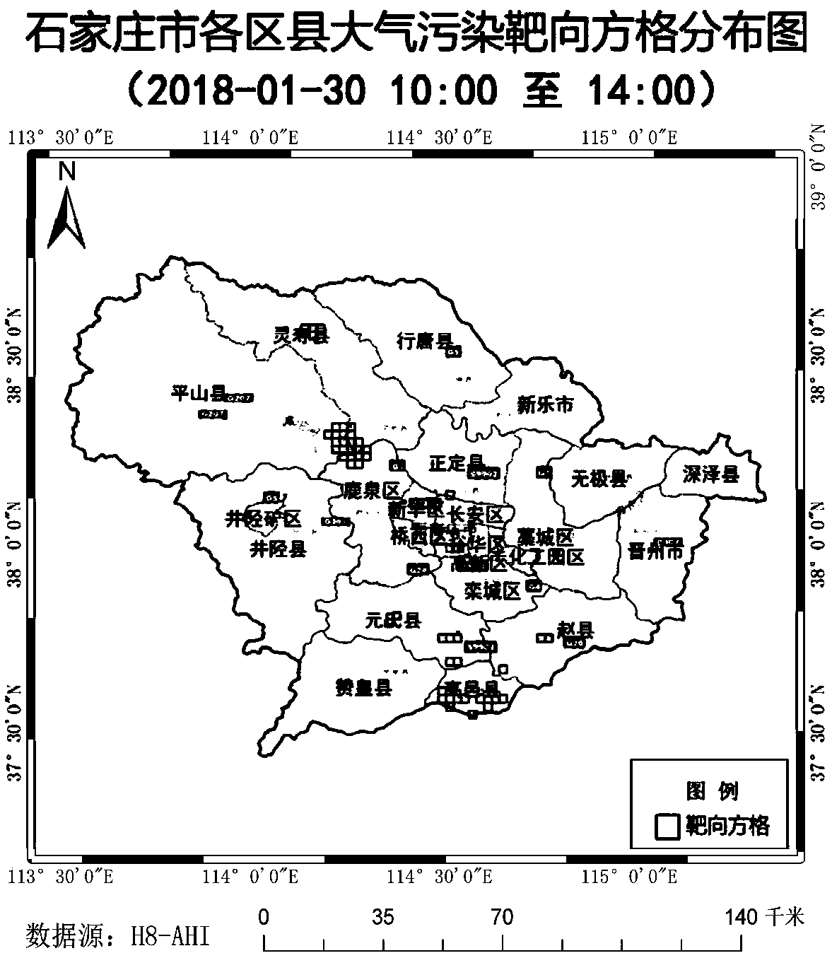
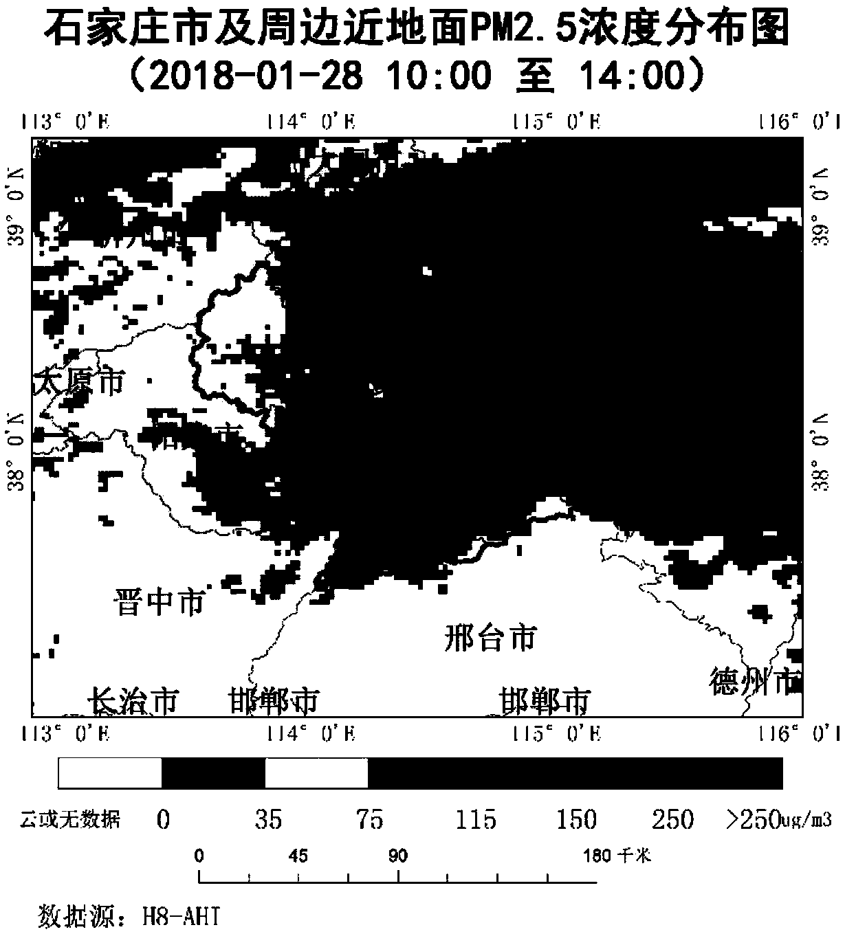
The invention provides an atmospheric pollution satellite remote sensing monitoring method and device and a computer readable medium and relates to the technical field of data processing. The atmospheric pollution satellite remote sensing monitoring method comprises the steps of obtaining a satellite remote sensing data of a target monitoring area, wherein the satellite remote sensing data comprise satellite remote sensing data of a dark target area and satellite remote sensing of a bright target area; correspondingly carrying out inversion calculation on the satellite remote sensing data of the dark target area and the satellite remote sensing of the bright target area so as to determine aerosol optical thickness of the target monitoring area; constructing a particulate matter concentration model of the target monitoring area on the basis of the aerosol optical thickness of the target monitoring area and particulate matter concentration of the target monitoring area; inverting particulate matter concentration near the ground by using the particulate matter concentration model; by overlaying ground kilometer grid layers, screening the overlaid ground kilometer grid layers to obtaina targeted grid of the target monitoring area; and constructing a targeted grid distribution thematic map. The atmospheric pollution satellite remote sensing monitoring method provided by the invention has the advantage that a technical problem of lower monitoring accuracy of an existing pollutant monitoring technology is solved.

Description

technical field [0001] The invention relates to the technical field of data processing, in particular to a satellite remote sensing monitoring method, device and computer-readable medium for air pollution. Background technique [0002] Atmospheric pollution environmental control has been paid more and more attention by departments at all levels, and there are various monitoring methods and methods for monitoring atmospheric PM particles using satellite remote sensing. As the most basic parameter of atmospheric aerosol optical characteristics, aerosol optical depth (AOD) is the integral of the aerosol extinction coefficient from the ground to the top of the atmosphere, which characterizes the degree of extinction caused by aerosol scattering in the vertical column of cloudless atmosphere, which is different from that of the atmosphere It is related to the aerosol mass concentration, extinction coefficient and hygroscopic growth parameters. At present, satellite remote sensin...

Claims


Application Information

Patent Timeline
Patent Type & Authority Applications(China)
IPC IPC(8): G01N15/06G01N33/00G01D21/02G06K9/00
CPCG01D21/02G01N15/06G01N33/0004G01N33/0062G06V20/13Y02A50/20
Inventor 廖通逵陈学文张晗李小飞
Owner BEIJING AEROSPACE HONGTU INFORMATION TECH
Learn More