Ship target detection method based on coastline data and spectral analysis
A target detection and spectrum analysis technology, applied in image analysis, image data processing, instruments, etc., can solve the problems of confusion between ship targets and ground objects, high consumption of ship target detection, and inability to effectively remove noise, etc. Effect
- Summary
- Abstract
- Description
- Claims
- Application Information
AI Technical Summary
Problems solved by technology
Method used
Image
Examples
specific Embodiment approach 1
[0046] Specific implementation mode one: a kind of ship target detection method based on coastline data and frequency spectrum analysis of the present implementation mode is specifically prepared according to the following steps:
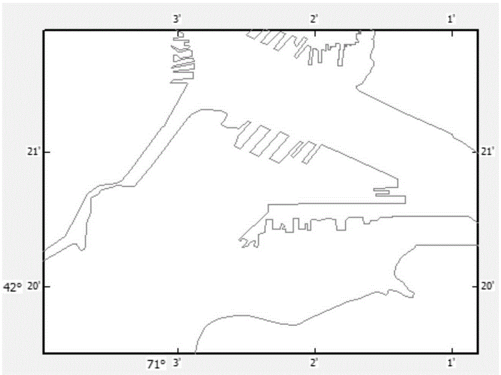
[0047] Step 1. Land noise removal based on coastline data; obtain coastline vector data and high-resolution satellite remote sensing images at the same location, and complete the unification of the two types of data coordinate systems according to the scale of coastline vector data and the resolution of high-resolution satellite remote sensing images ( That is, to complete the determination of the coastline vector data and the origin of the coordinates of the high-resolution satellite remote sensing image), after manually correcting the tiny details, use the land mask to remove the noise of land features in the high-resolution satellite remote sensing image; The image data whose background is all ocean is the image after the mask;
[0048]Step 2, cl...
specific Embodiment approach 2
[0065] Specific embodiment two: the difference between this embodiment and specific embodiment one is: the coastline vector data and high-resolution satellite remote sensing image of the same place are obtained in step one, and the resolution of the coastline vector data scale and high-resolution satellite remote sensing image is completed The unification of the two types of data coordinate systems, after manually correcting tiny details, use land masks to remove land feature noise in high-resolution satellite remote sensing images; the specific process of forming image data with the background of the ocean, that is, the masked image is as follows:
[0066] (1) Data preparation; the metadata carried by a high-resolution remote sensing satellite image records the basic information when the image is acquired; for the land mask method, the image is required to provide the shooting position information, which is generally expressed in latitude and longitude;
[0067] The coastline ...
specific Embodiment approach 3
[0076] Embodiment 3: This embodiment is different from Embodiment 1 or Embodiment 2 in that: the limit range of the scale is 1:10000 to 1:600000. Other steps and parameters are the same as those in Embodiment 1 or Embodiment 2.
PUM
 Abstract
Description
Claims
Application Information
 - R&D
- Intellectual Property
- Life Sciences
- Materials
- Tech Scout
- Unparalleled Data Quality
- Higher Quality Content
- 60% Fewer Hallucinations
Browse by: Latest US Patents, China's latest patents, Technical Efficacy Thesaurus, Application Domain, Technology Topic, Popular Technical Reports.
© 2025 PatSnap. All rights reserved.Legal|Privacy policy|Modern Slavery Act Transparency Statement|Sitemap|About US| Contact US: help@patsnap.com


