Remote sensing monitoring method for sheath blight of land winter wheat
A technology for remote sensing monitoring and sheath blight, applied in the measurement of color/spectral characteristics, etc., can solve problems such as the occurrence of sheath blight that cannot represent the region, and achieve easy recognition and use, large amount of information, and reduced investigation workload. Effect
- Summary
- Abstract
- Description
- Claims
- Application Information
AI Technical Summary
Problems solved by technology
Method used
Image
Examples
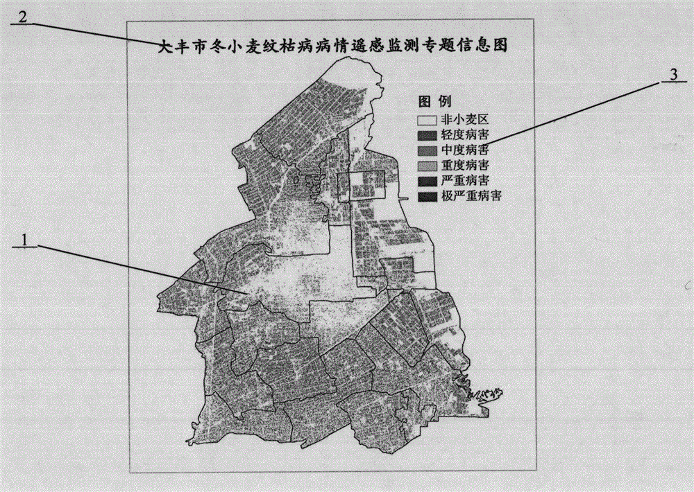
Embodiment 1
[0018] (1) During the growth period of winter wheat in Dafeng City, query and order the environmental satellite remote sensing images (spatial resolution of 30 meters) of Dafeng City until March 21, 2014 (winter wheat jointing stage), and perform geometric correction and atmospheric correction prediction. ready for use after processing;
[0019] (2) The relative humidity of the canopy of the wheat field is obtained by the local agricultural department. The relative humidity of the canopy of the wheat field is added for 5 consecutive days from March 17 to 21 (5 days before the remote sensing satellite passes) and then the average value is calculated. In this example The average value of the relative humidity of the canopy of the wheat field is 58.1%;
[0020] (3) The daily average temperature data of the wheat field is obtained by the local agricultural department. The daily average temperature of the wheat field for 5 consecutive days from March 17 to 21 (5 days before the rem...
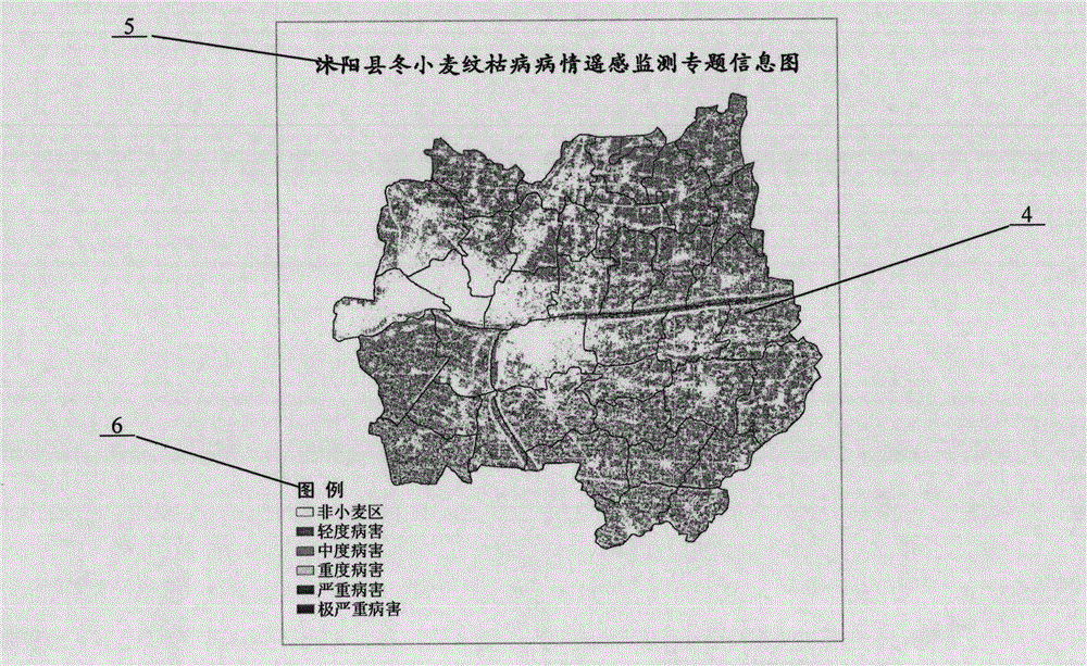
Embodiment 2
[0025] (1) During the growth period of winter wheat in Shuyang County, query and order the environmental satellite remote sensing images (spatial resolution of 30 meters) of Shuyang County until April 4, 2014 (winter wheat jointing stage), after geometric correction and atmospheric correction preprocessing stand-by;
[0026] (2) The relative humidity data of the wheat field canopy was obtained by the local agricultural department. The relative humidity of the wheat field canopy was added for 5 consecutive days from March 31 to April 4 (5 days before the remote sensing satellite passed through) and then the average value was calculated. The average value of the relative humidity of the wheat field canopy obtained in this example is 46.6%;
[0027] (3) The daily average temperature data of the wheat field is obtained by the local agricultural department. The daily average temperature of the wheat field for 5 consecutive days from March 31 to April 4 (5 days before the remote sen...
PUM
 Abstract
Description
Claims
Application Information
 - R&D Engineer
- R&D Manager
- IP Professional
- Industry Leading Data Capabilities
- Powerful AI technology
- Patent DNA Extraction
Browse by: Latest US Patents, China's latest patents, Technical Efficacy Thesaurus, Application Domain, Technology Topic, Popular Technical Reports.
© 2024 PatSnap. All rights reserved.Legal|Privacy policy|Modern Slavery Act Transparency Statement|Sitemap|About US| Contact US: help@patsnap.com


