Geographic information image compression method

A technology of geographic information and compression method, applied in the field of geographic information image compression, can solve problems such as affecting the use effect of geographic information images, and achieve the effect of reducing the amount of calculation and high computing speed.

Inactive Publication Date: 2013-09-04
SHANGHAI TRIMAN INFORMATION & TECH
View PDF6 Cites 2 Cited by
  • Summary
  • Abstract
  • Description
  • Claims
  • Application Information

AI Technical Summary

Problems solved by technology

Although computer hardware technology has developed rapidly, when these geographic information images are expected to be widely used on the network, the performance limitations of network bandwidth and terminal equipment will still affect the use of these geographic information images

Method used


Image

  • Geographic information image compression method
  • Geographic information image compression method
  • Geographic information image compression method

Examples


Embodiment Construction

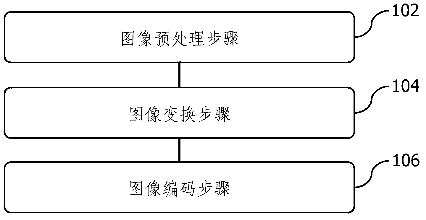
[0016] refer to figure 1 As shown, the present invention proposes a kind of compression method of geographical information image, comprises the following steps:

[0017] 102. In the image preprocessing step, the geographic information image is obtained, and the geographic information image is divided into blocks according to the terrain law in the geographic information image. In one embodiment, the terrain law includes the roughness of the terrain, and the roughness can be defined in the following manner: in a selected area, the altitude is within ±10% of the average altitude of the area area as a percentage of the total area of ​​the area. When the ratio is above 70%, the roughness of the region is flat. When the ratio is between 30% and 70%, the ruggedness of this area is moderate. When the ratio is below 30%, the ruggedness of the area is highly rugged. In one embodiment, another factor that needs to be considered in the terrain law is the division of administrative r...


PUM


Abstract

The invention discloses a geographic information image compression method. The geographic information image compression method comprises a step of preprocessing an image, a step of transforming the image and a step of coding the image, wherein the step of preprocessing the image comprises the steps of acquiring a geographic information image, conducting partitioning on the geographic information image according to topographical rules which comprise topographical rugged degrees, the step of transforming the image comprises the steps of conducting transformation processing on the image for each partitioning by the utilization of two-dimensional wavelet transformation, the two-dimensional wavelet transformation uses biorthogonal wavelets and is broken into two times of one-dimensional wavelet transformation to conduct processing, the two times of one-dimensional wavelet transformation are low-frequency data transformation and high-frequency data transformation respectively, processing is carried out on the low-frequency data transformation and the high-frequency data transformation in a parallel mode, and the step of coding the image comprises the steps of carrying out quantization on the image processed by the two-dimensional wavelet transformation and conducting coding for a second time, and an ECBOT algorithm is adopted by the coding. The geographic information image compression method reduces calculated amount of image processing and is high in calculating speed, and the quality of the image is not obviously affected.

Description

technical field [0001] The invention relates to geographic information processing technology, in particular to a method for compressing geographic information images. Background technique [0002] The application of geographic information system (GIS) is developing rapidly. The basis of GIS is high-definition, high-resolution and highly accurate electronic maps. Electronic maps can display three-dimensional terrain and are of great value in military simulation, urban planning, digital technology applications and other fields. [0003] High-definition and high-resolution electronic maps mean geographic information images with a huge amount of data. When using these images, the computer needs to have a large memory capacity and storage space, as well as a strong computing power. Although computer hardware technology has developed rapidly, when these geographic information images are expected to be widely used on the network, the performance limitations of network bandwidth ...

Claims


Application Information

Patent Timeline
IPC IPC(8): G06T9/00H03M7/40
Inventor 高建强顾国强顾永立王战英熊健
Owner SHANGHAI TRIMAN INFORMATION & TECH
Why Eureka
Try Eureka