Ore body modeling system in digital mine and modeling and detecting method of ore body modeling system
A digital mine and ore body technology, applied in the field of digital three-dimensional geological modeling system, can solve problems such as inapplicable ore body modeling
- Summary
- Abstract
- Description
- Claims
- Application Information
AI Technical Summary
Problems solved by technology
Method used
Image
Examples
specific Embodiment approach
[0031] The ore body modeling system in the digital mine of the present invention, its preferred embodiment is:
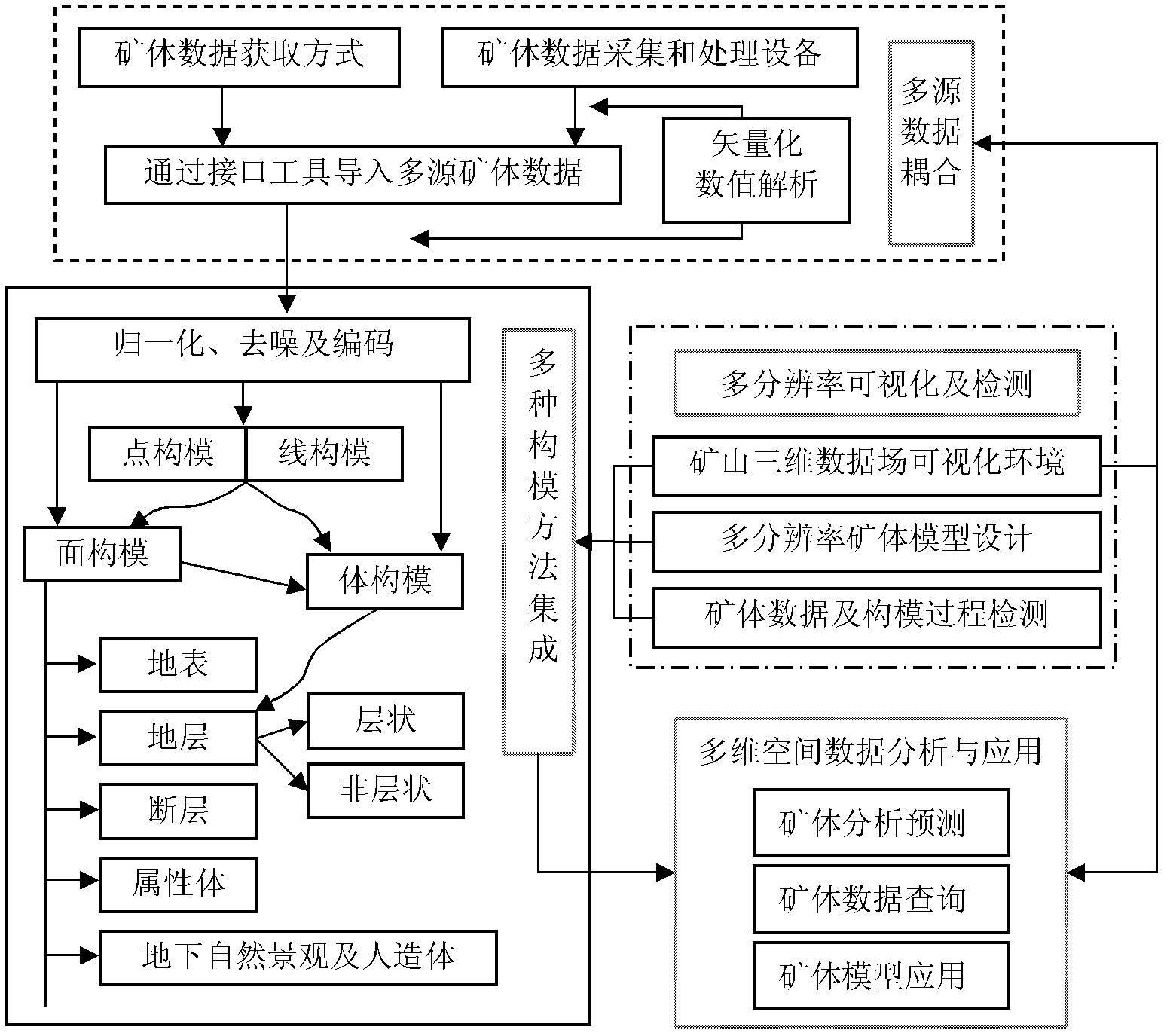
[0032] Including multi-source data coupling module, multi-modeling method integration module, multi-resolution visualization and detection module, multi-dimensional spatial data analysis and application module;
[0033] The multi-source data coupling module is used to obtain multi-source ore body data, and perform coupling processing on the obtained multi-source ore body data;
[0034] The integrated module of multiple modeling methods is used to establish various ore body models suitable for mine planning and construction according to the coupled multi-source ore body data;
[0035] The multi-resolution visualization and detection module is used to display and detect the coupling processing results of the multi-source ore body data and the establishment process and results of various ore body models;
[0036] The multi-dimensional spatial data analysis and applica...
specific Embodiment 1
[0125] Application of ore body modeling and detection method in digital mine of a gold mine.
[0126] Step 101: Mining area X: 4600-6400, Y: 66200-70000, with an area of about 6.7km 2 , the relative coordinates of the inflection point of the mining zone are shown in Table 2. Surface data can be obtained through remote sensing data or DEM, combined with geological maps, etc., which mainly reflect the topographic information of the mining area, geological outcrop information or the distribution of geological structures on the surface.
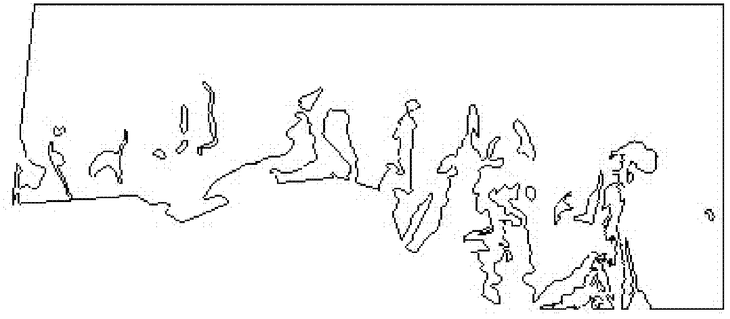
[0127] Such as figure 2 As shown, it represents the boundary information of the Quaternary system in the mining area. Underground space data mainly comes from the results of exploration engineering, geophysical prospecting and geochemical prospecting to reveal the spatial distribution of deep underground rocks, ore bodies or structures, mainly including: coordinates, azimuths, inclinations and other project starting position data of drilling...
PUM
 Abstract
Description
Claims
Application Information
 - R&D
- Intellectual Property
- Life Sciences
- Materials
- Tech Scout
- Unparalleled Data Quality
- Higher Quality Content
- 60% Fewer Hallucinations
Browse by: Latest US Patents, China's latest patents, Technical Efficacy Thesaurus, Application Domain, Technology Topic, Popular Technical Reports.
© 2025 PatSnap. All rights reserved.Legal|Privacy policy|Modern Slavery Act Transparency Statement|Sitemap|About US| Contact US: help@patsnap.com


