
Method for converting three-dimensional geologic model into numerical calculation model

A three-dimensional geology and geological model technology, applied in the field of geotechnical engineering, can solve the problems of no requirements for exploration specifications, complicated implementation process, and inability to handle geotechnical engineering excavation and construction well, and achieve accurate and reasonable mechanical properties of rock mass. The effect of increased accuracy

Inactive Publication Date: 2019-11-08
NANJING UNIV OF SCI & TECH
View PDF0 Cites 6 Cited by
  • Summary
  • Abstract
  • Description
  • Claims
  • Application Information

AI Technical Summary

Problems solved by technology

[0003] Most of the current research starts from the perspective of expanding the geological simulation function, so that the geological model can be used for calculation and analysis after transformation, and does not study it from the perspective of benefiting from the numerical simulation. The following problems will arise when simply using the 3D geological model: the entire implementation process is complicated and requires It can be completed by using an auxiliary system and frequent manual interaction; it is easy to generate deformed meshes, the quality of the elements is not good, and the overall modeling efficiency is not high; it cannot handle problems such as excavation and construction in geotechnical engineering; 3D geological modeling The operation of the software is too complicated to be mastered by the majority of geological mapping personnel at the grassroots level. The 3D modeling constraints are too strict, and the editing workload is huge. There is no 3D geological model data standard, and it is difficult to exchange and share model data. There is no requirement in the exploration specification

Method used


Image

  • Method for converting three-dimensional geologic model into numerical calculation model
  • Method for converting three-dimensional geologic model into numerical calculation model
  • Method for converting three-dimensional geologic model into numerical calculation model

Examples


Embodiment Construction

[0044] The solution of the present invention will be further described below in conjunction with the accompanying drawings and specific embodiments.

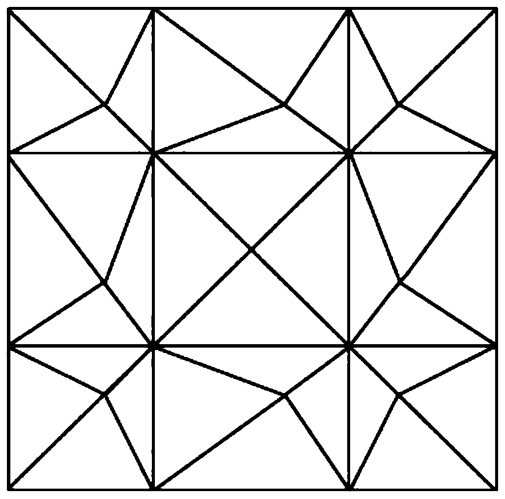
[0045] A method for converting a three-dimensional geological model into a numerical calculation model, the three-dimensional geological model is a three-dimensional geological model based on an irregular triangular network, such as figure 1 shown, including the following steps:

[0046] Step 1: Carry out regional segmentation of the geological model according to the calculation range, the process is as follows:

[0047] Select the calculation area, define the width and depth of the cutting surface to cut to obtain the cutting model, assume that the cutting area is composed of four vertical planes, the cutting range and the topological relationship after cutting are as follows: figure 2 .

[0048] Step 2: Extract the control data from the cutting model for grid reconstruction. This step is divided into the reconstruction of t...


PUM


Abstract

The invention discloses a method for converting a three-dimensional geologic model into a numerical calculation model. The method comprises the following steps of 1, performing region cutting on the geologic model according to a calculation range; step 2, extracting control data from the cutting model to perform grid reconstruction and obtain a cutting area surface model, wherein the step comprises grid reconstruction of a stratum interface and grid reconstruction of the surrounding surface of the stratum; 3, automatically subdividing finite element grids for the surface model of the cutting area, and generating topological data and geometric data of the finite element grids; and 4, importing the grid data into a numerical analysis system to complete modeling. According to the method, a three-dimensional geological model is converted into a numerical calculation model meeting the requirements of finite element grids in a specific mode; a complex model grid can be accurately generated through conversion, the overall modeling speed is high, the automation degree is high, the excavation process can be conveniently simulated, the method can be used for different numerical analysis systems, and the efficiency of preprocessing work for solving problems through finite elements is greatly improved.

Description

technical field [0001] The invention belongs to the technical field of geotechnical engineering, and in particular relates to a method for converting a three-dimensional geological model into a numerical calculation model. Background technique [0002] The 3D geoscientific simulation currently has relatively strong 3D geological modeling capabilities, and can realize spatial operations such as sectioning and cutting of the model. The geological model is based on the actual geological data and through the spatial data information management system. The geological features are interpreted based on the geological knowledge and experience of the modelers, and then established using geological modeling techniques. The 3D geological model can truly reflect the actual geological conditions to the greatest extent, especially for complex geological structures. [0003] Most of the current research starts from the perspective of expanding the geological simulation function, so that t...

Claims


Application Information

Patent Timeline
Patent Type & Authority Applications(China)
IPC IPC(8): G06T17/05G06T17/20G06T19/20G06F17/50
CPCG06T17/05G06T17/205G06T19/20
Inventor 何元
Owner NANJING UNIV OF SCI & TECH
Learn More