
Space-time evolution analysis method for regional water conservation function

A technology of water conservation and time-space evolution, applied in instruments, calculations, electrical digital data processing, etc., can solve the problems of inability to fully and continuously reflect the dynamic change characteristics of regional water conservation functions, high cost of purchasing data, and discontinuous data periods. To achieve the effect of simple and convenient technology, low cost and easy access

Active Publication Date: 2019-08-13
XIAN UNIV OF TECH
View PDF5 Cites 4 Cited by
  • Summary
  • Abstract
  • Description
  • Claims
  • Application Information

AI Technical Summary

Problems solved by technology

Most of the existing research technologies reflect the changes in regional water conservation functions by calculating the changes in regional water storage based on the water balance equation. This calculation method is relatively rough and has poor precision; or purchase NPP data produced by remote sensing companies for limited scope and time. Analysis, the cost of purchasing data is relatively high, and the data obtained are generally discontinuous in periods, and cannot fully and continuously reflect the dynamic change characteristics of regional water conservation functions

Method used


Image

  • Space-time evolution analysis method for regional water conservation function
  • Space-time evolution analysis method for regional water conservation function
  • Space-time evolution analysis method for regional water conservation function

Examples


Embodiment

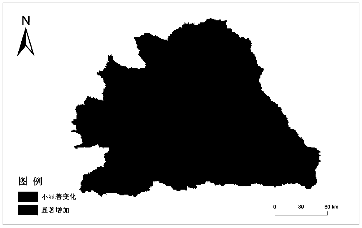
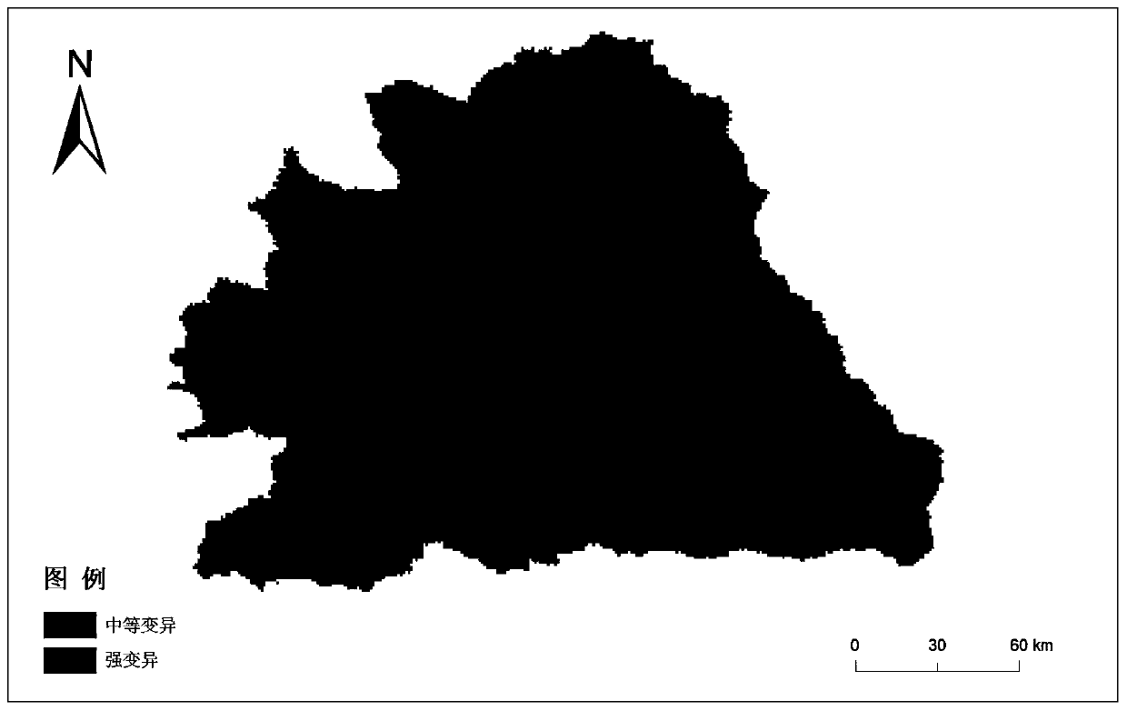
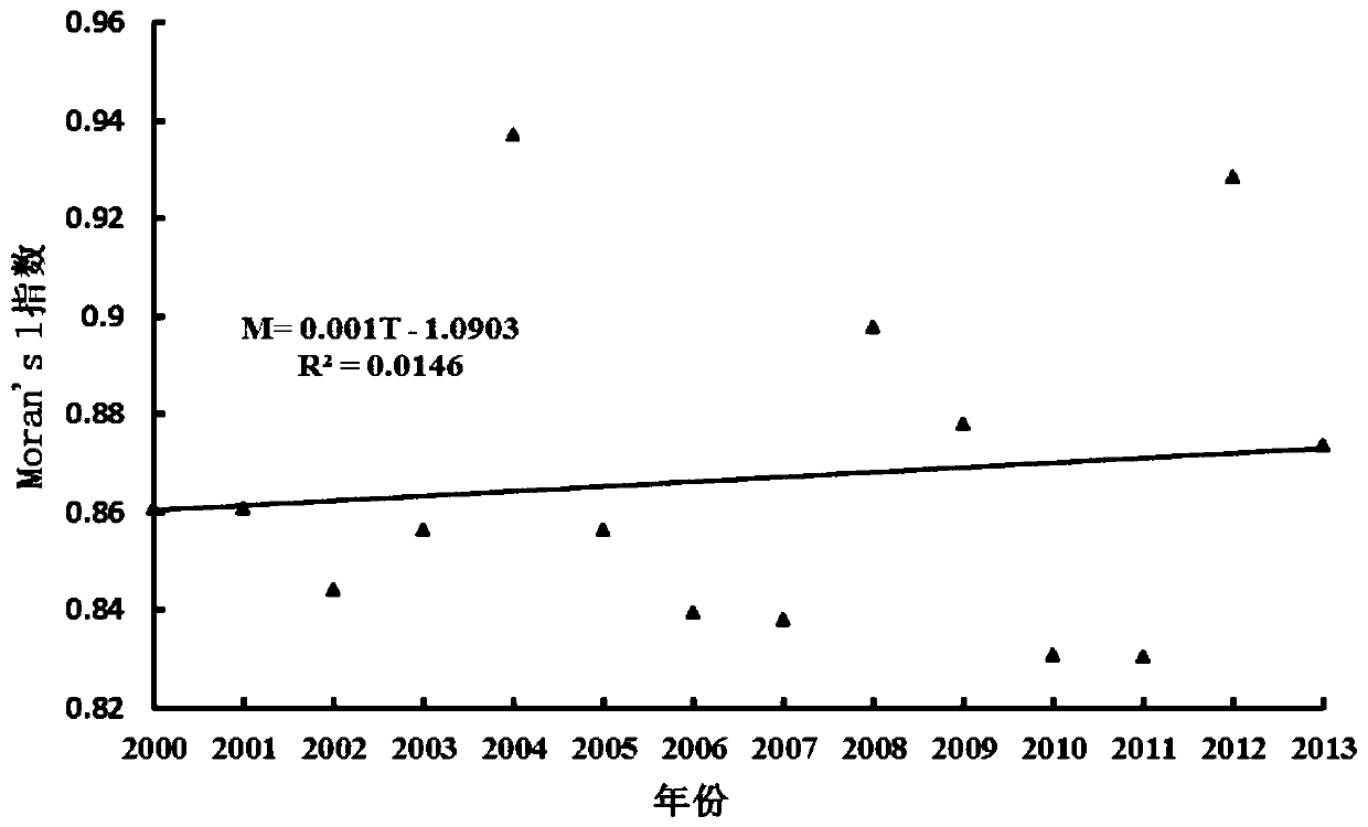
[0106] Taking the spatio-temporal evolution analysis of the water conservation function in the Wuding River Basin as an example, follow the steps below:

[0107] Step 1. First collect basic data: 1) 30m resolution DEM data of the Wuding River Basin, downloaded from the International Scientific Data Mirror Website of the Computer Network Information Center of the Chinese Academy of Sciences; Monthly precipitation and temperature data from 2000 to 2013 at 11 meteorological stations in Yan'an, Xixian, Lishi, Xingxian, Etuoke Banner, Yulin, Hengshan, Suide, and Dongsheng; 3) Soil composition data in the Wuding River Basin It comes from the Chinese soil dataset, and the soil type vector data comes from the mainland China soil vector dataset;

[0108] Step 2. According to the collected DEM data, the slope raster data of the Wuding River Basin is calculated by the hydrological analysis slope tool of the ArcGIS software spatial analysis module, and the slope factor raster data is obtain...


PUM


Abstract

The invention discloses a space-time evolution analysis method for a regional water conservation function. The method comprises the following steps: carrying out grid processing on collected data through the collected rainfall data, temperature data, DEM data, soil composition data and soil type data of a meteorological station, and carrying out normalization and ArcGIS software by adopting a maximum and minimum value method to obtain grid data of each factor; according to the grid data of each factor, on the basis of an NPP quantitative index method, calculating by combining ArcGIS software to obtain annual ecosystem water conservation service capability index grid data; analyzing according to the annual ecosystem water conservation service capability index grid data to obtain a time change trend of the water conservation service capability in the whole region space; and the time variation degree of the water conservation service capability in the regional space, the spatial aggregation characteristic of the water conservation function in the regional time and the time variation characteristic of the water conservation function in the different soil types of regions.

Description

technical field [0001] The invention belongs to the technical field of ecology, and relates to a method for analyzing the temporal and spatial evolution of regional water conservation functions. Background technique [0002] Since the implementation of China's reform and opening up policy, with the accelerated development of industrial industrialization and regional urbanization, the country's social and economic development has developed rapidly and achieved remarkable results. However, while the economy is developing rapidly, my country's ecological and environmental protection construction is still relatively It is backward, the intensity of environmental protection does not match the level of economic development, and there is a huge gap between the construction of ecological civilization and economic construction. At present, the country still faces ecological problems such as the threat of ecological space, the decline of ecological service functions and the continuous d...

Claims


Application Information

Patent Timeline
Patent Type & Authority Applications(China)
IPC IPC(8): G06F17/50
CPCG06F30/20
Inventor 李占斌贾路徐国策任宗萍李鹏程圣东王飞超成玉婷张译心王斌袁水龙呼媛张旭
Owner XIAN UNIV OF TECH
Learn More