Bridge pier inspection route planning method
A technology for bridge piers and bridges, applied in three-dimensional position/channel control, vehicle position/route/height control, instruments, etc., can solve the problems of low degree of automation, poor data stability, low security, etc., to improve the degree of automation, The effect of high stability and security, and high data quality
- Summary
- Abstract
- Description
- Claims
- Application Information
AI Technical Summary
Problems solved by technology
Method used
Image
Examples
Embodiment 1
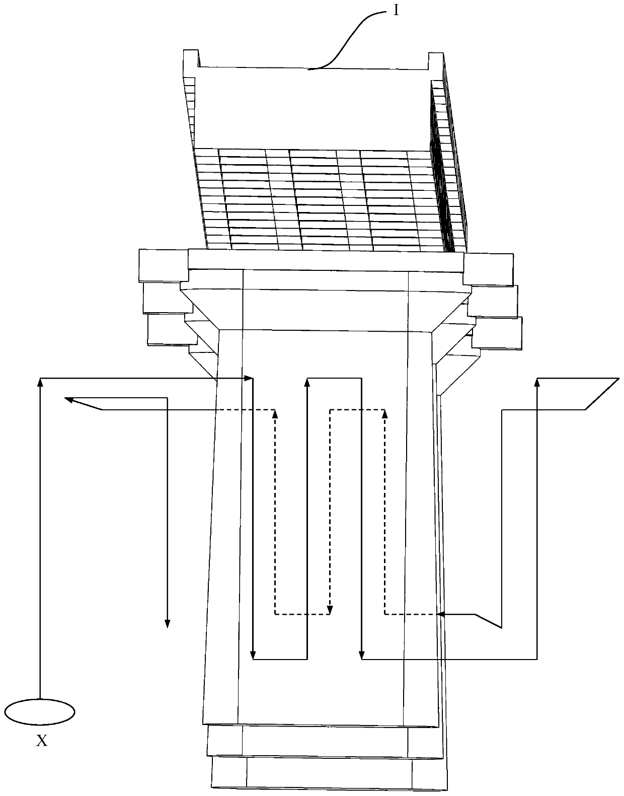
[0067] as attached image 3 As shown, an embodiment of the method for planning the inspection route of the bridge pier body of the present invention specifically includes the following steps:
[0068] The UAV 10 is operated to perform inspections around the pier body in a clockwise or counterclockwise direction under the bottom of the bridge, and image acquisition is performed on the four sides of the entire pier body through the pan-tilt camera 12 . The unmanned aerial vehicle 10 completes the inspection operation on a single side of the pier body according to the path of reciprocating up and down in the vertical direction, and at the same time compares the flight path of the unmanned aerial vehicle 10 with the pan-tilt camera 12 including attitude angle, shooting angle, frame rate, focal length and Information including exposure time is fused to generate inspection routes. The inspection of the pier is carried out under the bottom of the bridge. Due to the obstruction of th...
Embodiment 2
[0086] as attached Figure 6 Shown, a kind of embodiment of the bridge inspection route planning method based on the method of the present invention, specifically comprises the following steps:
[0087] S100) set up as attached Figure 17 Reference station 4 shown;
[0088] S200) prepare the unmanned aerial vehicle 10, and set the no-fly area through the ground station 20;
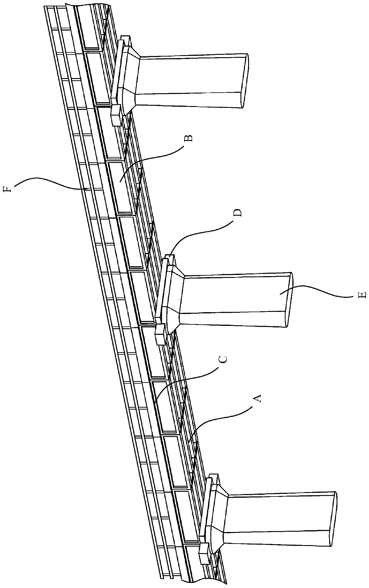
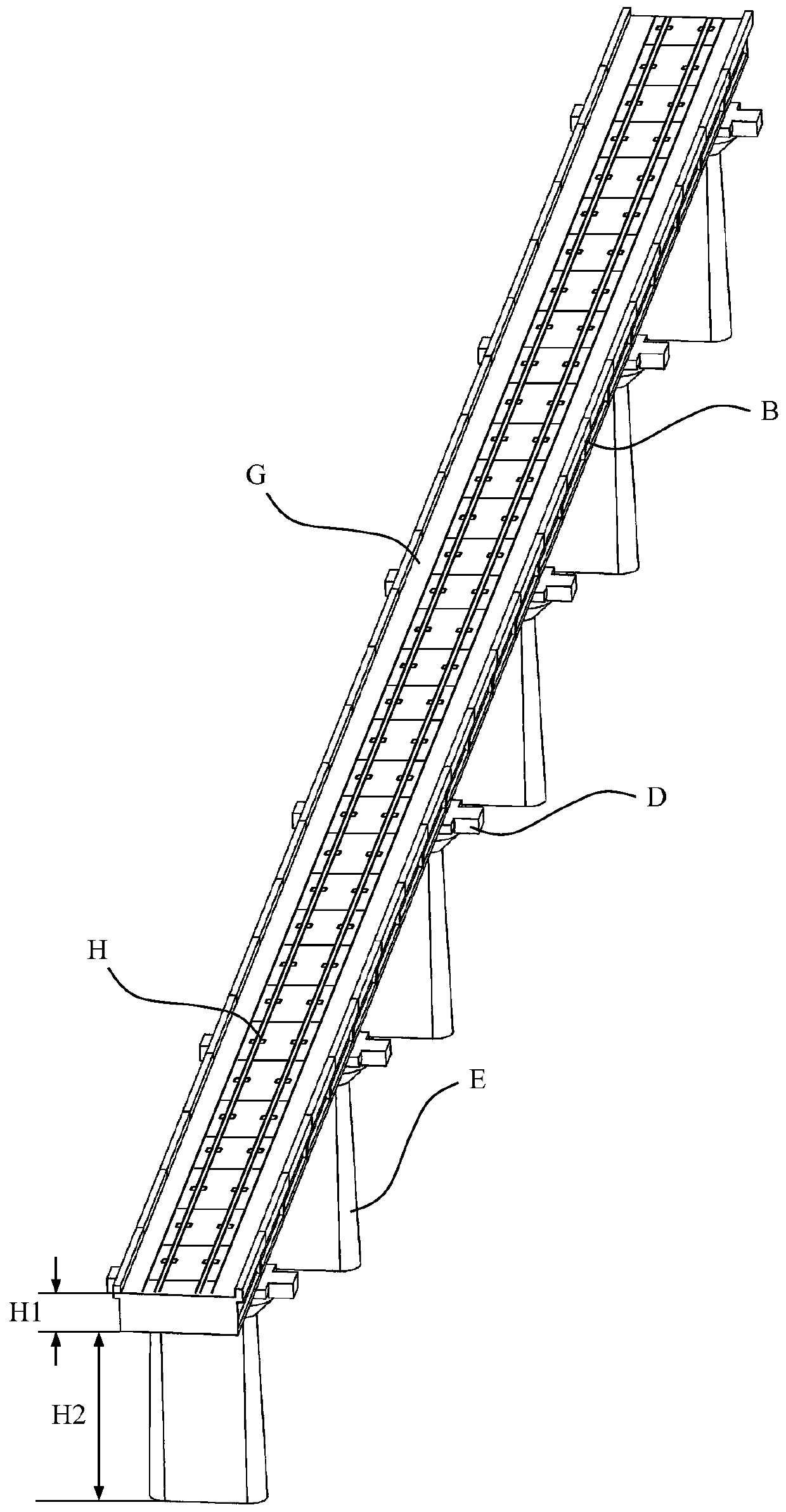
[0089] S300) Manually operate the unmanned aerial vehicle 10 to perform the first inspection operation on the area of the bridge that needs to be inspected, including the bottom surface, outer edge surface, base, pier body and side rails, and plan corresponding inspection routes for each part of the bridge;
[0090] S400) After the inspection route planning for each part of the bridge to be detected is completed, load the corresponding inspection route to the flight control module 16, so as to control the UAV 10 to perform automatic inspection operations.
[0091] Step S100) further includes the follo...
Embodiment 3
[0104] as attached Figure 7As shown, an embodiment of the bridge inspection system of the present invention specifically includes: an unmanned aerial vehicle system 1 and a ground terminal system 2 . The unmanned aerial vehicle system 1 further includes an unmanned aerial vehicle 10, and an airborne data processing unit 11, a pan-tilt camera 12, a flight control module 16, an obstacle avoidance module 110 and a positioning module 111 mounted on the unmanned aerial vehicle 10, and the ground terminal system 2 further comprises a ground station 20. The UAV 10 performs the first inspection operation on the bridge to be detected under manual operation, and collects bridge surface data through the pan-tilt camera 12, and according to the positioning signal obtained by the positioning module 111 (such as: using GNSS signals, Global Navigation Satellite System, The abbreviation of global navigation satellite system, such as GPS, Glonass, Galileo, Beidou satellite navigation system,...
PUM
 Abstract
Description
Claims
Application Information
 - R&D Engineer
- R&D Manager
- IP Professional
- Industry Leading Data Capabilities
- Powerful AI technology
- Patent DNA Extraction
Browse by: Latest US Patents, China's latest patents, Technical Efficacy Thesaurus, Application Domain, Technology Topic, Popular Technical Reports.
© 2024 PatSnap. All rights reserved.Legal|Privacy policy|Modern Slavery Act Transparency Statement|Sitemap|About US| Contact US: help@patsnap.com


