A working method of uranium mine geological mapping to improve the comprehensive exploration efficiency of uranium polymetallics
A working method and multi-metal technology, applied in the field of geological exploration of uranium deposits, to achieve the effect of saving means and increasing the efficiency of ore prospecting
- Summary
- Abstract
- Description
- Claims
- Application Information
AI Technical Summary
Problems solved by technology
Method used
Image
Examples
Embodiment 1
[0042] The technical solution of this embodiment is a method for geological mapping of uranium mines that improves the comprehensive exploration efficiency of uranium polymetallic, and the method includes the following steps in sequence:
[0043] Step 1. Preparation phase
[0044] Step 1.1 Select the route that can pass through the most geological bodies, important structural zones, and representative mineralized zones, and carry out field surveys and profile surveys, so as to initially establish the regional structural framework of the work area, the spatial contact relationship of various geological bodies, and the geological body. Combination sequence, and basically determine the basic mapping unit;
[0045] Step 1.2 In the process of field survey and profile measurement in step 1.1, focus on identification of typical veins, structures and key alterations and collection of typical samples, especially for conventional alterations and uranium and polymetallic mineralization ...
Embodiment 2
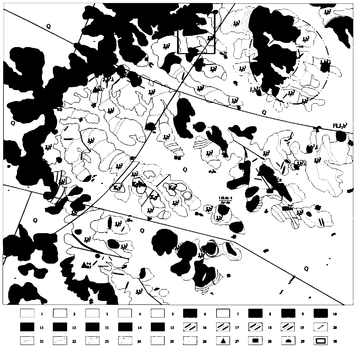
[0065] In order to illustrate the specific implementation of the alteration prospecting method, the Baijiayingzi area is taken as an example to introduce how to improve the efficiency and take into account the polymetallic prospecting work in the process of geological mapping of uranium deposits. Due to different actual conditions in different regions, the implementation and selection of some steps may be different.
[0066] Take the 1:50,000 uranium mine geological survey in Baijiayingzi area as an example.
[0067] The area of Baijiayingzi area is 321.94km 2 . In the process of field survey and profile measurement in the early stage of mapping, the identification and feature identification of typical lithology, veins, structures and alterations were emphasized. Then, based on this understanding, we carried out route geological survey. The biggest feature of this work in uranium mine geological survey is radioactivity measurement. The identification and trace inspection ...
PUM
 Abstract
Description
Claims
Application Information
 - R&D
- Intellectual Property
- Life Sciences
- Materials
- Tech Scout
- Unparalleled Data Quality
- Higher Quality Content
- 60% Fewer Hallucinations
Browse by: Latest US Patents, China's latest patents, Technical Efficacy Thesaurus, Application Domain, Technology Topic, Popular Technical Reports.
© 2025 PatSnap. All rights reserved.Legal|Privacy policy|Modern Slavery Act Transparency Statement|Sitemap|About US| Contact US: help@patsnap.com


