Method for determining track and clock error of navigation satellite
A navigation satellite and orbit technology, applied in the field of satellite navigation, can solve the problems of low data utilization rate, inability to solve the hardware delay deviation of navigation signal equipment of inter-satellite link equipment, etc. Effect
- Summary
- Abstract
- Description
- Claims
- Application Information
AI Technical Summary
Problems solved by technology
Method used
Image
Examples
Embodiment Construction
[0033] Implement the complete and detailed steps of the inventive method to at least comprise following six steps:
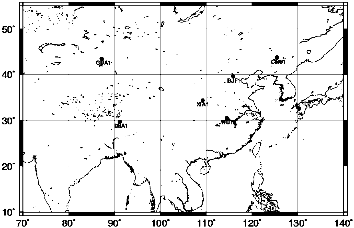
[0034] Step 1. Collect data. Integrate inter-satellite link one-way pseudorange and ground monitoring station observations and other data required for the target operational time period. The ground monitoring station data includes code pseudo-range observation data of at least one frequency point.
[0035]As a further improvement, the ground monitoring station data includes code pseudorange observation data of at least two different frequency points. As a further improvement, the ground monitoring station data includes code pseudorange and carrier phase observation data of at least two different frequency points. The other data include the earth's gravitational field model data, earth rotation parameter data, satellite initial orbit data, satellite forecast clock error data, satellite antenna bias information data, monitoring station receiver antenna PCO&PCV d...
PUM
 Abstract
Description
Claims
Application Information
 - R&D
- Intellectual Property
- Life Sciences
- Materials
- Tech Scout
- Unparalleled Data Quality
- Higher Quality Content
- 60% Fewer Hallucinations
Browse by: Latest US Patents, China's latest patents, Technical Efficacy Thesaurus, Application Domain, Technology Topic, Popular Technical Reports.
© 2025 PatSnap. All rights reserved.Legal|Privacy policy|Modern Slavery Act Transparency Statement|Sitemap|About US| Contact US: help@patsnap.com


