Automatic meander extraction method
An automatic extraction and meandering technology, applied in the application field of geographic information technology, can solve the problems of low degree of automation and achieve the effect of good extraction effect, consistent results and high execution efficiency
- Summary
- Abstract
- Description
- Claims
- Application Information
AI Technical Summary
Problems solved by technology
Method used
Image
Examples
Embodiment Construction
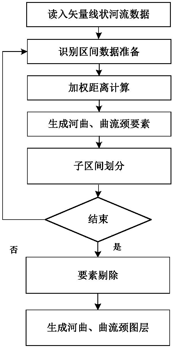
[0045] The technical scheme of the present invention is described in detail below, as figure 1 As shown, this embodiment specifically includes steps:
[0046] Step 1: Read a vector river line layer data whose interval is [start, end], extract a meander neck element and the corresponding meander element based on the shortest weighted distance, and determine the starting point position of the meander interval, which is recorded as [ neckStart,neckEnd]; start and end are the starting point and end point of the extraction interval.
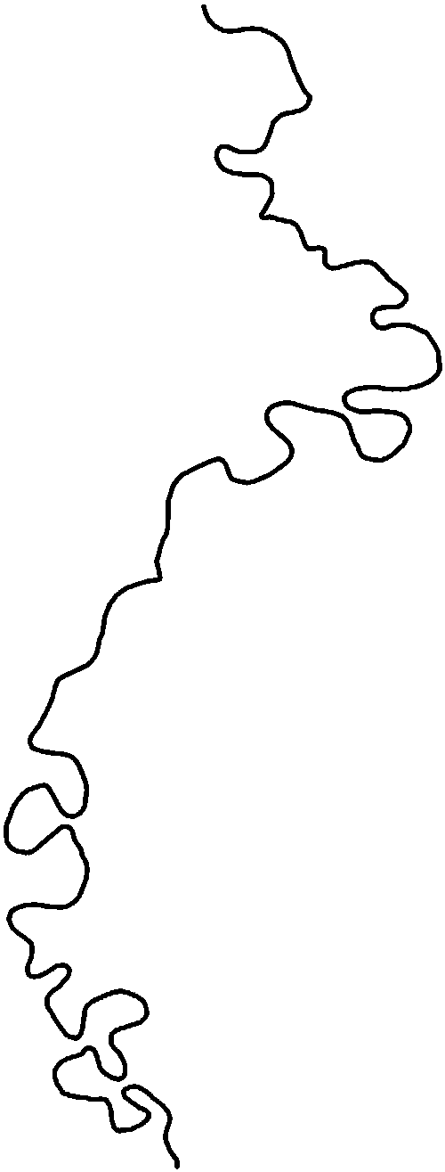
[0047] Among them, the experimental data of this example adopts the 1:500000 Jialing River local line layer data generated by digitization of remote sensing images in Google Earth ( figure 2 ).
[0048] Step 1 specifically includes the following steps:
[0049] (1-1) read a little quantity is n, interval is the vector river line layer data of [start, end], and write collection L; In the present embodiment, n is 497;
[0050] (1-2) setting i=start...
PUM
 Abstract
Description
Claims
Application Information
 - Generate Ideas
- Intellectual Property
- Life Sciences
- Materials
- Tech Scout
- Unparalleled Data Quality
- Higher Quality Content
- 60% Fewer Hallucinations
Browse by: Latest US Patents, China's latest patents, Technical Efficacy Thesaurus, Application Domain, Technology Topic, Popular Technical Reports.
© 2025 PatSnap. All rights reserved.Legal|Privacy policy|Modern Slavery Act Transparency Statement|Sitemap|About US| Contact US: help@patsnap.com


