Warning device used in surveying and mapping

A warning device and technology in operation, applied in the field of surveying and mapping, can solve the problems that surveying and mapping personnel are susceptible to interference and affect the efficiency of surveying and mapping, and achieve eye-catching warning effects, wide adaptability to scenarios, and high environmental protection.

Inactive Publication Date: 2016-11-09
河南华泰规划勘测设计咨询有限公司
View PDF4 Cites 5 Cited by
  • Summary
  • Abstract
  • Description
  • Claims
  • Application Information

AI Technical Summary

Problems solved by technology

In some specific surveying and mapping operations, if there are pedestrians walking back and forth, it will also affect the efficiency of surveying and mapping, and surveyors are easily disturbed

Method used


Image

  • Warning device used in surveying and mapping
  • Warning device used in surveying and mapping

Examples


Embodiment Construction

[0018] In order to enable those skilled in the art to better understand the technical solutions of the present application, the technical solutions of the present invention will be clearly and completely described below in conjunction with the drawings and embodiments. Obviously, the described embodiments are only the technical solutions of the present application. Some of the embodiments, based on the embodiments in this application, all other embodiments obtained by those of ordinary skill in the art without creative efforts shall fall within the scope of protection of this application.

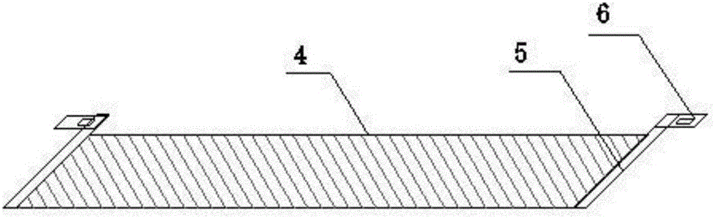
[0019] Such as figure 1 , figure 2 As shown, a warning device used in surveying and mapping operations includes a base 1, a moving wheel 2, an opening groove 3, a solar panel 4, an electric telescopic rod 5, a driving device 6, a telescopic arm 7, and a warning sign 8 , photosensitive sensor 9, human body sensor 10, power supply 11, siren 12, described base 1 bottom is provided with movin...


PUM


Abstract

The invention relates to the field of surveying and mapping, and specifically relates to a warning device used in surveying and mapping. The warning device comprises a base, moving wheels, an open groove, a solar cell panel, an electric telescopic rod, a drive device, a telescopic arm, a warning sign, a photosensitive sensor, a human body sensor, a power supply, and an alarm. The warning device is applicable to a wider range of scenes, and different fonts can be set in order to adapt to corresponding scenes. External light is detected using the photosensitive sensor. When a light signal is detected, the photosensitive sensor makes the drive device started, the drive device drives the electric telescopic rod to stretch out, and the solar cell panel connected to the electric telescopic rod is pushed out. Solar energy is used as the electric energy of the warning device, and the degree of environmental protection is high. The human body sensor detects whether there is a human body signal around the warning device and makes the alarm sound when detecting a human body signal approaching, and a very eye-catching warning effect is achieved.

Description

technical field [0001] The invention relates to the field of surveying and mapping, in particular to a warning device used in surveying and mapping operations. Background technique [0002] Surveying and mapping is based on computer technology, photoelectric technology, network communication technology, space science, and information science, with the global positioning system (GPS), remote sensing (RS), and geographic information system (GIS) as the technical core. Points and boundaries obtain graphics and position information reflecting the current status of the ground through measurement means, which are used for planning, design and administrative management of engineering construction. [0003] At present, surveyors and mappers usually wear reflective vests to improve the visibility and play a certain warning role. However, the height of the surveying and mapping personnel is limited, and the reflective vest is often blocked by vehicles, pedestrians, bushes, etc., and ...

Claims


Application Information

Patent Timeline
IPC IPC(8): G08B21/00H02J7/35H02S20/30G09F9/33
CPCG08B21/00G09F9/33H02J7/35H02S20/30Y02E10/50
Inventor 王超王东风王亚利
Owner 河南华泰规划勘测设计咨询有限公司
Why Eureka
Try Eureka