Landslide hazard degree evaluation method under support of GIS (Geographic Information System) and artificial intelligence technology

A technology supported by artificial intelligence and technology, applied in special data processing applications, instruments, electrical digital data processing, etc., to achieve the effect of improving accuracy and detail, broad application prospects, and overcoming high requirements for sample quality and quantity

Inactive Publication Date: 2015-12-23
NANJING NORMAL UNIVERSITY
View PDF3 Cites 7 Cited by
  • Summary
  • Abstract
  • Description
  • Claims
  • Application Information

AI Technical Summary

Problems solved by technology
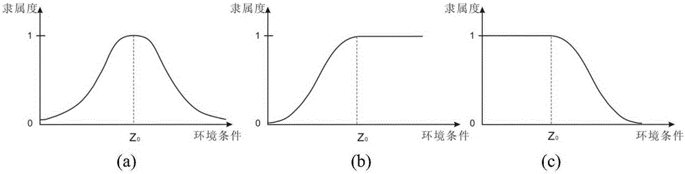
[0004] The technical problem to be solved by the present invention is: to avoid the defects of existing statistical methods, and to provide a landslide risk evaluation method supported by GIS and artificial intelligence technology, the method utilizes high reliability and strong interpretability , Expert experience and knowledge that can r

Method used


Image

  • Landslide hazard degree evaluation method under support of GIS (Geographic Information System) and artificial intelligence technology
  • Landslide hazard degree evaluation method under support of GIS (Geographic Information System) and artificial intelligence technology
  • Landslide hazard degree evaluation method under support of GIS (Geographic Information System) and artificial intelligence technology

Examples


Embodiment Construction

[0025] Combined below as figure 1 The flow chart shown is to open the county (250km 2 ) landslide hazard mapping as an example, to illustrate the specific implementation method of the present invention:

[0026] 1. Discuss with local landslide experts who have many years of field experience to obtain their knowledge on the relationship between landslide risk and geographical environment elements.

[0027] (1) The impact of rock formation and slope aspect on landslide risk. When the inclination of the rock formation is consistent with the slope aspect, and the inclination angle of the rock formation is equal to or slightly smaller than the gradient of the slope, the risk of landslides is high; The risk is reduced.

[0028] (2) The influence of lithology and slope on landslide risk. The lithology that is not suitable for landslides will increase the risk of landslides when the slope increases (slope > 20° meets the conditions, slopes > 30° are prone to landslides, and slopes...


PUM


Abstract

The present invention discloses a landslide hazard degree evaluation method under support of a GIS (Geographic Information System) and an artificial intelligence technology. The method comprises: acquiring knowledge about a relation between a landslide and a geographical environment by interviewing a landslide expert, and screening geographical environment factors according to conditions, such as a degree of influence of the geographical environment factors on the landslide, data source quality and an acquisition difficulty degree, in expert knowledge; extracting quantitative geographical environment factors by use of the GIS; expressing the expert knowledge about the relation between the landslide and the geographical environment factors by use of a fuzzy membership degree function, and constructing a fuzzy inference engine capable of calculating a landslide hazard degree value based on the geographical environment factors; and inputting the quantitative geographical environment factors into the fuzzy inference engine, and calculating spatial distribution of a regional landslide hazard degree. The method disclosed by the prevent invention effectively overcomes the defects such as high sample quality and quantity requirements, and poor interpretability and poor portability of a statistical method, improves precision and the detail level of landslide hazard degree spatial distribution speculation, and has extensive application prospects in the aspects of regional landslide hazard degree analysis and landslide disaster prevention and reduction.

Description

technical field [0001] The invention relates to a landslide risk evaluation method supported by GIS and artificial intelligence technology, and the technical application field is landslide risk evaluation and drawing. Background technique [0002] Landslide is a typical major natural geological disaster. In recent years, with the increasing depth and breadth of human activities, landslide disasters have been raging, causing great economic losses and casualties, which is not conducive to social stability and development. Identifying areas where landslides may occur in the future is an effective way to deal with landslide disasters, and it is also a key content in current landslide disaster research. Landslide risk refers to the possibility of landslides in a certain area under local terrain and other conditions. By mapping the landslide risk, identifying high-risk areas of landslides, and then implementing relevant measures in a targeted manner can effectively reduce the los...

Claims


Application Information

Patent Timeline
IPC IPC(8): G06F19/00
Inventor 朱阿兴王榕勋缪亚敏刘军志曾灿英
Owner NANJING NORMAL UNIVERSITY
Why Eureka
Try Eureka