Ground depression simulation method and system based on cellular automaton
A technology of cellular automata and simulation methods, applied in the field of surface subsidence simulation methods and systems based on cellular automata, can solve problems such as economic losses, environmental damage, and inability to accurately predict surface subsidence, and achieve the goal of improving accuracy Effect
- Summary
- Abstract
- Description
- Claims
- Application Information
AI Technical Summary
Problems solved by technology
Method used
Image
Examples
Embodiment 1
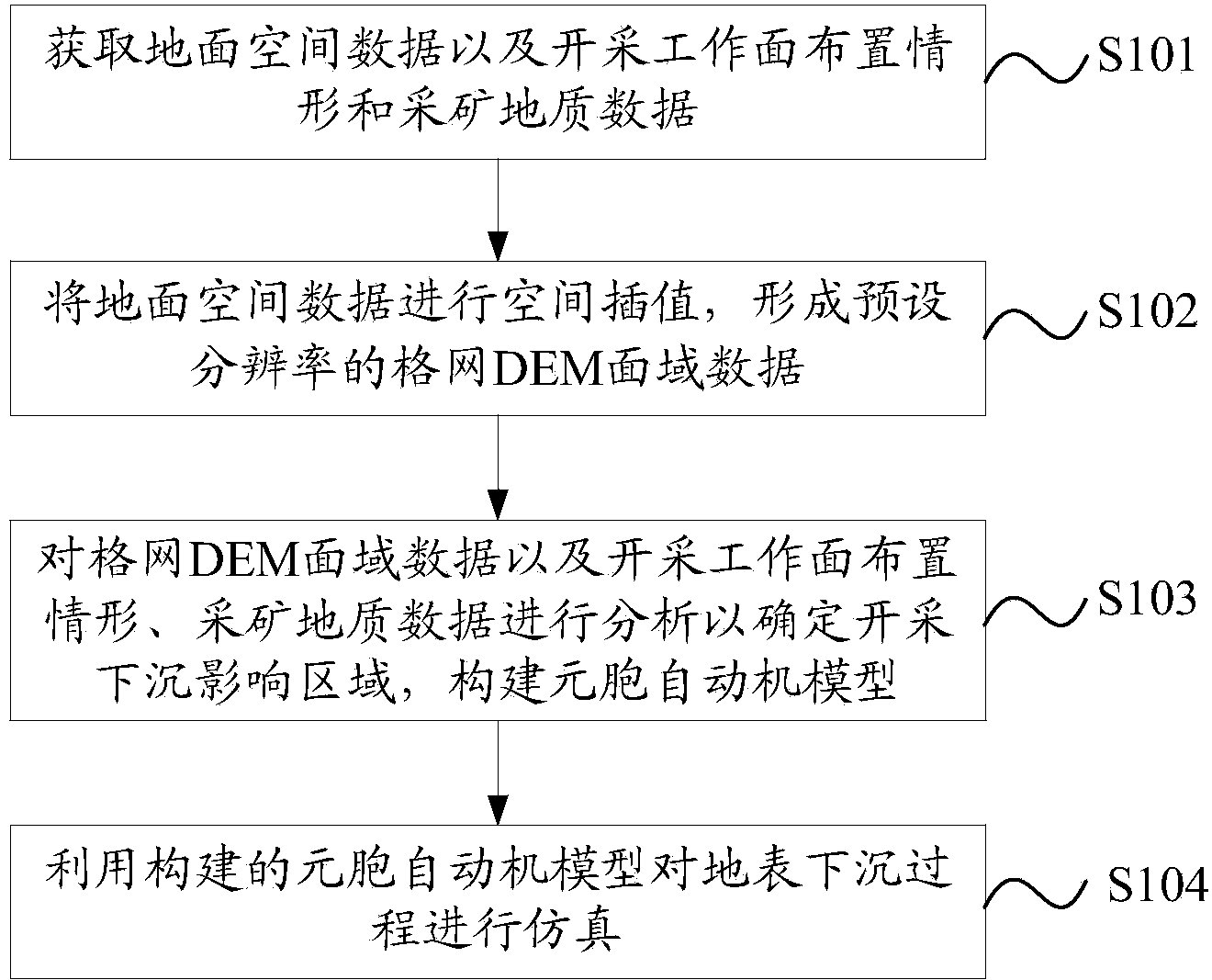
[0050] Please refer to the attached figure 1 , which is a flow chart of a method for simulating land subsidence based on cellular automata disclosed in Embodiment 1 of the present application, mainly includes the following steps:
[0051] S101: Obtain ground space data, mining face layout and mining geological data.
[0052] In this step, the acquired ground space data include: data acquired by ground three-dimensional laser scanning and / or data acquired by photogrammetry and data acquired by settlement observation stations.
[0053] The layout of the mining face may include: geological conditions of burial, structural factors and other natural geological factors, geometric factors of the mining area and technical factors, etc.
[0054] Relevant data for determining geological and mining conditions, such as the mining depth H1 of the downhill mining boundary, the mining depth H2 of the uphill mining boundary, the average mining depth H, and the mining thickness m, etc., where...
Embodiment 2
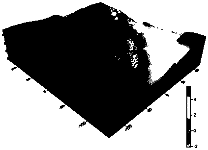
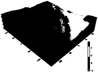
[0107] On the basis of Embodiment 1, the present application provides a flow chart of another land subsidence simulation method based on cellular automata. Compared with Embodiment 1, Embodiment 2 also includes: drawing the simulation result corresponding to The technical feature of the three-dimensional model map of the ground and / or the subsidence contour map and / or the three-dimensional profile map.
[0108] Such as image 3 as shown, image 3 It is a flow chart of a method for simulating land subsidence based on cellular automata disclosed in Embodiment 2 of the present application, including:
[0109] S301: Obtain ground space data, mining face layout and mining geological data.
[0110] Among them, the ground spatial data include: data collected by ground 3D laser scanning and / or data obtained by photogrammetry and data collected by settlement observation stations
[0111] S302: Perform spatial interpolation on the ground spatial data to form grid DEM area data with a...
Embodiment 3
[0124] The above-mentioned embodiments of the present invention have described in detail the simulation method of ground subsidence based on cellular automata. The method of the present invention can be implemented in various forms of systems. Therefore, the present invention also discloses a simulation method based on cellular automata. Surface subsidence simulation system.
[0125] Such as Figure 5 as shown, Figure 5 It is a schematic structural diagram of a land subsidence simulation system based on cellular automata disclosed in Embodiment 3 of the present application. The system includes: an acquisition unit 501, a spatial interpolation unit 502, an analysis unit 503, a construction unit 504, and a simulation unit 505, wherein:
[0126] The acquisition unit 501 is used to acquire ground space data, mining working face layout and mining geological data.
[0127] Wherein, the acquired ground space data include: data acquired by ground three-dimensional laser scanning a...
PUM
 Abstract
Description
Claims
Application Information
 - R&D
- Intellectual Property
- Life Sciences
- Materials
- Tech Scout
- Unparalleled Data Quality
- Higher Quality Content
- 60% Fewer Hallucinations
Browse by: Latest US Patents, China's latest patents, Technical Efficacy Thesaurus, Application Domain, Technology Topic, Popular Technical Reports.
© 2025 PatSnap. All rights reserved.Legal|Privacy policy|Modern Slavery Act Transparency Statement|Sitemap|About US| Contact US: help@patsnap.com


