Optimal Path Finding Method Based on Complicated Terrain
An optimal path, complex terrain technology, applied in special data processing applications, instruments, electrical digital data processing, etc., to achieve the effect of less energy consumption, simple method and cost saving
- Summary
- Abstract
- Description
- Claims
- Application Information
AI Technical Summary
Problems solved by technology
Method used
Image
Examples
Embodiment Construction
[0023] The present invention will be described in detail below in combination with specific implementation methods and accompanying drawings.
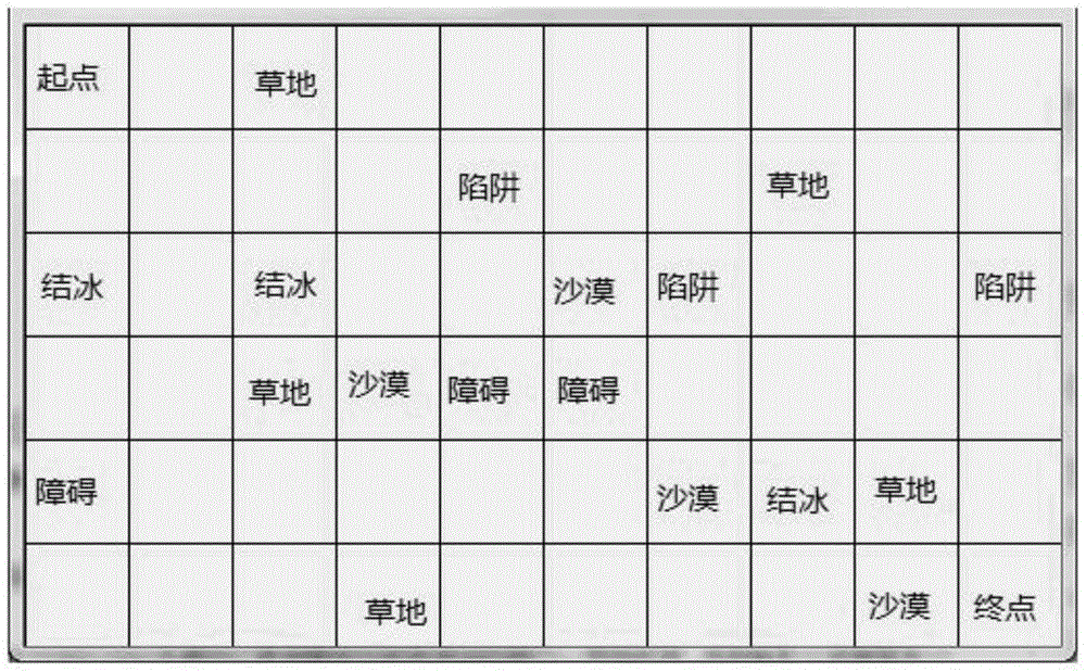
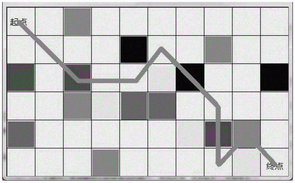
[0024] Based on the optimal path finding method of complex terrain, the map is divided into m*n rectangular grids, and each grid is assigned one of the 6 terrain attributes (that is, different resistance coefficients), and the starting and ending rectangles are set. By comparing the actual energy consumption from a certain rectangle to the surrounding rectangle and the planned energy consumption from the surrounding rectangle to the destination rectangle, determine which rectangle to go to next; in addition, when it appears that the total energy consumption of one path (A path) is higher than that of another A path (path B) consumes more energy in total (even at the beginning of the judgment, each step of path A consumes the least energy), and finally, a path with less total energy consumption should be chosen; finally, for the determin...
PUM
 Abstract
Description
Claims
Application Information
 - R&D
- Intellectual Property
- Life Sciences
- Materials
- Tech Scout
- Unparalleled Data Quality
- Higher Quality Content
- 60% Fewer Hallucinations
Browse by: Latest US Patents, China's latest patents, Technical Efficacy Thesaurus, Application Domain, Technology Topic, Popular Technical Reports.
© 2025 PatSnap. All rights reserved.Legal|Privacy policy|Modern Slavery Act Transparency Statement|Sitemap|About US| Contact US: help@patsnap.com


