Judgment method of animal traffic hotspots based on habitat factors

An animal and habitat technology, applied in special data processing applications, instruments, electrical digital data processing, etc., can solve problems such as lack of research basis for animal habitat conditions in construction

Inactive Publication Date: 2013-06-19
CHINA ACAD OF TRANSPORTATION SCI +1
View PDF1 Cites 15 Cited by
  • Summary
  • Abstract
  • Description
  • Claims
  • Application Information

AI Technical Summary

Problems solved by technology

Although bridges, tunnels, culverts, etc. currently designed in highway construction can be used by animals to a certain extent, there is generally no research basis for animal habitat conditions in their construction.

Method used


Image

  • Judgment method of animal traffic hotspots based on habitat factors
  • Judgment method of animal traffic hotspots based on habitat factors
  • Judgment method of animal traffic hotspots based on habitat factors

Examples


Embodiment example 1

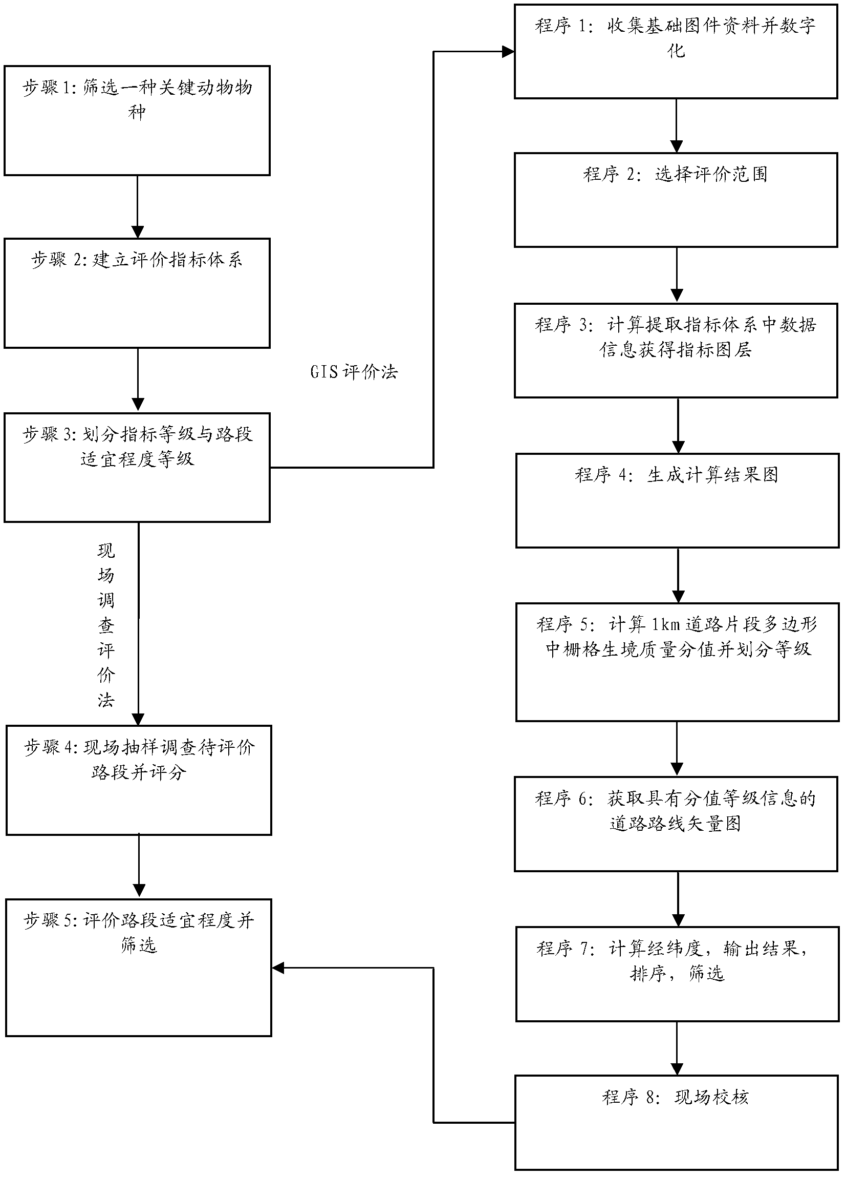
[0108] Implementation Case 1: Analysis of hotspots of oriental roe deer by on-site investigation and analysis method for a single species

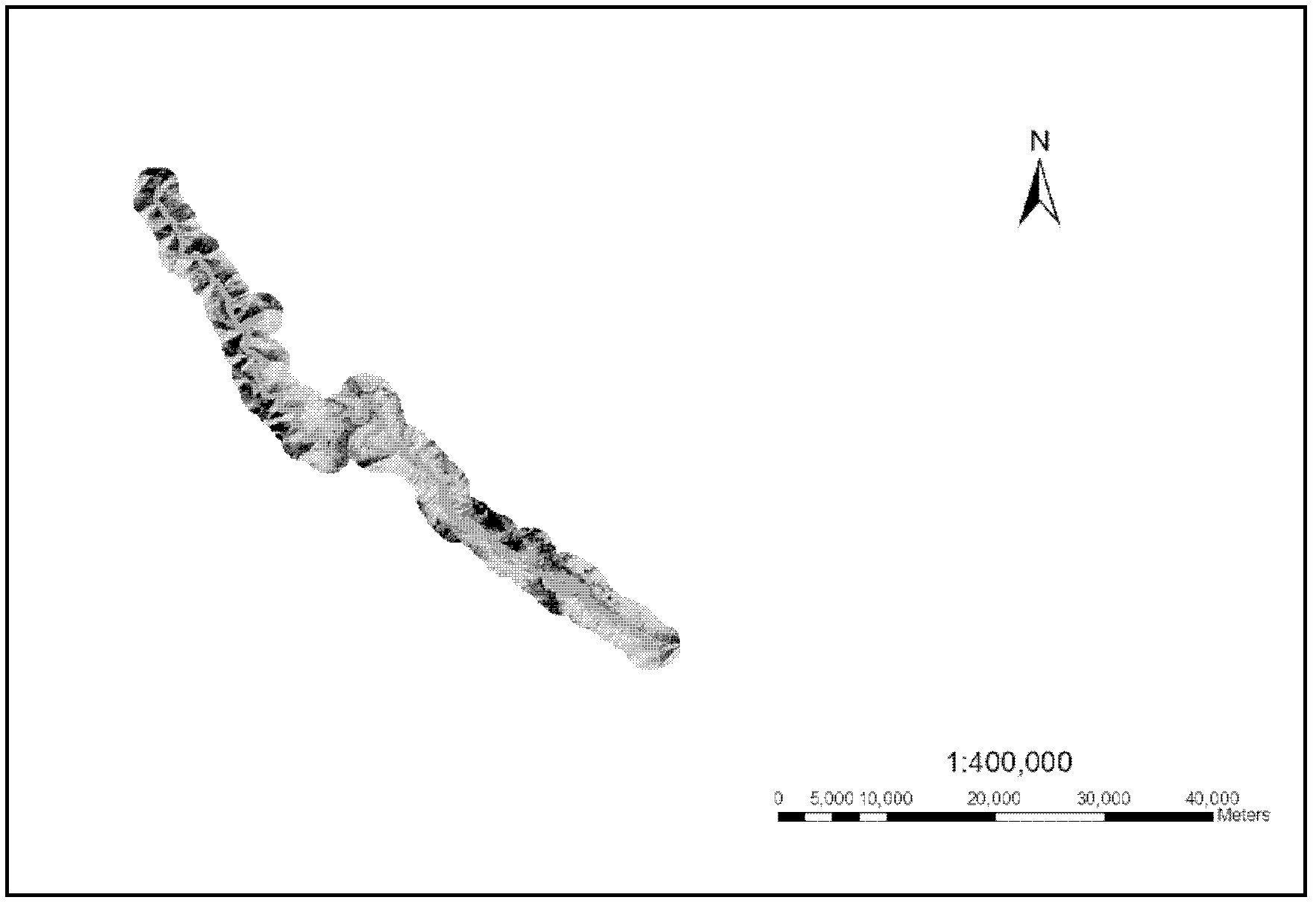
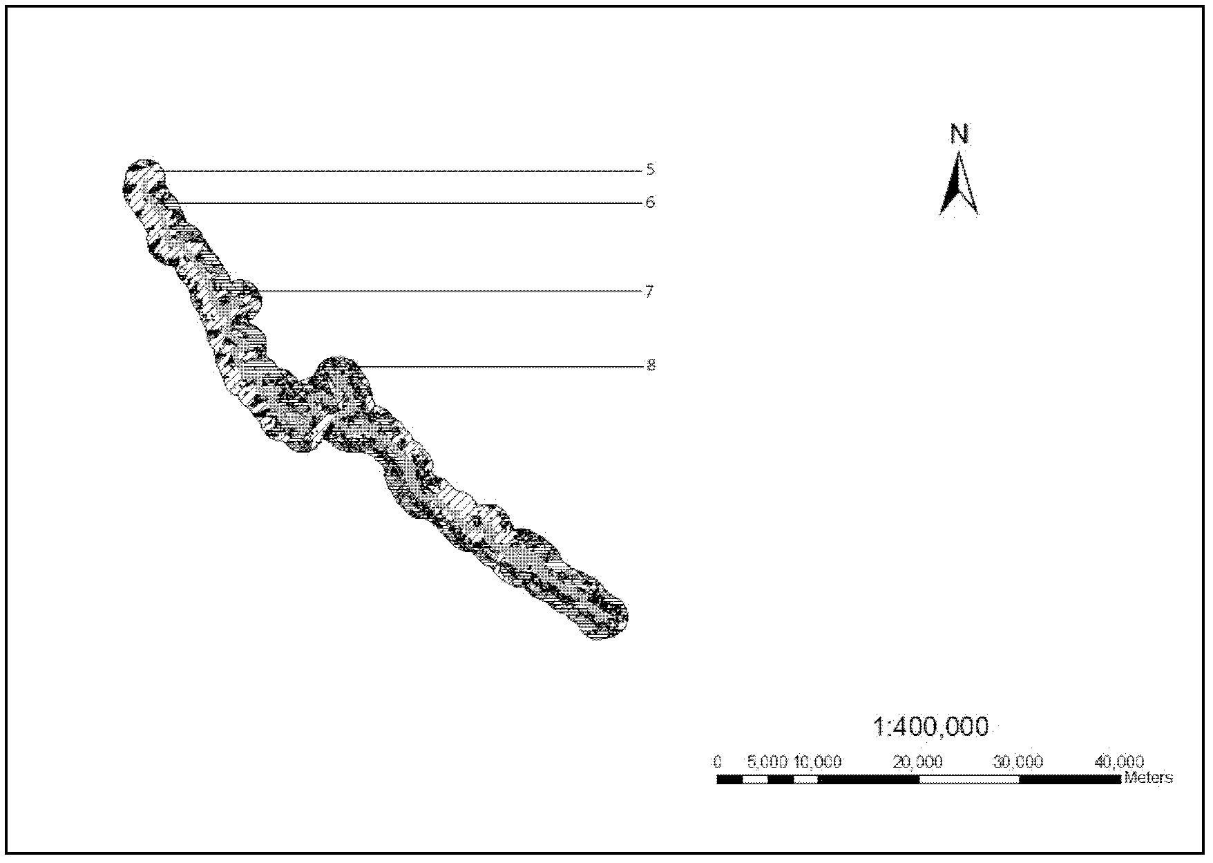
[0109] Such as Figure 2-4 As shown, taking the K70-K90 section of National Highway 214 in Sanjiang Bing District passing through the Baima Snow Mountain Nature Reserve as an example, the current reconstruction of National Highway 214 includes this section, and the steps of judging hot spots for animal traffic are as follows :

[0110] Step 1: There is relatively little information on the distribution of animals along the National Highway 214. The existing information is mainly related to the "Baima Snow Mountain Nature Reserve". According to the records in this document, the national first-class protected animals in the reserve include the Yunnan golden monkey and the golden leopard. , forest musk deer, horse musk deer, golden eagle, etc.; national second-class protected animals include serow, goral, black bear, brown bear, snow pheasant,...

Embodiment example 2

[0128] Implementation Case 2 Using Remote Sensing and GIS Analysis to Analyze the Passage Hotspots of Oriental Roe Deer

[0129] Procedure 1: Use TNC's GIS digital platform, which integrates the distribution of water systems along the National Highway 214, village settlements, 1:250000 topographic maps and vegetation coverage maps, road route maps, and land use maps;

[0130] Procedure 2: According to the literature review "Baima Snow Mountain Nature Reserve", the wild animals in the reserve include the national first-class protected animals, such as Yunnan golden monkey, golden leopard, forest musk deer, horse musk deer, golden eagle, etc.; the national second-class protected animals include iguana Antelope, goral, black bear, brown bear, snow pheasant, red-bellied pheasant, Tibetan eared pheasant, etc. Combined with the survey of residents along the old road 214 of the original lane, roe deer is more common, and the main distribution in my country is Oriental roe deer (Capre...

Embodiment example 3

[0142] Implementation case 3: Using remote sensing and GIS analysis methods to analyze the comprehensive traffic hotspots of three species: roe deer, ring-necked pheasant and golden monkey

[0143] First use the method in Case 2 to analyze the hotspots of the Oriental roe deer, and then use remote sensing and GIS analysis methods to analyze the hotspots of the ring-necked pheasant. The suitable habitat for the Yunnan snub-nosed monkey is directly analyzed using the existing data. The specific analysis results are as follows.

[0144] Comprehensively considering that there are many protected birds of Galliformes in this area, including snow pheasant, red-bellied pheasant, Tibetan eared pheasant, etc., but the flying ability of galliformes is relatively weak, and the degree of interference by roads is relatively large. In addition to selecting roe deer as its key species, ring-necked pheasant (Phasianus coichicus) was added as a key species. Consider the passage needs of differe...


PUM

PropertyMeasurementUnit
Altitudeaaaaaaaaaa

Abstract

The invention discloses a judgment method of animal traffic hotspots based on habitat factors, wherein the judgment method of the animal traffic hotspots based on the habitat factors can be used when animal base information is lacked in the prospective design which relates to mountain roads. The judgment method of the animal traffic hotspots based on the habitat factors is capable of comprehensively considering habitat characteristic requests of region key wild animals from four habitat factors which include terrain along the road, vegetation, resources and man-made interference and evaluating habitat quality of animals along the road. Habitat comprehensive assessment scores of different areas are calculated and evaluated along the direction of road route, and then the scores of different areas are counted up and ordered. The road whole line can be divided into an unsuitable road section, an edge road section, an ordinary road section and a suitable road section four levels. The position of the suitable road section of the level regions is decided as the animal traffic hotspots. The judgment method of the animal traffic hotspots based on the habitat factors is capable of synthesizing the habitat commands of more than two kinds of animals and further bringing into road design factors. Thus the judgment method of the animal traffic hotspots based on the habitat factors can be suitable for protecting sensitive habitats of the wild animals before the road is built or when the road is reconstructed and expanded, choosing channels and optimizing road facilities and is a new method with application and progresses and suitable for being widely popularized and applied in industrial communities.

Description

technical field [0001] The invention relates to a method for judging wild animal traffic hotspots in the field of highway survey and design in mountainous areas, in particular to a method for judging animal traffic hotspots based on habitat factors. Background technique [0002] In the construction of mountain roads, the use of designed bridges or tunnels is a necessary means for many animals to cross roads, especially expressways. However, many bridges and tunnels are not designed to consider the needs of animals. The important confusion faced by designers is that It is not possible to grasp exactly which sections of the road the animals choose to cross. Utilizing the addition of animal-passing facilities in "hot spot" areas is a measure widely adopted both at home and abroad: [0003] Currently, there are two main methods for determining “hot spot” areas: [0004] (1) Tracking method of target protected animals [0005] That is, for the target protected species, a follo...

Claims


Application Information

Patent Timeline
IPC IPC(8): G06F19/00
Inventor 陈学平关磊王云陈济丁房锐张发春
Owner CHINA ACAD OF TRANSPORTATION SCI
Why Eureka
Try Eureka