Synthetic aperture radar (SAR) tomography three-dimensional imaging method
A three-dimensional imaging and height technology, applied in the direction of reflection/re-radiation of radio waves, use of re-radiation, measurement devices, etc., can solve the problems of poor operation efficiency and unguaranteed robustness, and achieve good reconstruction accuracy and high reconstruction. Robustness and high computational efficiency
- Summary
- Abstract
- Description
- Claims
- Application Information
AI Technical Summary
Problems solved by technology
Method used
Image
Examples
Embodiment Construction
[0025] The present invention will be further described below in conjunction with the accompanying drawings and specific embodiments.
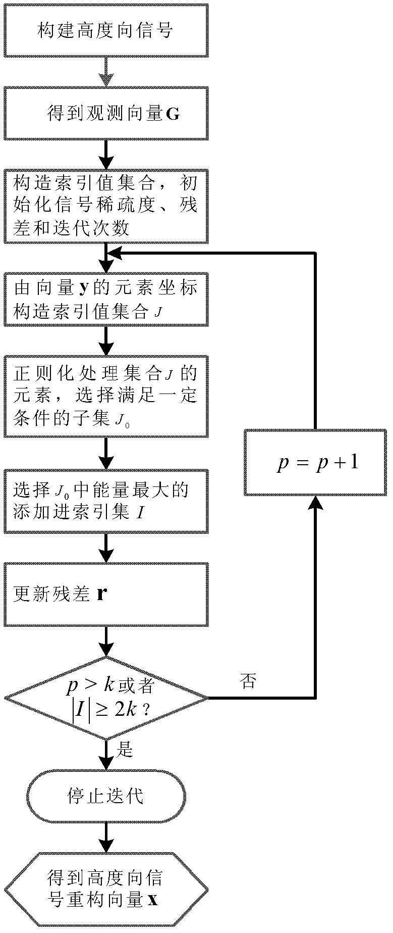
[0026] SA R tomographic three-dimensional imaging method of the present invention, such as figure 1 As shown, it specifically includes the following steps:
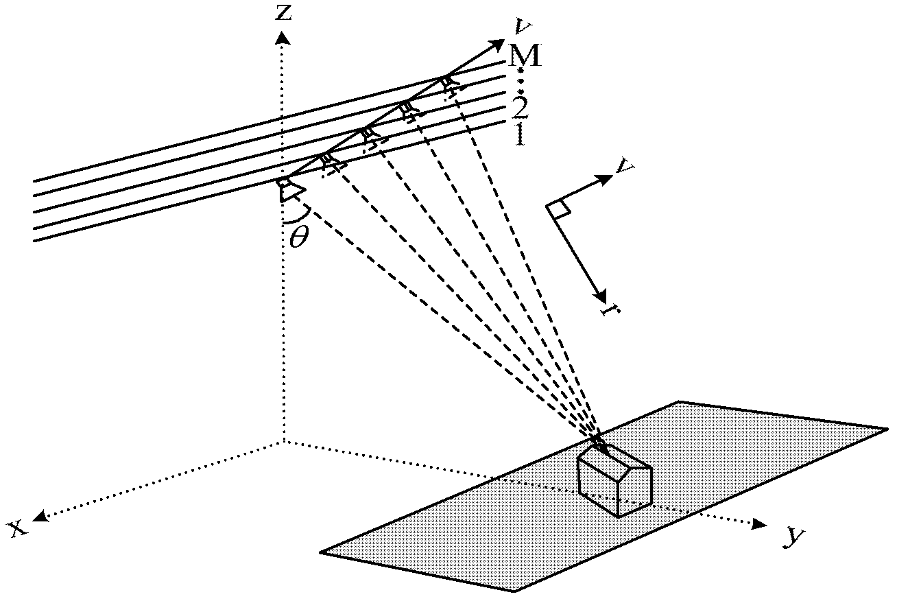
[0027] Step 1. The SAR platform collects echo data m times from the same measured area at different times and different track positions. Then use the existing classical two-dimensional SAR imaging method that preserves the phase information to obtain the two-dimensional complex image of each flight. Azimuth-distance pixel points in the two-dimensional complex image (x 0 ,r 0 ) The gray value obtained in the mth flight of ) is as follows:
[0028] g ( x 0 , r 0 , s m ) = ...
PUM
 Abstract
Description
Claims
Application Information
 - R&D
- Intellectual Property
- Life Sciences
- Materials
- Tech Scout
- Unparalleled Data Quality
- Higher Quality Content
- 60% Fewer Hallucinations
Browse by: Latest US Patents, China's latest patents, Technical Efficacy Thesaurus, Application Domain, Technology Topic, Popular Technical Reports.
© 2025 PatSnap. All rights reserved.Legal|Privacy policy|Modern Slavery Act Transparency Statement|Sitemap|About US| Contact US: help@patsnap.com


