
Guided Geometry Extraction for Localization of a Device

a technology of localization and geometry extraction, applied in the field of guided geometry, can solve the problems of merely representational illustrations and may not be drawn to scal

Active Publication Date: 2017-05-11
HERE GLOBAL BV
View PDF12 Cites 14 Cited by
  • Summary
  • Abstract
  • Description
  • Claims
  • Application Information

AI Technical Summary

Benefits of technology

This approach provides improved positioning accuracy over conventional methods, allowing for lane-level or road-level precision without the need for expensive graphics processing units, and can function in the absence of GPS data, reducing computation costs and enabling low-cost visualization technology.

Problems solved by technology

Additionally, the illustrations are merely representational and may not be drawn to scale.

Method used


Image

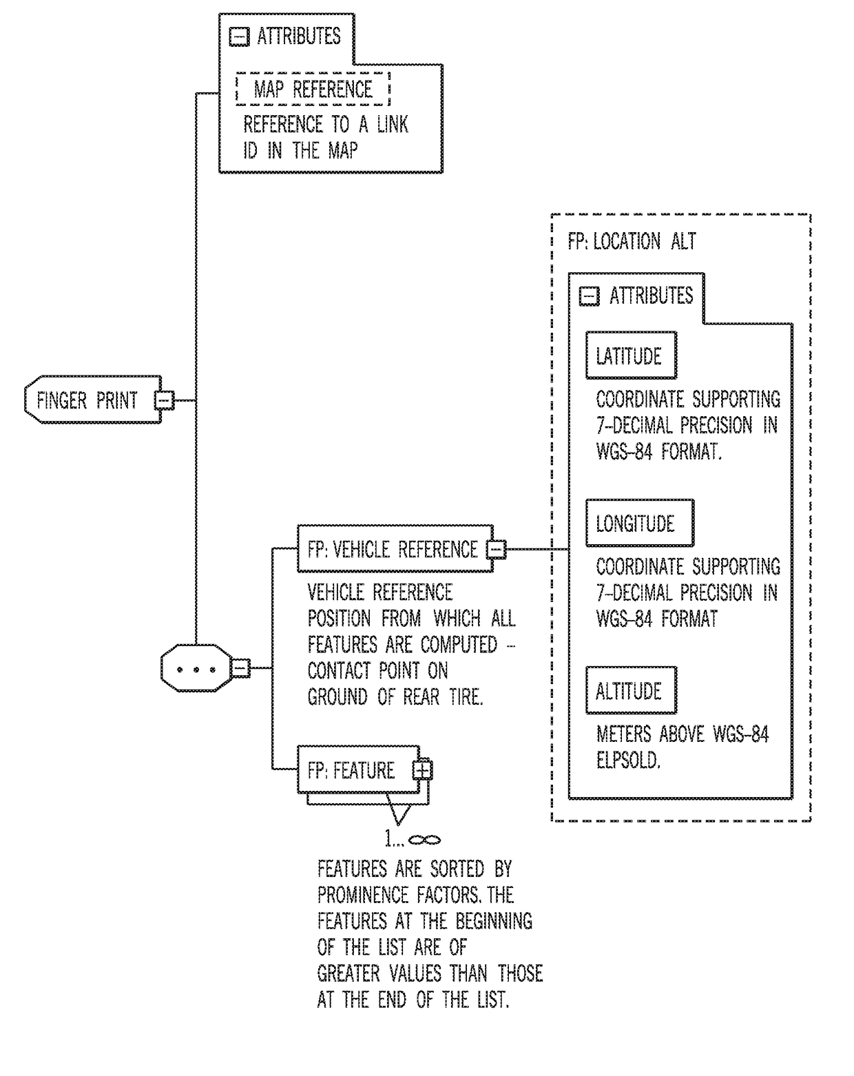
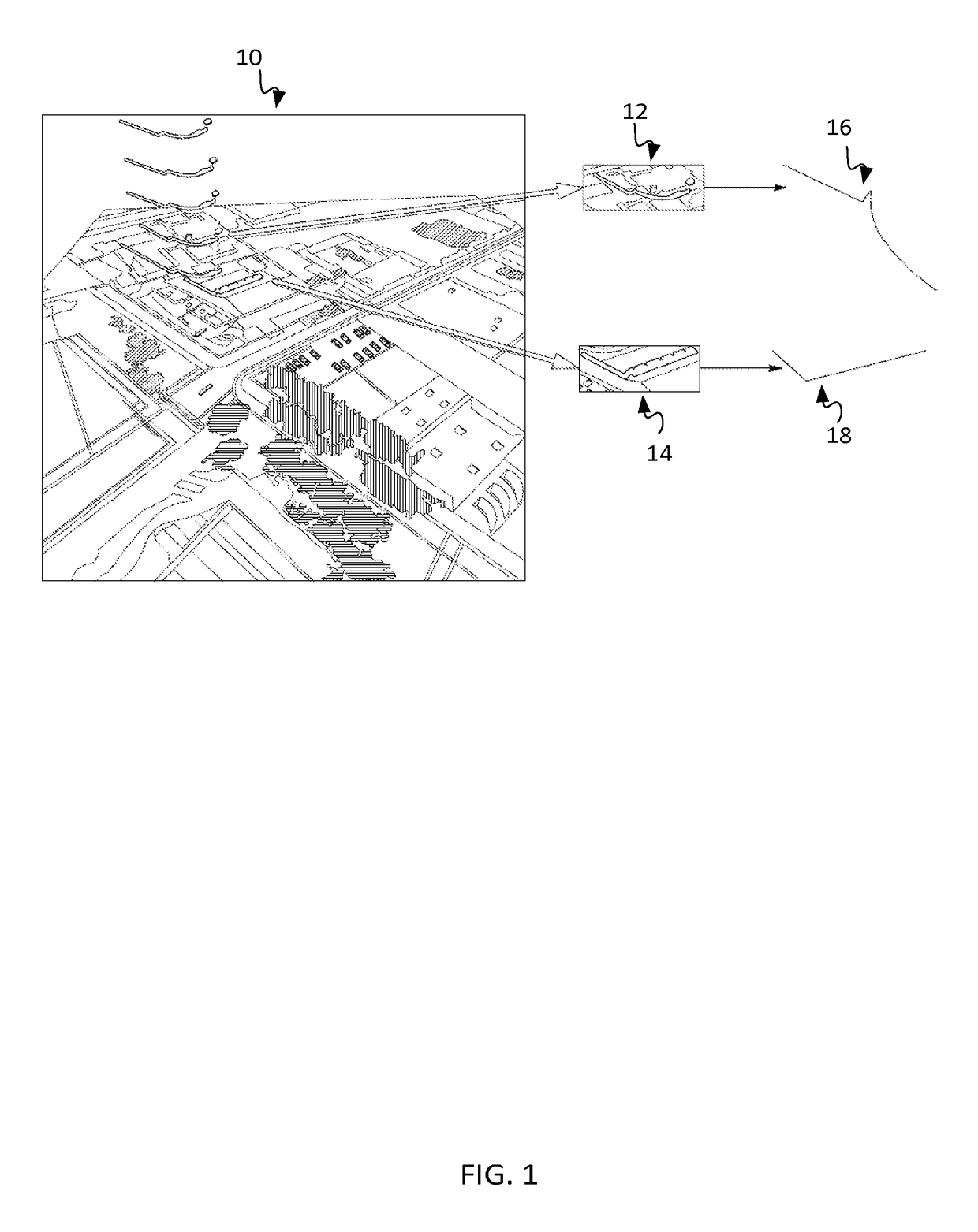
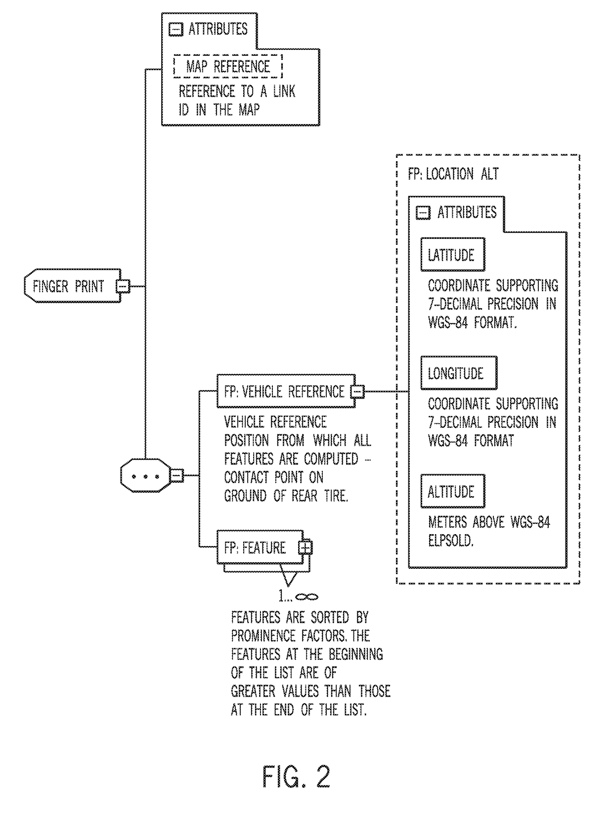
  • Guided Geometry Extraction for Localization of a Device
  • Guided Geometry Extraction for Localization of a Device
  • Guided Geometry Extraction for Localization of a Device

Examples


Embodiment Construction

[0019]The location or positioning of an end-user device may be determined through the derivation of coordinates from two-dimensional (2D) feature geometries representing real objects in a path (e.g., road) network. An end-user device may refer to a device operated or used by a consumer. Non-limiting examples of end-user devices, as used herein, include vehicles (e.g., cars, trucks, buses, trains, motorcycles, boats, ships), as well as portable electronic devices such as mobile phones, laptop computers with wireless capabilities, video recording devices, scanning devices, messaging devices, personal digital assistants, and wearable computers (e.g., smart watches). Feature geometries may refer to two-dimensional shapes such as lines, arcs, and splines (e.g., B-splines) extracted from three-dimensional structures around the device. For example, the 2D feature geometries may be extracted from three-dimensional structures such as building facades, road signs, polls, plants (e.g., trees),...


PUM


Abstract

Systems, apparatuses, and methods are provided for determining the geographic location of an end-user device (e.g., vehicle, mobile phone, smart watch, etc.). An end-user device may collect a depth map at a location in a path network. Feature geometries may be obtained from a fingerprint database in proximity to the location in the path network. The depth map may be oriented with the feature geometries of the fingerprint. Control points from an extracted feature geometry in the depth map may be compared with control points within the fingerprint. Match rates may be calculated based on the comparison, and a geographic location of the end-user device may be determined when an overall match rate exceeds a minimum threshold value.

Description

[0001]This application is a continuation under 37 C.F.R. §1.53(b) and 35 U.S.C. §120 of U.S. patent application Ser. No. 14 / 658,618 filed Mar. 16, 2015, which is incorporated by reference in its entirety.FIELD[0002]The following disclosure relates to determining the geographic location of an end-user device (e.g., vehicle, mobile phone, smart watch, etc.) using a fingerprint database, in some cases, in the absence of global positioning system (GPS) data.BACKGROUND[0003]Vehicle localization using Global Positioning Systems (GPS), local area wireless technology (e.g., WiFi), and short-wavelength radio waves (e.g., Bluetooth) may be imprecise. In the case of GPS, multi-pathing causes timing variations for signals received by the vehicle. In the case of WiFi and Bluetooth, signal strengths are an unreliable means for localization due primarily to occlusion and lack of precision in the location of the transmitting stations in three-dimensional (3D) space. In such cases, the references up...

Claims


Application Information

Patent Timeline
Patent Type & Authority Applications(United States)
IPC IPC(8): G06K9/00G06T7/73G06F17/30G06T7/33G06K9/62G08G1/123G06K9/52G06T7/50
CPCG06K9/00791G06K9/52G06T7/73G06T7/50G06T7/337G06K9/6267G06T2207/30252G08G1/123G06F17/30259G06F17/30061G06T2207/10028G06K2209/27G06K9/00476G06T7/70G01S17/06G01C21/3867G01C21/3844G01C21/005G01C21/28G06F16/444G06F16/5854G06V20/176G06V20/39G06V20/56G06V20/647G06V30/422G06V40/12G06V40/1365G06V2201/07G06V2201/10G06F18/24G01C21/30G06F3/0346
Inventor MODICA, LEOSTENNETH, LEON
Owner HERE GLOBAL BV
Learn More