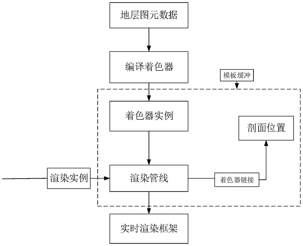
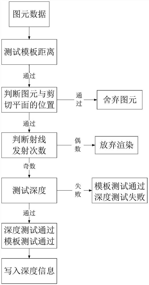
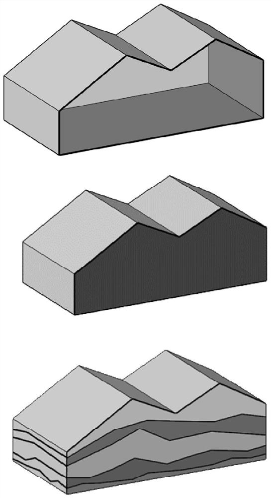
Three-dimensional geologic model real-time sectioning and rendering processing method
A 3D geology and model technology, applied in the field of 3D geological model visualization, can solve the problems of safety hazards, difficulties, and low efficiency of installation controls, and achieve the effect of cutting analysis and increasing the generation speed
- Summary
- Abstract
- Description
- Claims
- Application Information
AI Technical Summary
Problems solved by technology
Method used
Image
Examples
Embodiment Construction
[0017] The following will clearly and completely describe the technical solutions in the embodiments of the present disclosure with reference to the accompanying drawings in the embodiments of the present disclosure. Apparently, the described embodiments are only part of the embodiments of the present disclosure, not all of them. The following description of at least one exemplary embodiment is merely illustrative in nature and in no way serves as any limitation of the disclosure, its application or uses. Based on the embodiments in the present disclosure, all other embodiments obtained by persons of ordinary skill in the art without making creative efforts belong to the protection scope of the present disclosure.
[0018] The geological section map is a map that cuts the earth into pieces along a given direction according to a certain scale, reflects the rock formations and structural forms on the cut section, and shows the geological phenomena and their relationship on the ge...
PUM
 Abstract
Description
Claims
Application Information
 - R&D
- Intellectual Property
- Life Sciences
- Materials
- Tech Scout
- Unparalleled Data Quality
- Higher Quality Content
- 60% Fewer Hallucinations
Browse by: Latest US Patents, China's latest patents, Technical Efficacy Thesaurus, Application Domain, Technology Topic, Popular Technical Reports.
© 2025 PatSnap. All rights reserved.Legal|Privacy policy|Modern Slavery Act Transparency Statement|Sitemap|About US| Contact US: help@patsnap.com


