A remote sensing extraction method for oil palm forest

An extraction method and oil palm forest technology, applied in image analysis, image enhancement, instruments, etc., can solve the problems of difficult data acquisition, low extraction accuracy, and failure to use oil palm forest remote sensing extraction methods, so as to avoid confusion and achieve high precision The effect of automatic extraction

Active Publication Date: 2021-03-30
INST OF GEOGRAPHICAL SCI & NATURAL RESOURCE RES CAS
View PDF8 Cites 0 Cited by
  • Summary
  • Abstract
  • Description
  • Claims
  • Application Information

AI Technical Summary

Problems solved by technology

[0003] The existing remote sensing extraction methods for oil palm forests mainly have the following two problems: (1) Using high spatial resolution remote sensing images for extraction, when monitoring large areas, the cost is very high, the amount of data processing is large, and due to the revisit cycle Short, and the data are difficult to obtain (Dong R, Li W, Fu H, et al. Oil palm plantation mapping from high-resolution remote sensing images using deep learning [J]. International Journal of Remote Sensing, 2020, 41(5): 2022-2046.); (2) The existing mid-section image extraction only uses the spectral information of oil palm, resulting in low extraction accuracy
[0005] Retrieval of Chinese and foreign patent documents, etc., does not use this multi-feature fusion remote sensing extraction method for oil palm forests in the prior art

Method used


Image

  • A remote sensing extraction method for oil palm forest
  • A remote sensing extraction method for oil palm forest
  • A remote sensing extraction method for oil palm forest

Examples


Embodiment Construction

[0038] The specific technical solutions of the present invention will be further described below in conjunction with the accompanying drawings.

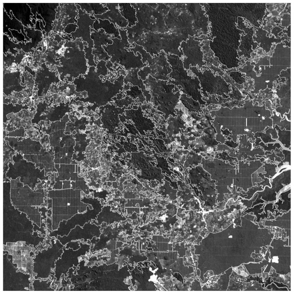
[0039] In the present embodiment, the remote sensing images processed by the method of the present invention are American Landsat8 multi-spectral images and panchromatic images, see appendix figure 2 . The spatial resolution of the multispectral image is 30 meters, the spatial resolution of the panchromatic image is 15 meters, and the image size is 2274 rows × 2274 columns. 0.450-0.515μm), green band (0.525-0.600μm), red band (0.630-0.680μm), near-infrared band (0.845-0.885μm), SWIR 1 band (1.560-1.660μm), SWIR 2 band ( 2.100-2.300μm), the radiation quantization level is 16bit. The DEM used is 30m ASTER GDEM data.

[0040] Such as figure 1 Shown, the concrete steps of oil palm forest remote sensing extraction method of the present invention are as follows:

[0041] 1) Use the NDVI feature of the segmented remote sensing image t...


PUM


Abstract

The invention relates to a method for extracting oil palm forest remote sensing, which is characterized in that it comprises the following steps: 1) performing image segmentation on remote sensing images, calculating the normalized vegetation index NDVI of each patch after segmentation, and extracting NDVI in the remote sensing images Vegetation area; 2) Extract straight line segments in different directions in the remote sensing image, and calculate the line segment perpendicularity of each patch in turn; 3) Set the line segment verticality threshold of the patch, for the patch in the vegetation area, it will be greater than the verticality of the line segment 4) According to the DEM elevation data, remove the patches that do not belong to the oil palm forest growth area in the suspected oil palm forest area, and obtain the extracted oil palm forest area. The main feature of the present invention is to combine the spectral characteristics, terrain characteristics and vertical characteristics of road segments of the oil palm forest to avoid confusion between the oil palm forest and other woodlands, shrubs and grasses, so as to realize high-precision extraction of the oil palm forest.

Description

technical field [0001] The invention belongs to the technical field of digital image processing, in particular to a remote sensing extraction method for oil palm forests. Background technique [0002] Palm oil is a very good substitute for edible oils, and its saturated fatty acid content is lower than that of butter, which can meet the needs of the human body more healthily. The oil palm that produces palm oil generally produces about 200 kilograms of palm oil per mu, which is five times higher than that of peanuts and nearly 10 times that of soybeans. It is known as the "king of oil in the world". But on the other hand, the massive expansion of oil palm forests has also brought about ecological and environmental problems such as carbon emissions and a sharp decline in biodiversity. Carrying out the spatial distribution monitoring of oil palm forest is of great significance to the management of oil palm forest. However, traditional field surveys have problems such as time...

Claims


Application Information

Patent Timeline
Patent Type & Authority Patents(China)
IPC IPC(8): G06K9/00G06T7/11G06T7/136
CPCG06T7/136G06T7/11G06T2207/10032G06T2207/30188G06V20/188
Inventor 王志华
Owner INST OF GEOGRAPHICAL SCI & NATURAL RESOURCE RES CAS
Why Eureka
Try Eureka