
Surface temperature simulation method with spatial continuity

A technology of spatial continuity and surface temperature, which is applied in the field of remote sensing simulation, can solve problems such as lack of spatial continuity, non-existence, and disregard of lateral heat conduction, and achieve the effect of increasing speed

Active Publication Date: 2020-05-15
BEIHANG UNIV
View PDF5 Cites 0 Cited by
  • Summary
  • Abstract
  • Description
  • Claims
  • Application Information

AI Technical Summary

Problems solved by technology

At present, in terms of heat transfer, it is generally considered that the earth’s surface is a semi-infinite object, and the heat conduction process is simplified to a one-dimensional longitudinal heat conduction model, and the temperature is solved through the longitudinal heat balance equation without considering the horizontal heat conduction in the horizontal direction. There is a lack of spatial continuity, and it does not have the conditions to generate a spatially continuous surface temperature distribution map for thermal infrared remote sensing services

Method used


Image

  • Surface temperature simulation method with spatial continuity
  • Surface temperature simulation method with spatial continuity
  • Surface temperature simulation method with spatial continuity

Examples


Embodiment Construction

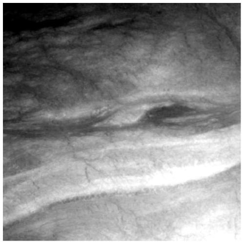
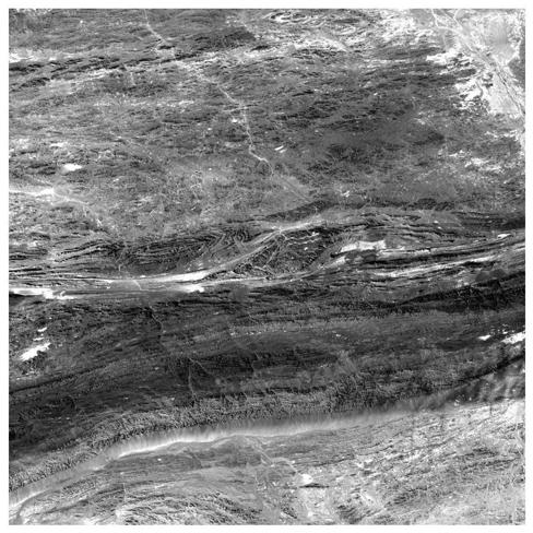
[0038] In order to better illustrate the simulation method of the large-scale high-spatial-resolution temperature distribution map involved in the present invention, the DEM data of the ASTER satellite, the short-wave reflectance image of HYMAP, the long-wave emissivity image obtained by using the simulation of the USGS spectral library and the use of ASTER SPECTRAL LIBRARY performs land surface temperature simulation on the classification map of ground object classification.

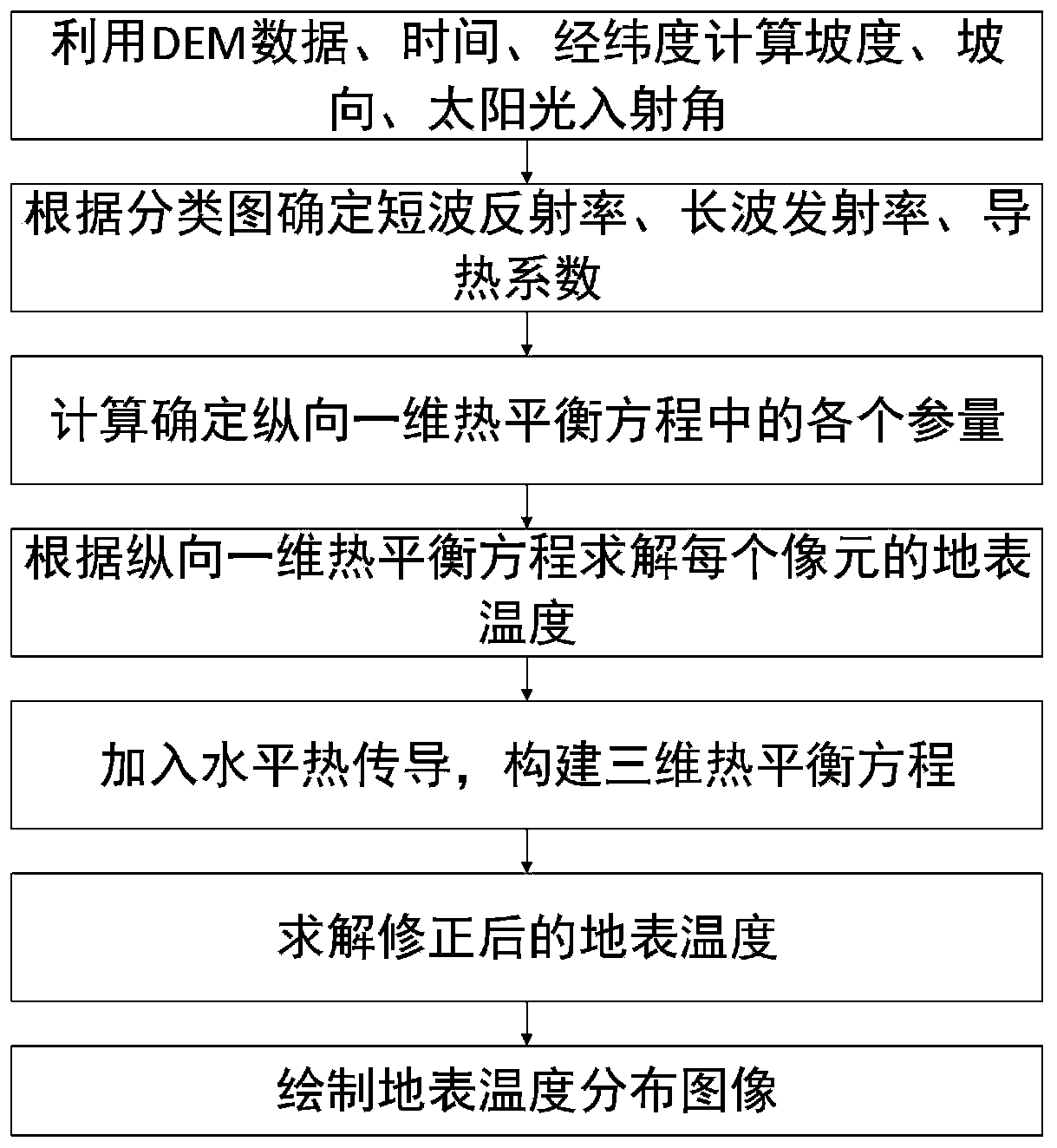
[0039] The present invention is a ground surface temperature simulation method with spatial continuity, the realization process is shown in figure 1 As shown, the steps are as follows:

[0040] (1) Use DEM data, time, latitude and longitude to calculate the slope, aspect, and sunlight incident angle of each pixel: use the DEM data to calculate the slope and aspect value at each pixel through the slope aspect calculation formula, and combine the time , longitude and latitude to further calculate the inc...


PUM


Abstract

The invention discloses a surface temperature simulation method with spatial continuity, and belongs to the technical field of remote sensing simulation. The method comprises the following steps: (1)calculating the gradient, the slope direction and the sunlight incident angle of each pixel by using time-space data; (2) determining the short-wave reflectivity, the long-wave emissivity and the heatconductivity coefficient of each pixel according to the classification diagram; (3) determining the radiation quantity and atmospheric parameters of each pixel; (4) solving the surface temperature ofeach pixel by utilizing the parameters determined in the steps (1)-(3) according to a one-dimensional heat balance equation considering longitudinal heat transfer; and (5) on the basis of the one-dimensional heat balance equation in the step (4), adding the transverse conduction heat flux of the adjacent pixels in the horizontal direction to the target pixel, constructing a three-dimensional heatbalance equation, and solving the corrected surface temperature of each pixel. Compared with similar methods, transverse heat conduction in the horizontal direction is introduced, the influence of space continuity on temperature simulation is considered, and the method is suitable for research of thermal infrared remote sensing.

Description

[0001] (1) Technical field [0002] The invention relates to a ground surface temperature simulation method with spatial continuity, which belongs to the technical field of remote sensing simulation and is suitable for the research of thermal infrared remote sensing. [0003] (2) Background technology [0004] Thermal infrared remote sensing generally refers to remote sensing whose working band is limited to the infrared band, and its working band is generally between 0.76-1000μm. For all matter, as long as its temperature is higher than absolute zero, it will emit infrared radiation to the outer space. The thermal radiation of an object is related to the temperature and composition of the material inside. Therefore, all objects in space will exchange energy through thermal radiation. When the external radiation energy absorbed by an object is equal to the radiation energy emitted by itself to the outside world, the object is in a state of thermal equilibrium. For general obj...

Claims


Application Information

Patent Timeline
Patent Type & Authority Applications(China)
IPC IPC(8): G01J5/00
CPCG01J5/007
Inventor 贾国瑞林谷昊赵慧洁
Owner BEIHANG UNIV
Learn More