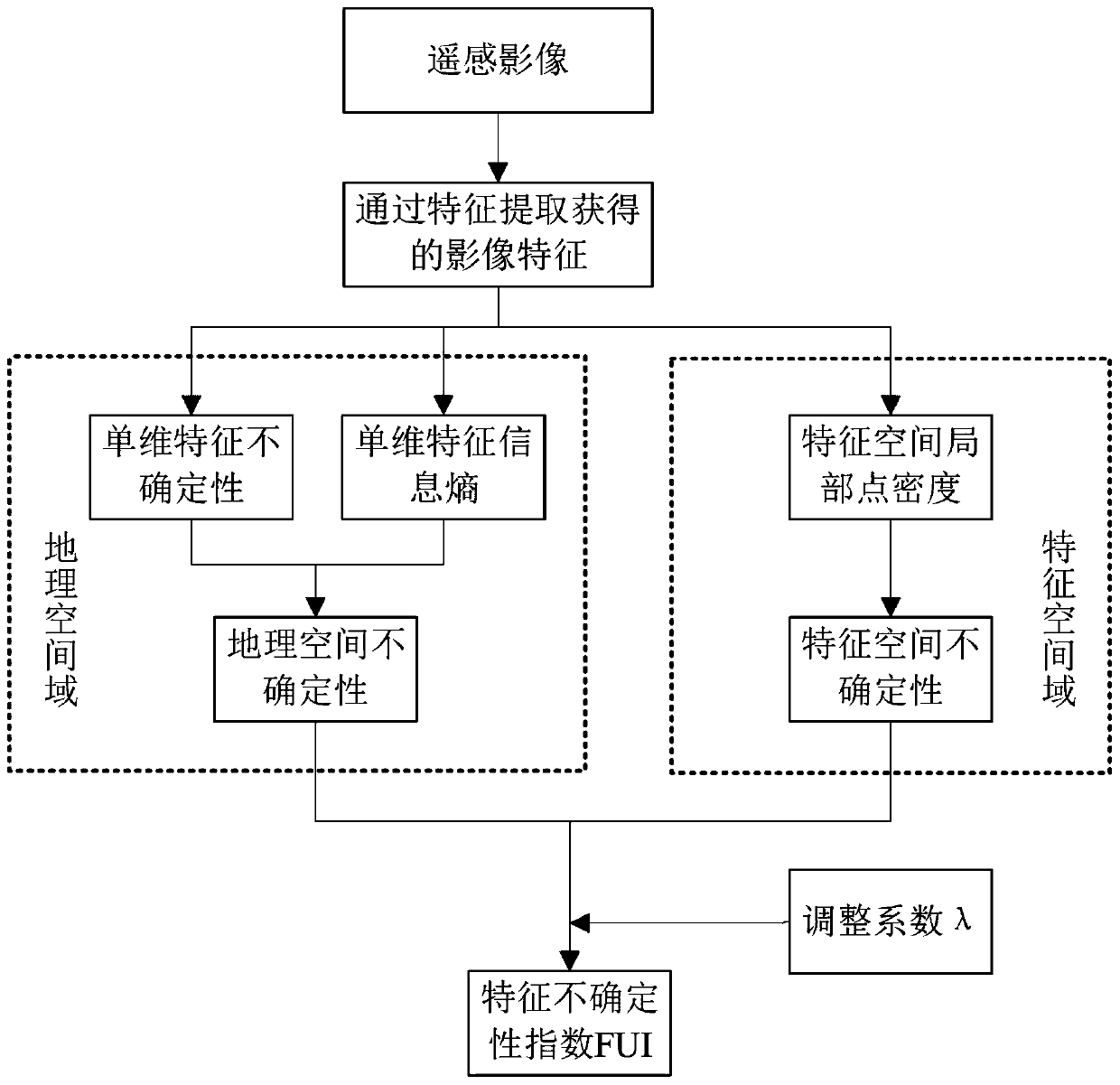
Uncertainty modeling and measuring method for remote sensing image features
An uncertainty, remote sensing image technology, applied in the field of remote sensing image processing and statistical modeling, can solve the problem of insignificant improvement of classification results, and achieve the effects of easy expansion, improved accuracy and reliability, and high practical value
- Summary
- Abstract
- Description
- Claims
- Application Information
AI Technical Summary
Problems solved by technology
Method used
Image
Examples
Embodiment Construction
[0046] In order to facilitate those of ordinary skill in the art to understand and implement the present invention, the present invention will be described in further detail below in conjunction with the accompanying drawings and embodiments. It should be understood that the implementation examples described here are only used to illustrate and explain the present invention, and are not intended to limit this invention.
[0047] The features extracted from remote sensing images contain different degrees of uncertainty, and these uncertainties will continue to propagate and accumulate in the process of image classification, and ultimately affect the accuracy and reliability of classification results. Only by accurately and effectively modeling and measuring the uncertainty of image features can we effectively control and constrain it in the process of image classification, thereby improving the accuracy and reliability of classification results. Therefore, quantitatively descri...
PUM
 Abstract
Description
Claims
Application Information
 - R&D
- Intellectual Property
- Life Sciences
- Materials
- Tech Scout
- Unparalleled Data Quality
- Higher Quality Content
- 60% Fewer Hallucinations
Browse by: Latest US Patents, China's latest patents, Technical Efficacy Thesaurus, Application Domain, Technology Topic, Popular Technical Reports.
© 2025 PatSnap. All rights reserved.Legal|Privacy policy|Modern Slavery Act Transparency Statement|Sitemap|About US| Contact US: help@patsnap.com


