Human activity change clue monitoring method oriented to protected area supervision
A technology for human activities and protected areas, applied in structured data retrieval, geographic information databases, instruments, etc., can solve problems such as low accuracy, low efficiency, and low universality, and achieve the effect of improving efficiency
- Summary
- Abstract
- Description
- Claims
- Application Information
AI Technical Summary
Problems solved by technology
Method used
Image
Examples
Embodiment 1
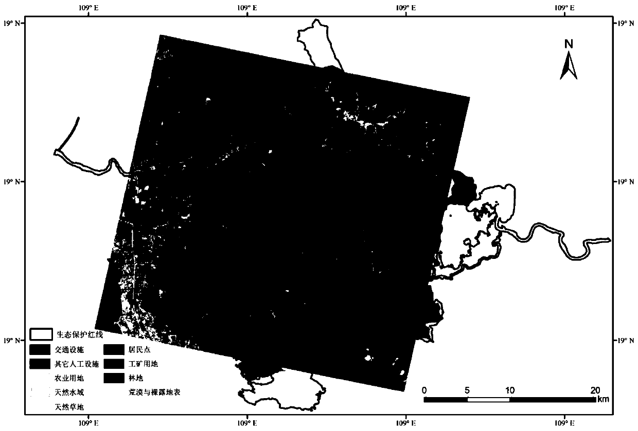
[0058] Take protected areas in Hainan Province as an example:
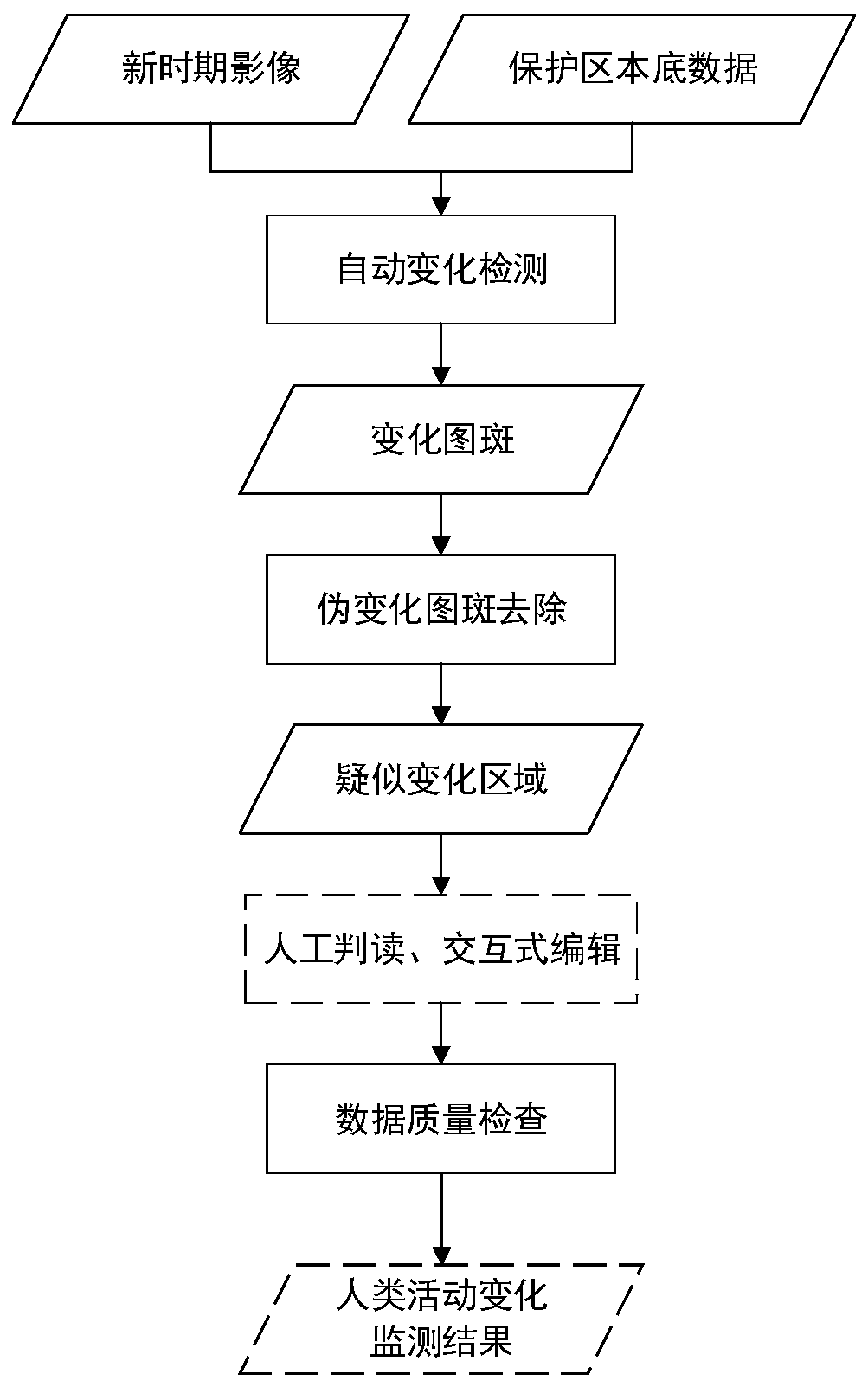
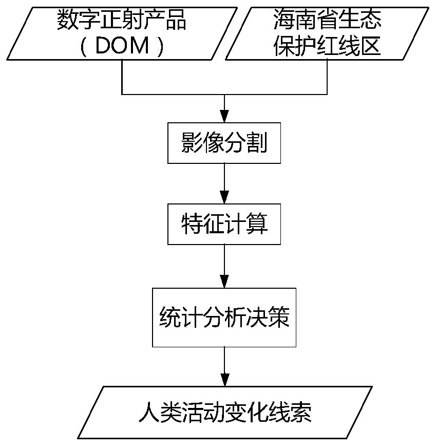
[0059] Step S1. Obtain historical vectors and new period images, and preprocess them.
[0060] a. Regional basic data include boundary data of protected areas in Hainan Province, background data of red line areas in Hainan Province, remote sensing data and elevation data. in:
[0061] The boundary data of the red line protected area comes from the Satellite Environment Application Center of the Ministry of Environmental Protection, including the first-class control area and the second-class control area. The data production time is 2015-03-22.
[0062] The background data of the red line area in Hainan Province comes from the Satellite Environment Application Center of the Ministry of Environmental Protection, including cultivated land, forest land, grassland and land used for various human activities.
[0063] Remote sensing data include Gaofen-1 panchromatic data and multispectral data. The data time is April...
PUM
 Abstract
Description
Claims
Application Information
 - R&D Engineer
- R&D Manager
- IP Professional
- Industry Leading Data Capabilities
- Powerful AI technology
- Patent DNA Extraction
Browse by: Latest US Patents, China's latest patents, Technical Efficacy Thesaurus, Application Domain, Technology Topic, Popular Technical Reports.
© 2024 PatSnap. All rights reserved.Legal|Privacy policy|Modern Slavery Act Transparency Statement|Sitemap|About US| Contact US: help@patsnap.com


