A knowledge-driven automatic change detection method for high spatial resolution remote sensing images
A high-spatial-resolution, remote-sensing image technology, applied in the field of automatic change detection of high-spatial-resolution remote-sensing images, can solve the problems of low change detection accuracy, low performance of change type discrimination, and affecting change detection accuracy
- Summary
- Abstract
- Description
- Claims
- Application Information
AI Technical Summary
Problems solved by technology
Method used
Image
Examples
Embodiment Construction
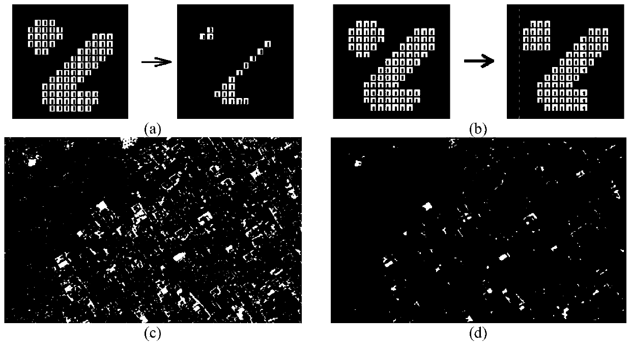
[0056] In order to better understand the technical solutions of the present invention, the present invention will be further described in detail below in conjunction with the accompanying drawings and embodiments.
[0057] In this specific implementation mode, under the environment of ENVI / IDL, IDL is combined with C++ language for development and optimization, and the whole process can realize automatic processing.
[0058] Step 1. Separation of urban areas / non-urban areas in the original image based on the visible light vegetation index. This step further includes:
[0059] Step 1.1, calculate the visible light vegetation index pixel by pixel on the original high-resolution image to obtain the VDVI image, the formula is: where ρ g , ρ r , ρ b Respectively represent the brightness values of the pixels in the three visible light bands of green, red and blue.
[0060] In step 1.2, calculate the mean value of the VDVI image, and use the mean value to binarize the VDVI im...
PUM
 Abstract
Description
Claims
Application Information
 - R&D Engineer
- R&D Manager
- IP Professional
- Industry Leading Data Capabilities
- Powerful AI technology
- Patent DNA Extraction
Browse by: Latest US Patents, China's latest patents, Technical Efficacy Thesaurus, Application Domain, Technology Topic, Popular Technical Reports.
© 2024 PatSnap. All rights reserved.Legal|Privacy policy|Modern Slavery Act Transparency Statement|Sitemap|About US| Contact US: help@patsnap.com


