A gis road black spot map generation method for advanced driver assistance system application
A driving assistance system and black spot technology, applied in traffic control systems, special data processing applications, traffic control systems of road vehicles, etc., can solve different, difficult to deal with, difficult to define accident black spots and other problems
- Summary
- Abstract
- Description
- Claims
- Application Information
AI Technical Summary
Problems solved by technology
Method used
Image
Examples
Embodiment 1
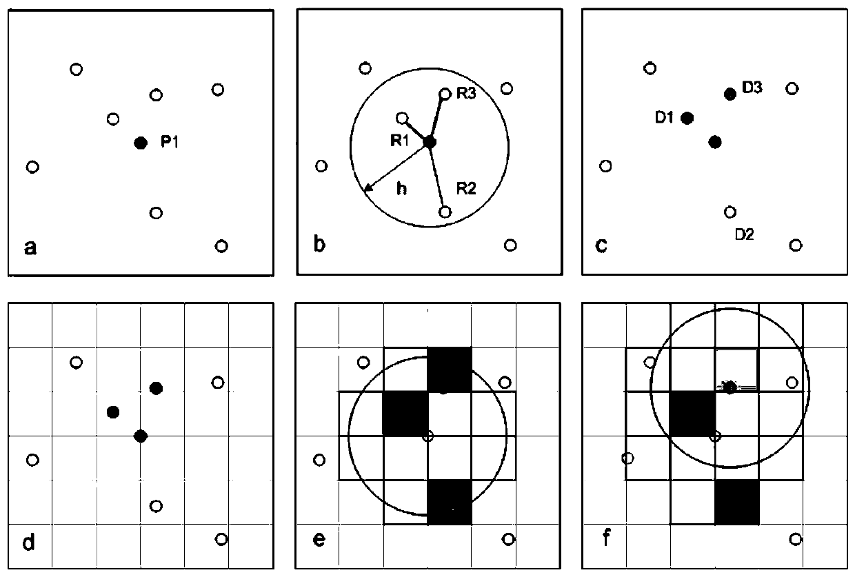
[0053] Such as Figure 4 As shown, the whole process of the method for generating the GIS road blackspot map in this embodiment is divided into three stages and nine steps. Among them, the data preparation stage is mainly used for the pre-data preparation and standardization work of the accident black spot extraction program. The main steps include: (1) collecting historical accident data; (2) standardizing historical accident data; (3) organizing accident data format. The analysis and extraction stage is mainly used for the specific implementation of accident black spot generation. The implementation principle is based on the method and principle shown above. The main steps include: (4) implement kernel density estimation; (5) implement volume contour extraction; (6) implement Black spot risk assessment. The data integration stage is mainly used for the specific implementation of the data blackspot extraction program. The main steps include: (7) implement blackspot data form...
PUM
 Abstract
Description
Claims
Application Information
 - R&D Engineer
- R&D Manager
- IP Professional
- Industry Leading Data Capabilities
- Powerful AI technology
- Patent DNA Extraction
Browse by: Latest US Patents, China's latest patents, Technical Efficacy Thesaurus, Application Domain, Technology Topic, Popular Technical Reports.
© 2024 PatSnap. All rights reserved.Legal|Privacy policy|Modern Slavery Act Transparency Statement|Sitemap|About US| Contact US: help@patsnap.com


