Satellite combined navigation method
A joint navigation and satellite navigation system technology, applied in the field of navigation system design, can solve problems such as long satellite deployment time, satellite function damage, and space junk generation, and achieve the goals of reducing satellite launch costs, improving resource utilization, and improving positioning accuracy Effect
- Summary
- Abstract
- Description
- Claims
- Application Information
AI Technical Summary
Problems solved by technology
Method used
Image
Examples
Embodiment Construction
[0040] The preferred embodiments of the present invention will be further described in detail below in conjunction with the accompanying drawings.
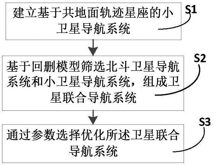
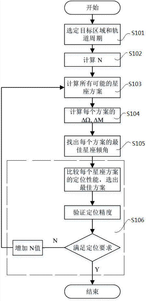
[0041] Such as figure 1 and figure 2 As shown, this example provides a satellite integrated navigation method, including the following steps:
[0042] Step S1, establishing a small satellite navigation system based on a common ground trajectory constellation;
[0043] Step S2: Screening the Beidou satellite navigation system and the small satellite navigation system based on the back-and-deletion model to form a satellite integrated navigation system; Structured navigation system, the integrated satellite navigation system is actually the integrated navigation system corresponding to the integrated satellite navigation method;
[0044] Step S3, optimizing the satellite integrated navigation system through parameter selection.
[0045] In other words, this example is mainly divided into two parts. The first part is to use the ...
PUM
 Abstract
Description
Claims
Application Information
 - R&D Engineer
- R&D Manager
- IP Professional
- Industry Leading Data Capabilities
- Powerful AI technology
- Patent DNA Extraction
Browse by: Latest US Patents, China's latest patents, Technical Efficacy Thesaurus, Application Domain, Technology Topic, Popular Technical Reports.
© 2024 PatSnap. All rights reserved.Legal|Privacy policy|Modern Slavery Act Transparency Statement|Sitemap|About US| Contact US: help@patsnap.com


