Urban ecological network construction method based on minimum cost distance model
A cost-effective and ecological technology, applied in data processing applications, special data processing applications, instruments, etc., can solve the problems of complex operation, high cost, difficulty in maintaining the circulation of materials and energy, and achieve the effect of small amount of calculation
- Summary
- Abstract
- Description
- Claims
- Application Information
AI Technical Summary
Problems solved by technology
Method used
Image
Examples
Embodiment Construction
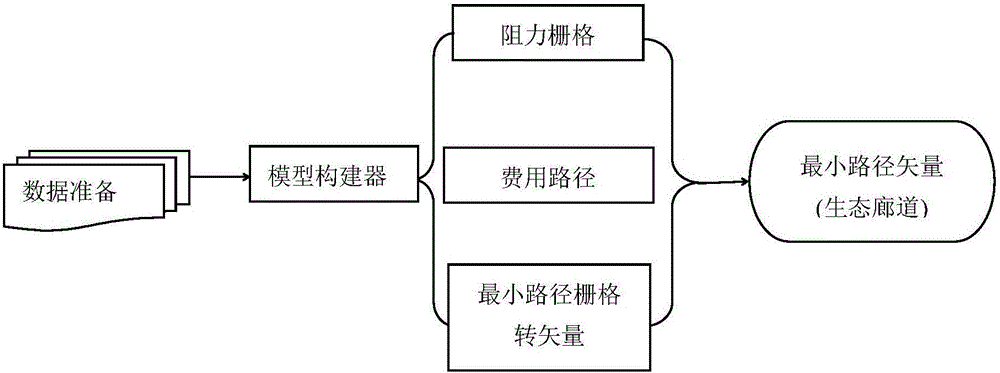
[0017] like figure 1 Shown is a flow chart of a method for constructing an urban ecological network based on the minimum cost distance model of the present invention. The process is described in detail as follows:
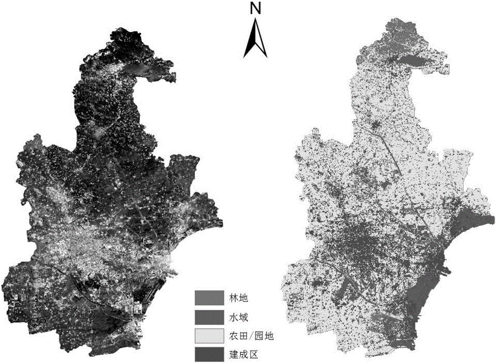
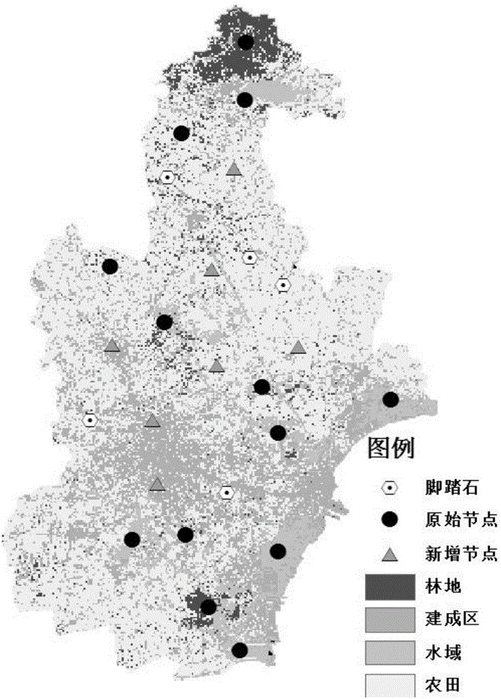
[0018] Step 1. Data preparation: Classify the land types based on the captured land remote sensing images, determine the resistance value of the resistance surface corresponding to each land type, select an ecological node, reclassify the land according to the ecological node data, and use the resistance value as The cell values of the resistance grid in the minimum cost distance model, generating the resistance grid;
[0019] Step 2, utilize the spatial analysis minimum distance module of GIS software to calculate the minimum cost distance between every two ecological nodes;
[0020] The minimum cost distance model is introduced as follows:
[0021] The minimum cost distance equation is based on the principle of graph theory, which can represent the minimum c...
PUM
 Abstract
Description
Claims
Application Information
 - R&D
- Intellectual Property
- Life Sciences
- Materials
- Tech Scout
- Unparalleled Data Quality
- Higher Quality Content
- 60% Fewer Hallucinations
Browse by: Latest US Patents, China's latest patents, Technical Efficacy Thesaurus, Application Domain, Technology Topic, Popular Technical Reports.
© 2025 PatSnap. All rights reserved.Legal|Privacy policy|Modern Slavery Act Transparency Statement|Sitemap|About US| Contact US: help@patsnap.com


