Method for Deshaking UAV Aerial Video

A technology of video deshaking and mechanical aviation, applied in the field of image processing, to achieve the effect of fast computing speed and good robustness

Active Publication Date: 2018-07-27
BEIHANG UNIV
View PDF7 Cites 0 Cited by
  • Summary
  • Abstract
  • Description
  • Claims
  • Application Information

AI Technical Summary

Problems solved by technology

[0004] Aiming at the problem that the existing image de-shaking methods cannot intelligently eliminate the road jitter in the road aerial image of the UAV, the present invention proposes an image de-shaking method based on the road direction histogram, and uses the method based on the road direction histogram to de-shake the road aerial image. shake

Method used


Image

  • Method for Deshaking UAV Aerial Video
  • Method for Deshaking UAV Aerial Video
  • Method for Deshaking UAV Aerial Video

Examples


Embodiment Construction

[0025] The present invention will be further described in detail with reference to the accompanying drawings and embodiments.

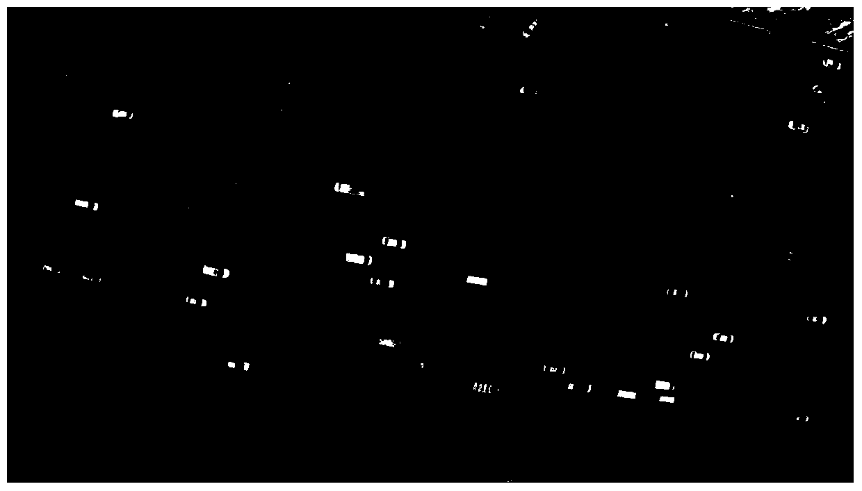
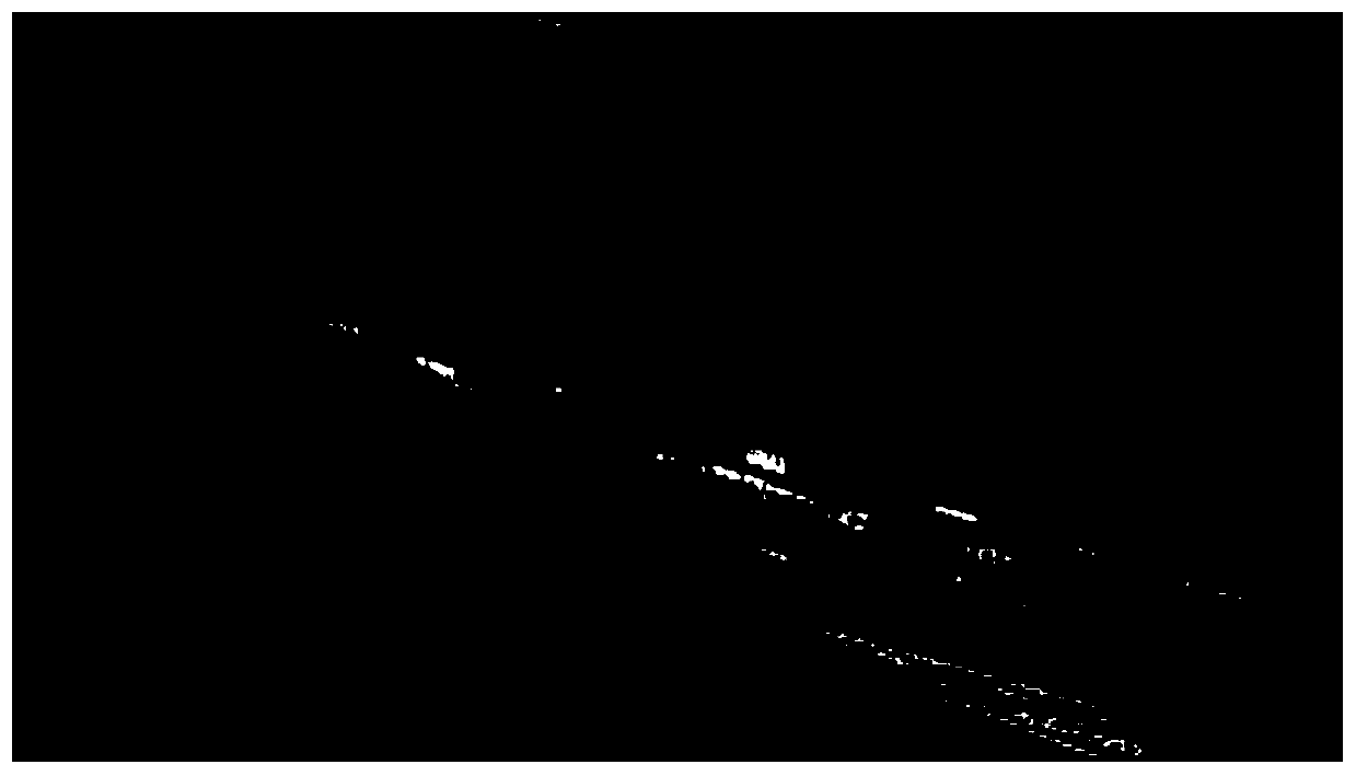
[0026] The present invention provides a method for de-shaking aerial images based on road direction histograms. The de-shaking method first preprocesses the extracted road aerial images and converts them into grayscale images; then obtains grayscale images based on Canny edge detection operator detection. Edge contour map, and then perform Hough transform on the edge contour map to detect straight lines; calculate the angle of the detected straight line and calculate the relative angle histogram of the straight line direction, extract the angle of the straight line corresponding to the maximum peak value of the relative angle histogram, and obtain Road direction; then based on the detected road direction, the original aerial image is rotated instantaneously, and the road can be rotated to a horizontal direction to achieve deshaking of the aerial image....


PUM


Abstract

The invention discloses a method for deshaking a UAV aerial video, comprising step 1: preprocessing of road aerial images; step 2: extracting straight lines based on aerial images; step 3: calculating straight line direction histograms; step 4: correcting and removing aerial images Shaking; the present invention utilizes the characteristic that most of the straight lines extracted by UAV aerial photography road image detection are parallel to the road direction, establishes a straight line relative angle histogram, and can obtain the angle of the road in the aerial photography image by detecting the angle corresponding to the maximum peak point of the histogram Direction, rotate the image according to the angle to adjust the road to the horizontal direction, and realize the deshaking of the aerial image. Based on the image processing technology, the invention realizes the deshaking of the road aerial image of the UAV by intelligently sensing the road direction and rotating the aerial image.

Description

technical field [0001] The invention belongs to the technical field of image processing, and relates to a method for deshaking aerial video of an unmanned aerial vehicle, in particular to a straight line extraction method based on image edge detection and Hough transform, a road direction detection method based on a straight line angle histogram and a method based on A correction method for images rotated in the direction of the road to achieve the purpose of image deshaking. Background technique [0002] UAVs are widely used in surveying and mapping, aerial photography, traffic monitoring and other fields because of their advantages such as strong mobility, wide field of vision, and flight routes not restricted by terrain. The application of two-axis and three-axis stabilized gimbals eliminates the problem of image jitter caused by drone attitude adjustment and external conditions (gusts), but in many application scenarios, such as UAV highway traffic monitoring, due to the...

Claims


Application Information

Patent Timeline
Patent Type & Authority Patents(China)
IPC IPC(8): H04N5/357H04N9/04
CPCH04N25/61H04N23/10
Inventor 王云鹏徐永正余贵珍吴新开马亚龙
Owner BEIHANG UNIV
Why Eureka
Try Eureka