Three-dimensional map data processing method based on multiple detailed layers
A multi-level of detail, three-dimensional map technology, applied in image data processing, electrical digital data processing, special data processing applications, etc., can solve the problems of insufficient texture memory, information can not be timely, loading and other problems
- Summary
- Abstract
- Description
- Claims
- Application Information
AI Technical Summary
Problems solved by technology
Method used
Image

Examples
Embodiment Construction
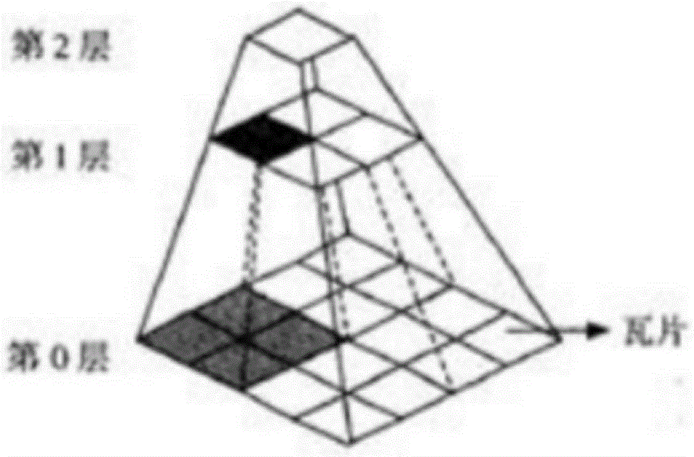
[0071] See Figure 1-Figure 7 , a method for processing three-dimensional map data based on multiple levels of detail, the present invention is characterized in that it comprises 3 steps: digital orthophoto image cutting, digital elevation data cutting, elevation data mosaic and edge joining; wherein:
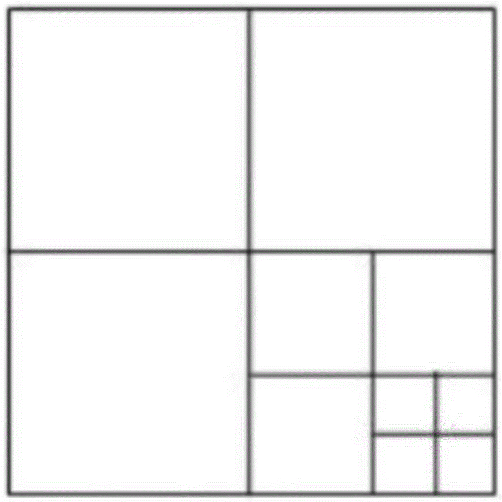
[0072] Digital orthophoto cutting: digital orthophoto cutting is to cut satellite images into tiles of 256*256 pixels according to the pyramid model, and the cut tiles are coded and named according to the format of l_r_c.png, where l is the layer of the pyramid model number, r is the row number of the pyramid model, and c is the column number of the pyramid model;
[0073] Digital elevation data cutting: digital elevation data cutting is to establish an irregular triangular network of contour lines and elevation points, and then cut them into small cubes of 256*256*256 pixels according to the pyramid model on the irregular basis to establish DEM data; after cutting Small cubes...
PUM
 Abstract
Description
Claims
Application Information
 - R&D
- Intellectual Property
- Life Sciences
- Materials
- Tech Scout
- Unparalleled Data Quality
- Higher Quality Content
- 60% Fewer Hallucinations
Browse by: Latest US Patents, China's latest patents, Technical Efficacy Thesaurus, Application Domain, Technology Topic, Popular Technical Reports.
© 2025 PatSnap. All rights reserved.Legal|Privacy policy|Modern Slavery Act Transparency Statement|Sitemap|About US| Contact US: help@patsnap.com