Map display device and map display method
a map display and map technology, applied in maps/plans/charts, navigation instruments, instruments, etc., can solve the problems of increasing the size and cost of the device, and achieve the effect of simple calculation, easy display and simple computational process
- Summary
- Abstract
- Description
- Claims
- Application Information
AI Technical Summary
Benefits of technology
Problems solved by technology
Method used
Image
Examples
example 1
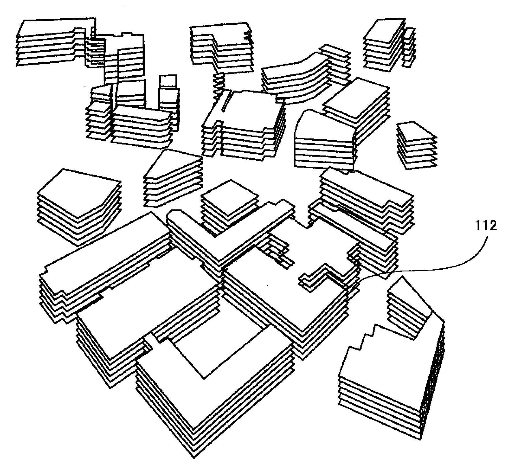
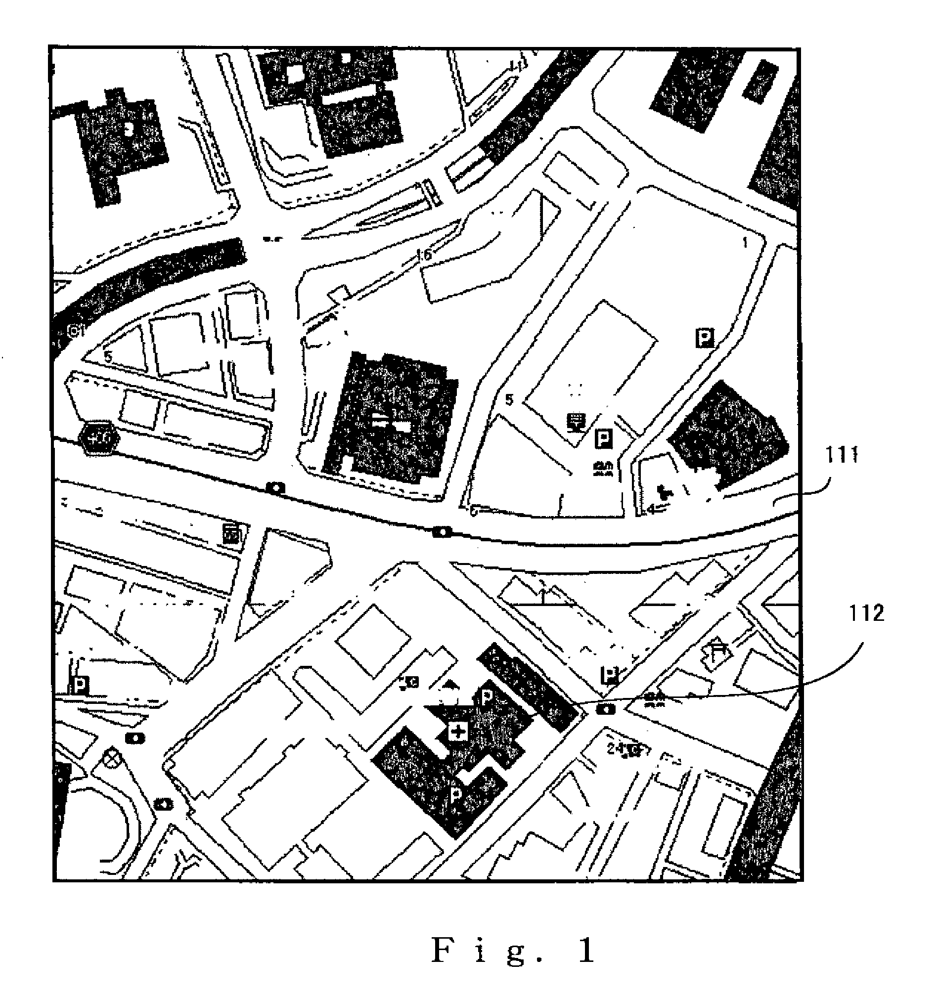
[0123]The map displayed in the display means of the map display device according to Example 1 of the present invention is displayed by presenting a plan view of vector map data that are received from a route search server by a navigation application for performing a route search, as shown in FIG. 1. FIG. 1 is monochrome, but lots or buildings are indicated by polygons and color-coded by a color that is determined by the attributes of the lot or building. Specifically, a road 111 is drawn in the displayed map as shown in FIG. 1, and the outline of the lot or building of the building 112 is drawn in the corresponding position on the map. As previously mentioned, the map data are thus accumulated as a map data DB (database) in the route search server as map data that are separate from the data of the road network used for route searching, and the map data are transmitted according to a request from the navigation terminal device, or are transmitted to the navigation terminal device alo...
example 2
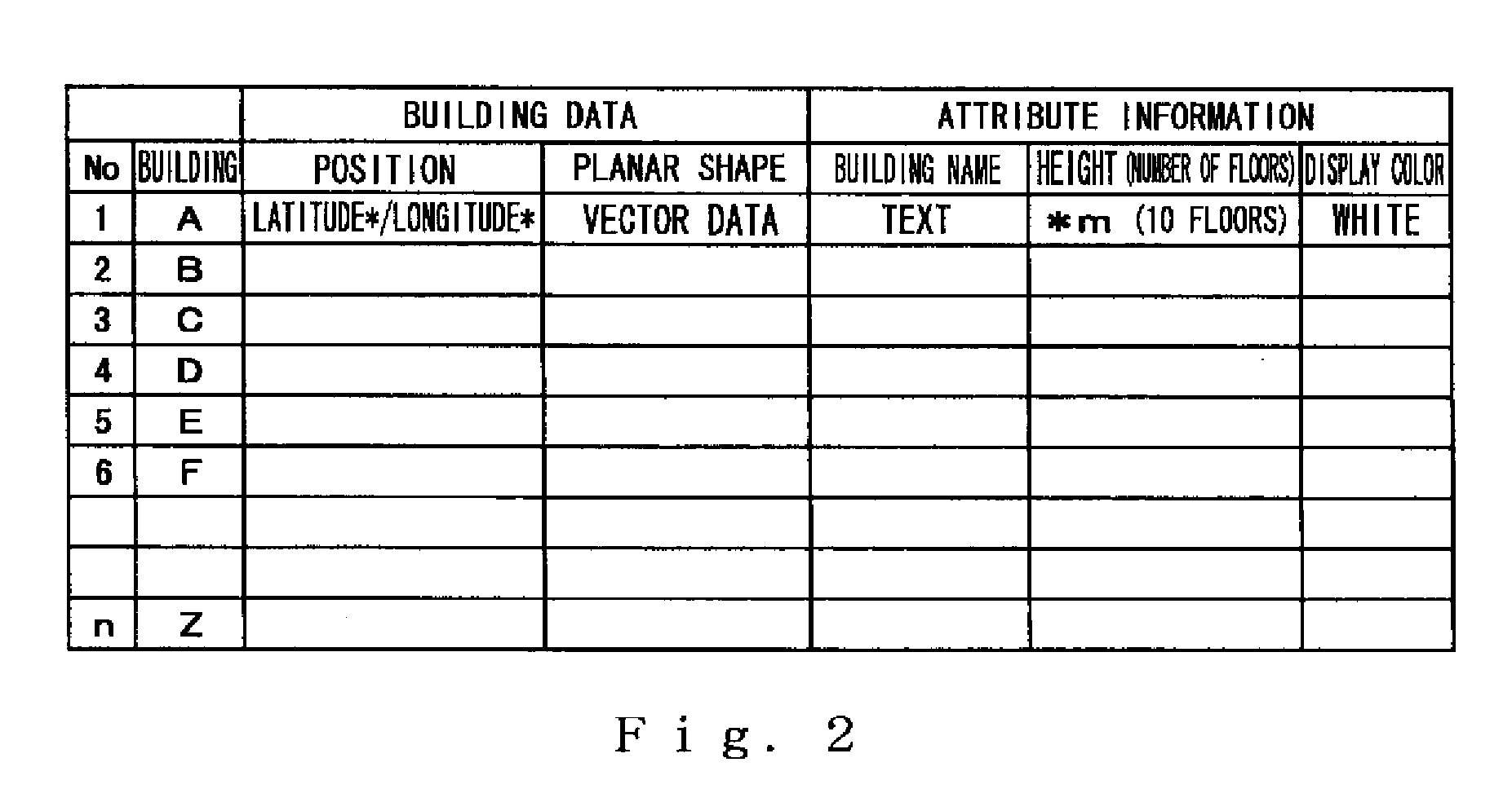
[0145]The display method in Example 1 performed a drawing routine for displaying the buildings at a uniform height, but a display method may also be employed that draws the buildings accurately according to the height or number of floors. Example 2 is a flowchart showing the sequence of routines in this display method. The map display system 10 is configured in the same manner as in Example 1.
[0146]Example 2 is a method for reproducing a building relatively faithfully when the number of floors is included in the building data. FIG. 8 is a flowchart showing the sequence of display routines according to Example 2 of the present invention. In the routine of step S20, the building position determination means 220 extracts buildings at the top of the screen, i.e., buildings that are at distant positions in the bird's-eye view. Then, in the routine of step S21, the means for creating a plane figure for a bird's-eye view 218 affine transforms vector data that indicate the shapes of the bui...
example 3
[0150]For a pedestrian, it may not be necessary to faithfully represent the height of the buildings. The number of floors is unimportant particularly for tall buildings, and only the fact that the building is tall is important, so the map display device is adequate insofar as the building can be depicted as tall. Therefore, the building heights in Example 3 of the present invention are classified into the two height types tall and short, and there are two numbers of times which the bird's-eye-view plane figures (polygons) are duplicated and drawn. The map display system 10 of Example 3 is configured in the same manner as the map display system 10 in Example 1.
[0151]FIG. 10 is a flowchart showing the sequence of display routines according to Example 3 of the present invention. In the routine of step S30, the building position determination means 220 extracts buildings at the top of the screen, i.e., buildings that are at distant positions in the bird's-eye view. Then, in the routine ...
PUM
 Abstract
Description
Claims
Application Information
 - R&D
- Intellectual Property
- Life Sciences
- Materials
- Tech Scout
- Unparalleled Data Quality
- Higher Quality Content
- 60% Fewer Hallucinations
Browse by: Latest US Patents, China's latest patents, Technical Efficacy Thesaurus, Application Domain, Technology Topic, Popular Technical Reports.
© 2025 PatSnap. All rights reserved.Legal|Privacy policy|Modern Slavery Act Transparency Statement|Sitemap|About US| Contact US: help@patsnap.com


