Proximity search methods using tiles to represent geographical zones
- Summary
- Abstract
- Description
- Claims
- Application Information
AI Technical Summary
Benefits of technology
Problems solved by technology
Method used
Image
Examples
Embodiment Construction
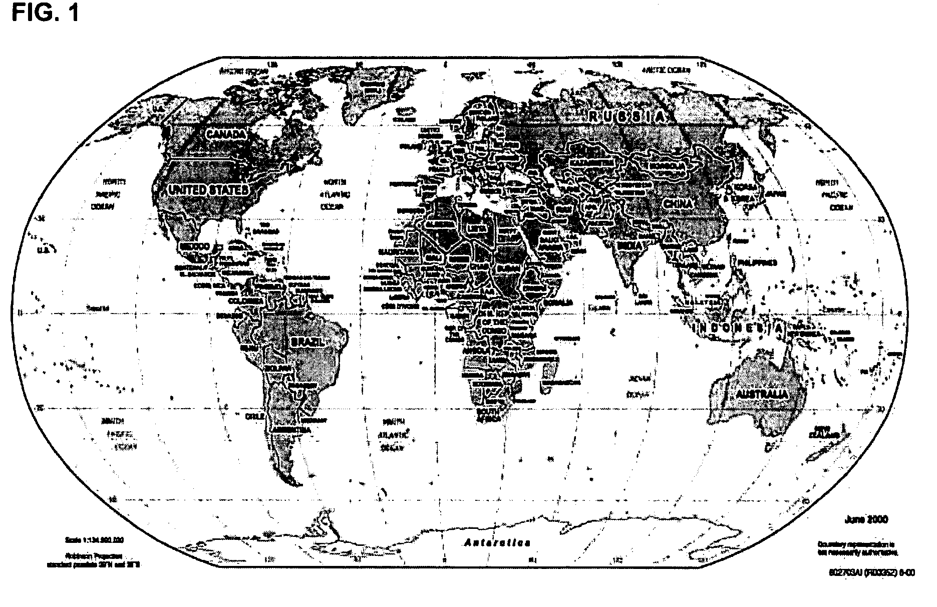
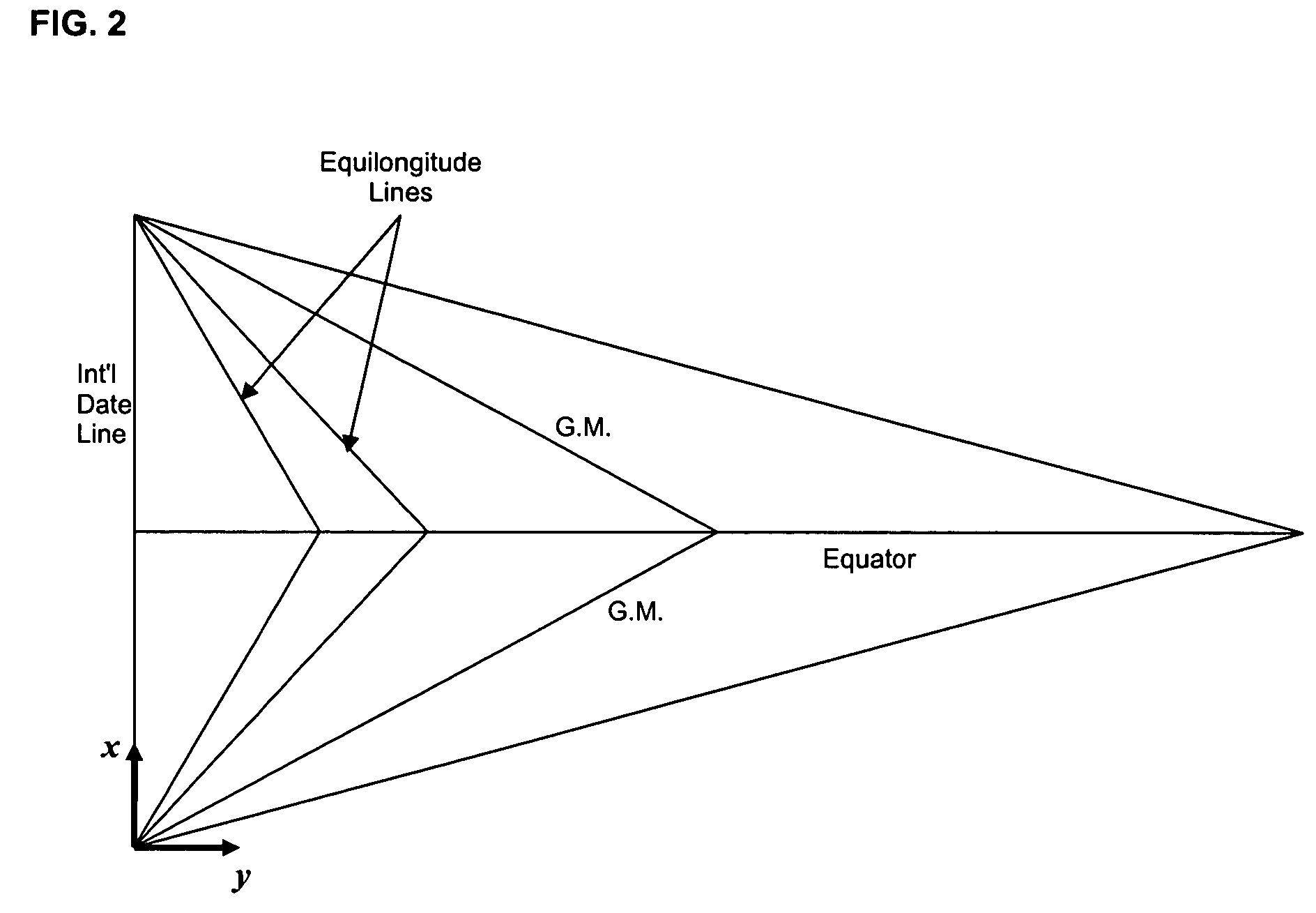
[0022] Each geographic location in FIG. 1, which can be represented as latitude and longitude, may be mapped onto a point in FIG. 2. In fact, the map of FIG. 1 is divided into a plurality predefined geographical regions or areas, referred to as tiles, and all points contained in one tile map onto a single point in FIG. 2. A tile can have any configuration, but in the embodiment of the invention described herein, each such tile covers roughly the same area in FIG. 1 and all four sides of each such tile have the same fixed length. The formulas used for mapping a location in FIG. 1 that is defined by latitude and longitude onto a point in FIG. 2 are as follows:
LatQ=Int(latitude+90)*k / r+1); and
LongQ=Int(longitude+180)*k Cos (latitude / r+1),
where latitude and longitude values are expressed in degrees; k is a factor for converting a 1-degree arc measured with respect to earth's center into miles (k=2π*(earth's radius) / 360°=69.0933 miles / degree); r is the length of each side of a tile (...
PUM
 Abstract
Description
Claims
Application Information
 - R&D
- Intellectual Property
- Life Sciences
- Materials
- Tech Scout
- Unparalleled Data Quality
- Higher Quality Content
- 60% Fewer Hallucinations
Browse by: Latest US Patents, China's latest patents, Technical Efficacy Thesaurus, Application Domain, Technology Topic, Popular Technical Reports.
© 2025 PatSnap. All rights reserved.Legal|Privacy policy|Modern Slavery Act Transparency Statement|Sitemap|About US| Contact US: help@patsnap.com


