Method for monitoring illegal building based on DSM and DOM
A technology for construction and illegal construction, applied in the field of surveying and mapping geographic information, can solve the problems of cumbersome work, low efficiency, and insufficient monitoring accuracy, and achieve the effects of flexible functions, improved efficiency, task efficiency and deterrence.
- Summary
- Abstract
- Description
- Claims
- Application Information
AI Technical Summary
Problems solved by technology
Method used
Image
Examples
Embodiment 1
[0063] Example 1: Third-party aerial photography technical service project in Meijiang District
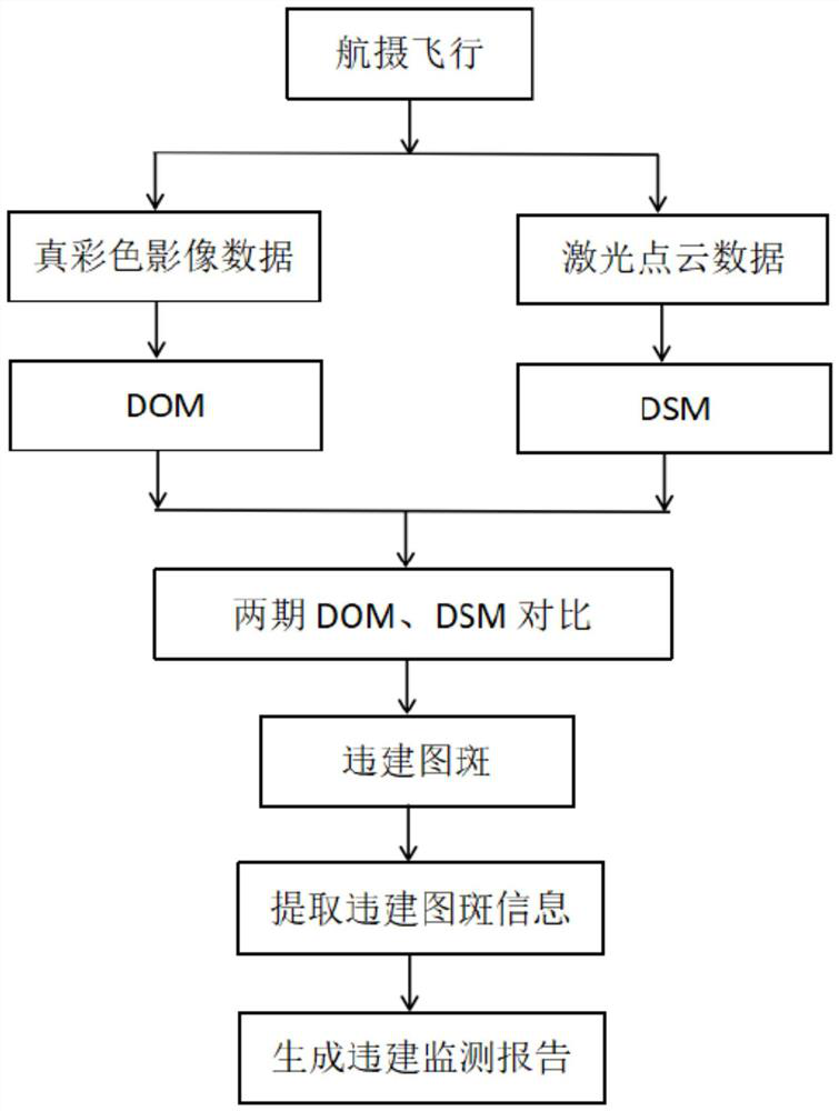
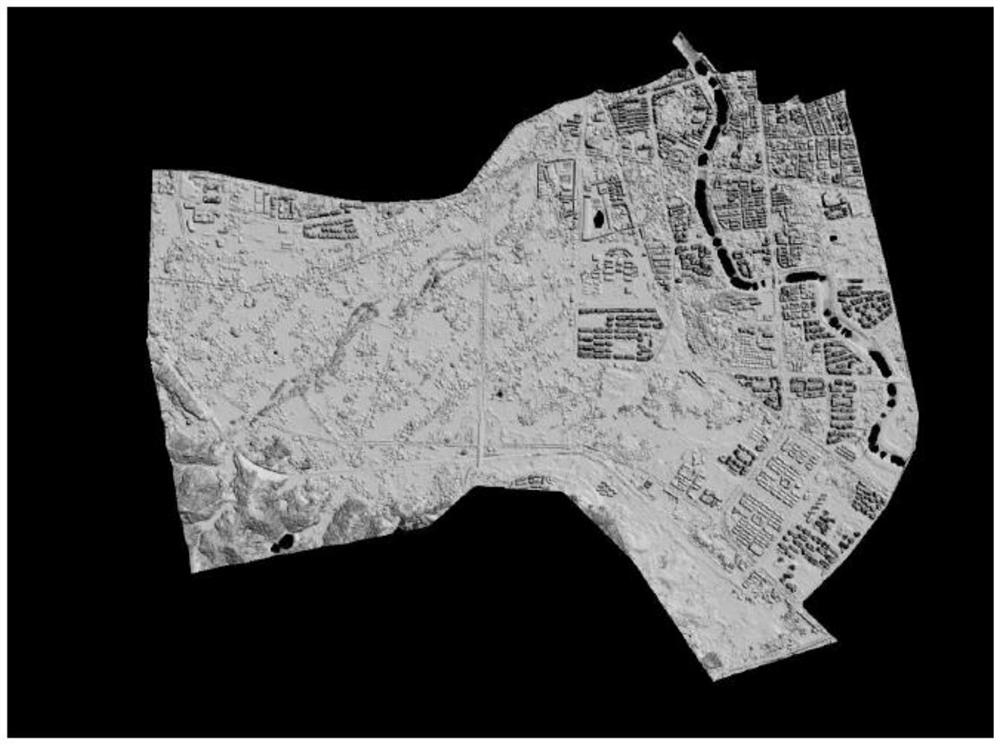
[0064] The main work content of this project is to take aerial photography of the target area every 7 days for key areas of about 105 square kilometers within the urban area of Meijiang District, Meizhou City, comprehensively and accurately obtain the current status of buildings in the target area, and archive the aerial photography data of each period ;Establish a three-dimensional lidar-based surface elevation model and map spot comparison environment; compare the data before and after the target area, and submit the position information, coordinate parameters, and comparison picture information of the changed buildings in the target area and other related data results; The minimum requirement for the surface elevation model is a scale of 1:2000; the number of days of extreme weather such as the average annual rainfall and strong winds in Meizhou City is 142 days, and the numbe...
Embodiment 2
[0065] Example 2: Xingning City Planning and Construction Comprehensive Monitoring Project
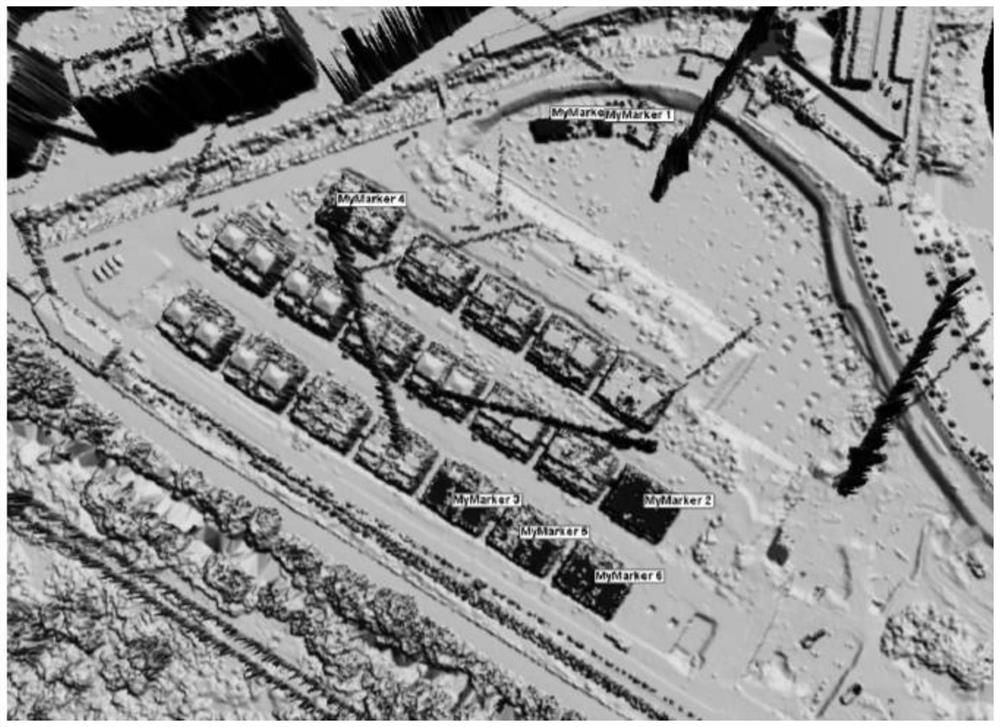
[0066] The main work content of this project is to conduct periodic monitoring of the buildings within the 53 square kilometers of the key planning of Xingning City, and realize the rapid discovery of illegal buildings by comparing data from multiple periods. In terms of building height change monitoring, priority will be given to the height change monitoring of the main urban area of Xingning City. Considering the airspace and weather factors comprehensively, the accumulative number of collections in the whole year is 32 times. In this project, the self-innovated monitoring technology means - airborne laser radar measurement technology and the latest illegal building monitoring means - the method of monitoring illegal buildings based on DSM and DOM are also used. This method can obtain places with illegal buildings with high efficiency and high accuracy, making up for the shortcomi...
PUM
 Abstract
Description
Claims
Application Information
 - R&D
- Intellectual Property
- Life Sciences
- Materials
- Tech Scout
- Unparalleled Data Quality
- Higher Quality Content
- 60% Fewer Hallucinations
Browse by: Latest US Patents, China's latest patents, Technical Efficacy Thesaurus, Application Domain, Technology Topic, Popular Technical Reports.
© 2025 PatSnap. All rights reserved.Legal|Privacy policy|Modern Slavery Act Transparency Statement|Sitemap|About US| Contact US: help@patsnap.com


